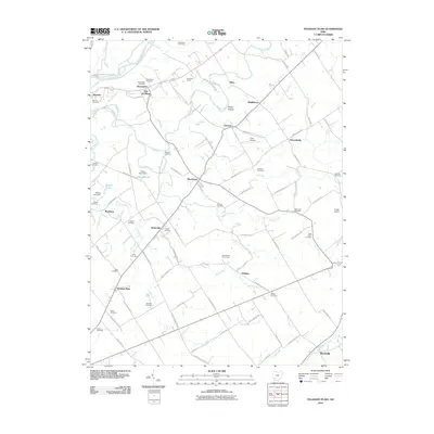
2010 Map of Pleasant Plain
USGS Topo · Published 2010About this map
The Little Miami River cuts through the northwest corner of this region, where the community of Morrow sits near the confluence with Todd Fork. The landscape is defined by a dense network of country roads connecting small settlements such as Butlerville, Pleasant Plain, and Edwardsville. These corridors, including Morrow Woodville Rd and Edwardsville Rd, reveal a deeply rooted agricultural and rural residential character. Numerous family and community burial grounds, such as the Old Quaker Cemetery and Stiles Cemetery, are scattered throughout the townships, providing a clear map of local lineage and early settlement patterns.
Find a feature on this map
100 named features on this map. Tap any name to fly to it.
Don’t see what you’re looking for? This feature index may not catch every label — zoom into the map to look around manually.
Map Details
Editions of this 2010 Pleasant Plain Map
This is the sole edition of this map. No revisions or reprints were ever made.
Other maps of this area

1907 · Blanchester
USGS Topo · 1:62,500

1914 · Batavia
USGS Topo · 1:48,000

1914 · Morrow
USGS Topo · 1:62,500

1916 · Batavia
USGS Topo · 1:62,500

1916 · Morrow
USGS Topo · 1:62,500

1917 · Sardinia
USGS Topo · 1:62,500

1944 · Sardinia
USGS Topo · 1:62,500

1947 · Columbus
USGS Topo · 1:250,000

1953 · Goshen
USGS Topo · 1:24,000

1953 · Newtonsville
USGS Topo · 1:24,000