Old Maps of Oregonia, Ohio for Genealogy
Trace your family roots with 13 historic maps of Oregonia. These high-res maps reveal old neighborhoods, homesites, landmarks, and streets — helping you uncover where your ancestors lived and how the area evolved over time.
- Explore historic neighborhoods: Identify where your relatives may have lived in the 1800s or 1900s.
- Compare maps over time: Trace the changes in streets, buildings, and landmarks for multi-generational research.
- Perfect for genealogy & ancestry research: Used by family historians and researchers to map out lineage and migration.
These maps are an incredible resource for exploring your personal connection to Oregonia's past.
Oregonia, OH maps
(13)- 1914 Map of Morrow, 1963 Print
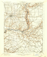
 1914 Morrow1963 Print · USGSWarren County in the years before the Great War is a landscape of thriving river towns and busy rail junctions. Genealogists and historians can trace family locations through numerous rural schoolhouses like Chestnut Ridge School or landmarks like Fort Ancient and Stubbs Mill.
 - 1916 Map of Morrow, 1936 Print
 1916 Morrow1936 Print · USGSWarren County at the start of the Great War is a landscape of thriving river towns and dense rural school districts. Genealogists can locate family-named schools and early settlements like Harveysburg, Maineville, and the landmark Fort Ancient.2 unique versions available
 - 1953 Map of Cincinnati, 1965 Print
 1953 Cincinnati1965 Print · USGSThe Ohio River valley and the industrial heartland of Indiana and Ohio are captured here during the mid-century peak of rail and river commerce. Genealogists and historians can trace connections between Cincinnati and outlying military sites like Camp Atterbury and Bakalar AFB.3 unique versions available
 - 1955 Map of Oregonia, 1956 Print
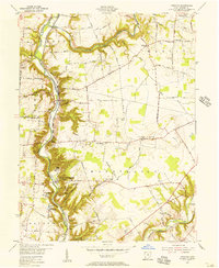 1955 Oregonia1956 Print · USGSWarren County at the dawn of the interstate era still revolves around the river valley and its rail connections. Researchers can trace ancestral locations at Mathers Mills, Harveysburg, and local landmarks like Olive Branch Ch.2 unique versions available
 - 1957 Map of Cincinnati
 1957 Cincinnati1957 Print · USGSThe Ohio River valley and its surrounding highlands thrived during the mid-fifties industrial peak, centered on the bustling Cincinnati and Dayton metropolitan hubs. Researchers can trace the extensive rail networks and military sites like Wright-Patterson AFB and Camp Atterbury.
 - 1968 Map of Oregonia, 1970 Print
 1968 Oregonia1970 Print · USGSWarren County's river bluffs and prehistoric earthworks are preserved here in the late sixties. Genealogists and historians can trace family land via Lukens Road or locate early markers at Turtle Creek Cem and the ancient Burial Mounds.3 unique versions available
 - 1986 Map of Cincinnati
 1986 Cincinnati1986 Print · USGSGreater Cincinnati and its tri-state surrounds are captured here in the mid-eighties as suburban growth reached into the neighboring hills and river valleys. Researchers can trace the development of transit hubs like Greater Cincinnati International Airport and historic sites such as Spring Grove Cemetery.3 unique versions available
 - 1996 Map of Oregonia, 1999 Print
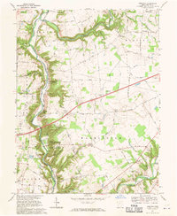
 1996 Oregonia1999 Print · USGSWarren County at the close of the twentieth century reveals a landscape where ancient earthworks meet modern conservation efforts. Genealogists and historians can trace family sites at Turtle Creek Cem or explore the river-valley hamlets of Oregonia and Mathers Mills.
 - 2011 Map of Oregonia, 2011 Print
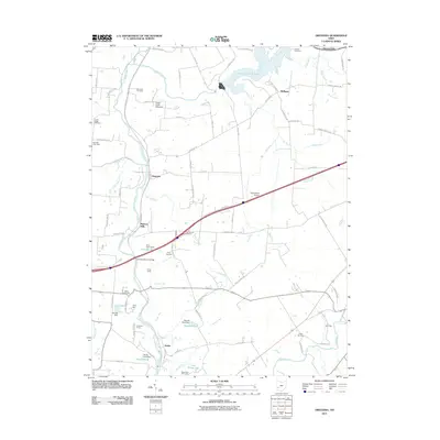 2011 Oregonia2011 Print · USGSCovers Oregonia, including Harveysburg, Senior, and other nearby areas
 - 2013 Map of Oregonia, 2013 Print
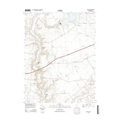 2013 Oregonia2013 Print · USGSCovers Oregonia, including Harveysburg, Senior, and other nearby areas
 - 2016 Map of Oregonia, 2016 Print
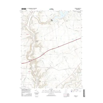 2016 Oregonia2016 Print · USGSCovers Oregonia, including Harveysburg, Senior, and other nearby areas
 - 2019 Map of Oregonia, 2019 Print
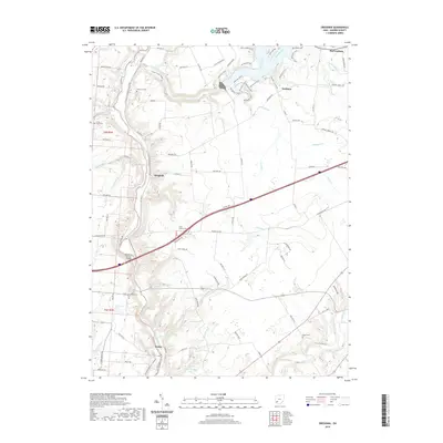 2019 Oregonia2019 Print · USGSCovers Oregonia, including Harveysburg, Senior, and other nearby areas
 - 2023 Map of Oregonia, 2023 Print
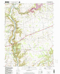
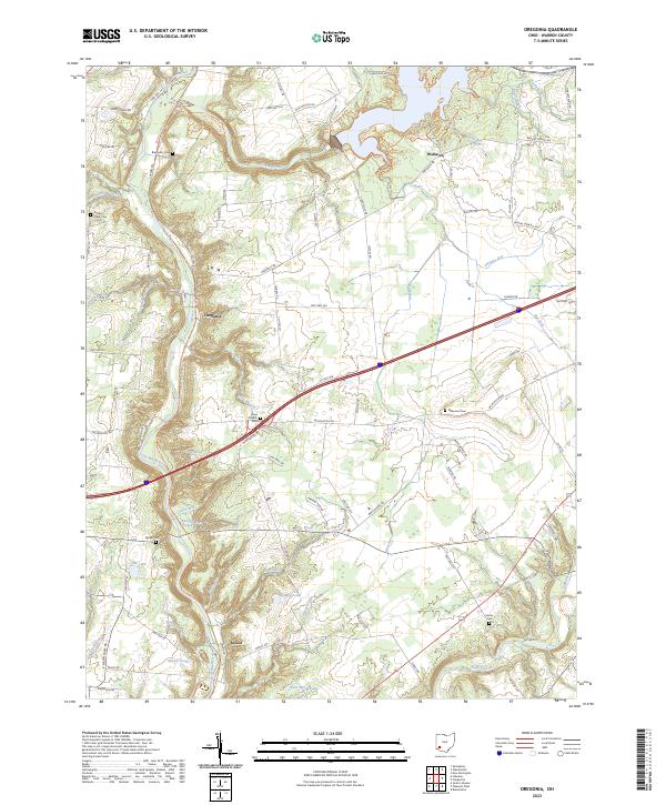 2023 Oregonia2023 Print · USGSWarren County at the start of the 2020s shows a landscape where the Little Miami River valley meets long-standing rural settlements. Genealogists and hikers can trace historical burials at Turtle Creek Cem or follow the path of the North Country National Scenic Trl through Oregonia.
End of results
Showing maps 1-13 of 13
Top cities near Oregonia
- Kettering historical maps
- Middletown historical maps
- Mason historical maps
- Xenia historical maps
- Centerville historical maps
- Lebanon historical maps
See more
Frequently asked questions
- What are the different types of historical maps available for Oregonia?
- What is the oldest map of Oregonia?
- Where can I purchase historical maps of Oregonia for my home or office?
- Where can I download high-res historical maps of Oregonia?
- Are there historical topographic maps available for Oregonia?
- Is there historical aerial imagery available for Oregonia?
- Where are historical maps of Oregonia sourced from?