2000s (21st Century) Maps of Fay, Ohio
Explore 6 historic maps of Fay from the 2000s (21st Century). These maps offer a rare glimpse into what life looked like during the 2000s — showing old roads, neighborhoods, homes, and landmarks that have changed or disappeared over time.
Whether you're researching your family's past, planning a metal detecting trip, or studying how Fay's landscape evolved across the 2000s, these high-resolution maps are a powerful tool for exploring the history of this region.
- Focus on a specific era: All maps on this page are from the 2000s, giving you a focused view of this time period.
- See what’s changed: Compare century-old streets, trails, and buildings to today's modern landscape using overlays and satellite layers.
- Research with precision: Use these maps for genealogy, historical research, land use analysis, or educational projects.
- View, download, or print: Maps are fully viewable online in high resolution, and can be downloaded or printed for your own records.
Start exploring Fay's history through authentic maps from the 2000s. This is your window into the past.
Fay, OH maps
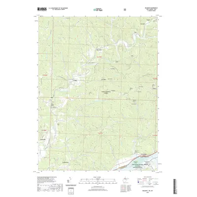
(6)- 2002 Map of Belmont, 2006 Print
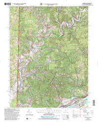 2002 Belmont2006 Print · USGSPleasants County and the Ohio-West Virginia border are captured here at the turn of the millennium as the river-bound economy shifted toward conservation and recreation. Researchers can trace family roots through numerous sites like Dye Cem, Beech Grove Ch, and the settlement of Cornerville.
 - 2011 Map of Belmont, 2011 Print
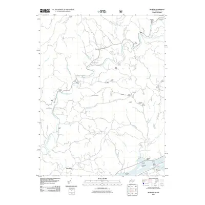 2011 Belmont2011 Print · USGSCovers Fay, including Belmont, Newell Run, and other nearby areas
 - 2014 Map of Belmont, 2014 Print
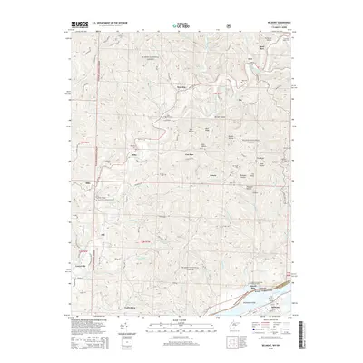 2014 Belmont2014 Print · USGSCovers Fay, including Belmont, Newell Run, and other nearby areas
 - 2016 Map of Belmont, 2016 Print
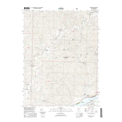 2016 Belmont2016 Print · USGSCovers Fay, including Belmont, Newell Run, and other nearby areas
 - 2019 Map of Belmont, 2019 Print
 2019 Belmont2019 Print · USGSCovers Fay, including Belmont, Newell Run, and other nearby areas
 - 2023 Map of Belmont, 2023 Print
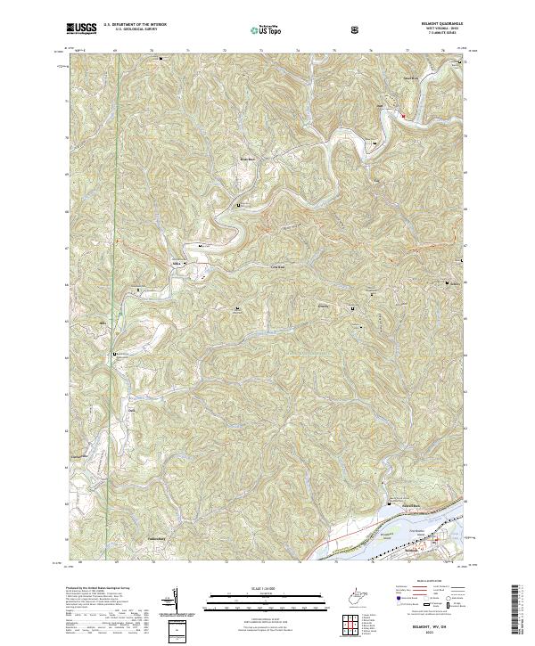 2023 Belmont2023 Print · USGSAlong the bends of the Ohio River in the early twenty-first century, this area maintains its rural character through traditional settlements and river valley landmarks. Researchers can locate numerous family burial grounds like Old Dutch Cem and Mount Pisgah Cem or trace the North Country National Scenic Trl through the woods.
End of results
Showing maps 1-6 of 6
Top cities near Fay
- Parkersburg historical maps
- Marietta historical maps
- Williamstown historical maps
- Newport historical maps
- Grandview historical maps
- Belmont historical maps
See more
Frequently asked questions
- What are the different types of historical maps available for Fay?
- What is the oldest map of Fay?
- Where can I purchase historical maps of Fay for my home or office?
- Where can I download high-res historical maps of Fay?
- Are there historical topographic maps available for Fay?
- Is there historical aerial imagery available for Fay?
- Where are historical maps of Fay sourced from?