Old Maps of Fleming, Ohio for Hiking & Exploration
Hike through history with 14 historic maps of Fleming. Explore old trails, ghost towns, and forgotten backroads — perfect for outdoor adventurers and local explorers.
- Rediscover forgotten places: Map out old mining camps, roads, and footpaths that no longer exist on modern maps.
- Layer with modern tools: Combine with LiDAR or satellite views to plan hikes through historical terrain.
- Made for exploration: Popular among hikers, overlanders, and local history lovers.
Use these maps to find adventure and explore the hidden past of Fleming.
Fleming, OH maps
(14)- 1902 Map of Parkersburg
 1902 Parkersburg1902 Print · USGSThe river-and-rail corridor between Ohio and West Virginia comes alive at the dawn of the twentieth century. Researchers can trace the early footprints of Parkersburg and Vienna, the sprawling Blennerhassett Island, and the old rail lines at Belpre.
 - 1904 Map of Parkersburg
 1904 Parkersburg1904 Print · USGSThe riverfront economies of Wood County and Washington County meet at the turn of the century where the Muskingum and Ohio rivers converge. Researchers can trace the early rail networks of the Baltimore and Ohio R.R. and locate family-named settlements like Gravelbank, Center Belpre, and Vincent.5 unique versions available
 - 1949 Map of Clarksburg
 1949 Clarksburg1949 Print · USGSThe upper Ohio River valley and the industrial heart of West Virginia come into focus during this post-war period. Genealogists and researchers can trace the rail corridors of the Baltimore and Ohio and locate centers like Fairmont, Grafton, and Waynesburg.
 - 1956 Map of Clarksburg, 1966 Print
 1956 Clarksburg1966 Print · USGSThe Ohio River valley and the industrial heart of West Virginia are seen here in the mid-1950s as rail and river commerce thrived. Researchers can trace historic transport lines like the Baltimore and Ohio RR and locate ancestral homes in Clarksburg, Moundsville, or Parkersburg.2 unique versions available
 - 1960 Map of Fleming, 1961 Print
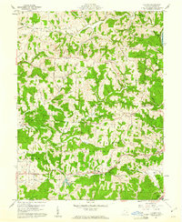 1960 Fleming1961 Print · USGSWashington County at the start of the 1960s shows a landscape of ridge-top farms and active energy extraction. Local historians can trace family roots at Deming Cem and Churchtown, or follow the B & O Railroad past the Tunnel at McAvan.3 unique versions available
 - 1961 Map of Clarksburg
 1961 Clarksburg1961 Print · USGSThe mid-century industrial and river landscapes of West Virginia and Ohio are detailed here, centered on the Ohio River. Researchers can trace the Baltimore and Ohio rail lines connecting towns like Parkersburg, Clarksburg, and Monongah.
 - 1981 Map of Parkersburg, 1984 Print
 1981 Parkersburg1984 Print · USGSThe Ohio River valley at the start of the 1980s reveals a landscape shaped by river commerce and the rail networks of the Baltimore and Ohio RR. Genealogists and historians can trace the development of riverfront communities like Parkersburg, Marietta, and Williamstown, alongside rural landmarks like Blennerhassett Island and Elizabeth.
 - 1988 Map of Clarksburg, 1989 Print
 1988 Clarksburg1989 Print · USGSThe central Appalachians are documented in detail during the late eighties, showing the industrial and river-based economies of West Virginia, Ohio, and Pennsylvania. Researchers can trace historic rail routes like the B & O RR and locate river towns from St Marys to Parkersburg.
 - 1994 Map of Fleming, 1998 Print
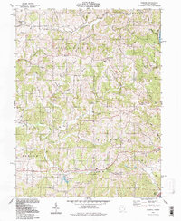 1994 Fleming1998 Print · USGSWashington County during the late twentieth century maintains its rural character even as energy extraction intensifies across the ridges. Genealogists and local historians can trace family locations near the Covered Bridge on Horse Run or explore church records from St John Ch and Pleasant Grove Ch.
 - 2010 Map of Fleming, 2010 Print
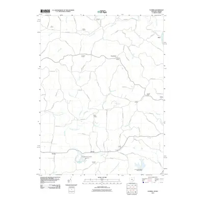 2010 Fleming2010 Print · USGSLocust Fork and Churchtown are seen here in the early twenty-first century, a landscape defined by its deep genealogical roots and rural stream valleys. Researchers can trace numerous family burial grounds including Brabham Cemetery and Henry Cemetery, or locate landmarks like McAvan and Goodfellows Park.
 - 2013 Map of Fleming, 2013 Print
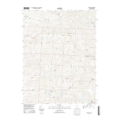 2013 Fleming2013 Print · USGSWashington County ridge-top communities are documented here in 2013, showing the lasting settlement patterns of the Ohio river country. Genealogists can locate several historic burial sites, including Churchtown Cem, Warren Chapel Cem, and Tunnel Cem.
 - 2016 Map of Fleming, 2016 Print
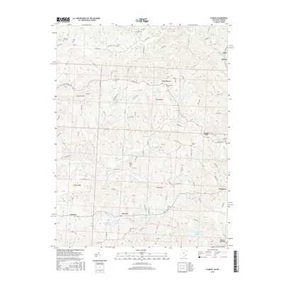 2016 Fleming2016 Print · USGSWashington County, Ohio, remains a landscape of deep-rooted rural communities and river commerce in this 2010s survey. Genealogists and local historians can trace family locations through numerous named sites like Churchtown Cem, McAvan, and Warren Chapel Cem.
 - 2019 Map of Fleming, 2019 Print
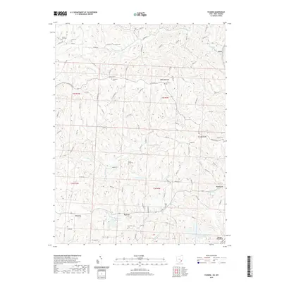 2019 Fleming2019 Print · USGSWashington County settlement patterns and creek-side hamlets are visible in this detailed study of the Ohio landscape. Researchers can locate numerous family and parish burial grounds like Saint John Cem and Brabham Cem near Churchtown.
 - 2023 Map of Fleming, 2023 Print
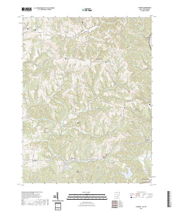 2023 Fleming2023 Print · USGSWashington County ridge-and-valley settlements are documented here in the early 2020s. Researchers can locate numerous historic burial sites like Tunnel Cem and Brabham Cem or trace the rural routes connecting Churchtown and Locust Fork.
End of results
Showing maps 1-14 of 14
Top cities near Fleming
- Parkersburg historical maps
- Marietta historical maps
- Vienna historical maps
- Belpre historical maps
- Waterford historical maps
- Blennerhassett historical maps
See more
Frequently asked questions
- What are the different types of historical maps available for Fleming?
- What is the oldest map of Fleming?
- Where can I purchase historical maps of Fleming for my home or office?
- Where can I download high-res historical maps of Fleming?
- Are there historical topographic maps available for Fleming?
- Is there historical aerial imagery available for Fleming?
- Where are historical maps of Fleming sourced from?