Old Maps of Wolf Creek, Ohio for Metal Detecting
Plan your next treasure hunt with 14 historic maps of Wolf Creek. Find old homesites, ghost towns, trails, and gathering spots that may be lost to time — perfect for identifying promising metal detecting locations.
- Locate forgotten sites: Uncover places like long-lost settlements, abandoned rail lines, or gathering spots.
- Plan better hunts: Use map overlays combined with LiDAR or satellite views to narrow in on historically rich areas.
- Made for detectorists: Thousands of hobbyists use these maps to discover relics, coins, and hidden history.
Use these historic maps to boost your research and find new opportunities beneath the surface of Wolf Creek.
Wolf Creek, OH maps
(14)- 1902 Map of Parkersburg
 1902 Parkersburg1902 Print · USGSThe river-and-rail corridor between Ohio and West Virginia comes alive at the dawn of the twentieth century. Researchers can trace the early footprints of Parkersburg and Vienna, the sprawling Blennerhassett Island, and the old rail lines at Belpre.
 - 1904 Map of Parkersburg
 1904 Parkersburg1904 Print · USGSThe riverfront economies of Wood County and Washington County meet at the turn of the century where the Muskingum and Ohio rivers converge. Researchers can trace the early rail networks of the Baltimore and Ohio R.R. and locate family-named settlements like Gravelbank, Center Belpre, and Vincent.5 unique versions available
 - 1949 Map of Clarksburg
 1949 Clarksburg1949 Print · USGSThe upper Ohio River valley and the industrial heart of West Virginia come into focus during this post-war period. Genealogists and researchers can trace the rail corridors of the Baltimore and Ohio and locate centers like Fairmont, Grafton, and Waynesburg.
 - 1956 Map of Clarksburg, 1966 Print
 1956 Clarksburg1966 Print · USGSThe Ohio River valley and the industrial heart of West Virginia are seen here in the mid-1950s as rail and river commerce thrived. Researchers can trace historic transport lines like the Baltimore and Ohio RR and locate ancestral homes in Clarksburg, Moundsville, or Parkersburg.2 unique versions available
 - 1960 Map of Watertown, 1961 Print
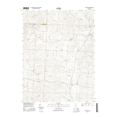
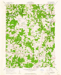 1960 Watertown1961 Print · USGSSoutheastern Ohio's rural landscape is documented here in the early sixties, showing a region defined by agricultural life and active energy extraction. Genealogists can locate family landmarks like Stanley Cemetery, Oak Hill Church, and the schools serving Barlow and Vincent.3 unique versions available
 - 1961 Map of Clarksburg
 1961 Clarksburg1961 Print · USGSThe mid-century industrial and river landscapes of West Virginia and Ohio are detailed here, centered on the Ohio River. Researchers can trace the Baltimore and Ohio rail lines connecting towns like Parkersburg, Clarksburg, and Monongah.
 - 1981 Map of Parkersburg, 1984 Print
 1981 Parkersburg1984 Print · USGSThe Ohio River valley at the start of the 1980s reveals a landscape shaped by river commerce and the rail networks of the Baltimore and Ohio RR. Genealogists and historians can trace the development of riverfront communities like Parkersburg, Marietta, and Williamstown, alongside rural landmarks like Blennerhassett Island and Elizabeth.
 - 1988 Map of Clarksburg, 1989 Print
 1988 Clarksburg1989 Print · USGSThe central Appalachians are documented in detail during the late eighties, showing the industrial and river-based economies of West Virginia, Ohio, and Pennsylvania. Researchers can trace historic rail routes like the B & O RR and locate river towns from St Marys to Parkersburg.
 - 1994 Map of Watertown, 1998 Print
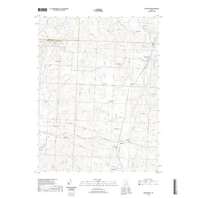
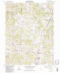 1994 Watertown1998 Print · USGSWestern Washington County's rural character remains centered on the Wolf Creek valley during the late twentieth century. Genealogists and historians can trace family locations through landmarks like Oak Hill Ch, Stanley Cem, and the Old Railroad Grade.
 - 2010 Map of Watertown, 2010 Print
 2010 Watertown2010 Print · USGSCovers Wolf Creek, including Barlow, Watertown, and other nearby areas
 - 2013 Map of Watertown, 2013 Print
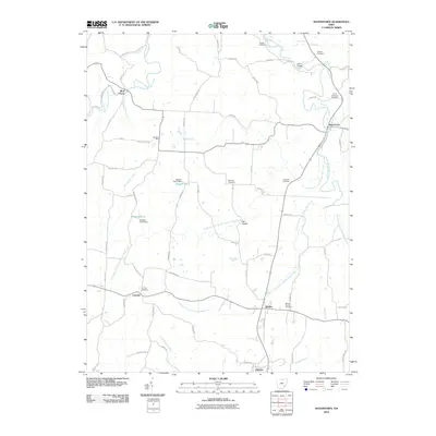
 2013 Watertown2013 Print · USGSCovers Wolf Creek, including Barlow, Watertown, and other nearby areas
 - 2016 Map of Watertown, 2016 Print
 2016 Watertown2016 Print · USGSCovers Wolf Creek, including Barlow, Watertown, and other nearby areas
 - 2019 Map of Watertown, 2019 Print
 2019 Watertown2019 Print · USGSCovers Wolf Creek, including Barlow, Watertown, and other nearby areas
 - 2023 Map of Watertown, 2023 Print
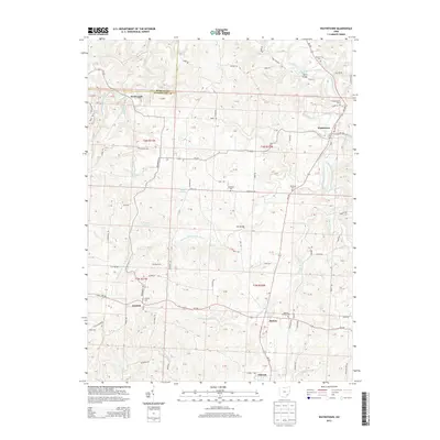
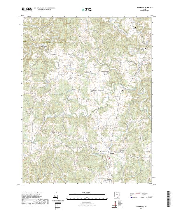 2023 Watertown2023 Print · USGSWashington County settlement patterns are on full display in this modern survey of the Watertown area. Genealogists can locate several family and community burial grounds like Stanley Cem and Murdock Cem, or trace the rural crossroads of Layman and Barlow.
End of results
Showing maps 1-14 of 14
Top cities near Wolf Creek
- Parkersburg historical maps
- Vienna historical maps
- Belpre historical maps
- Waterford historical maps
- Blennerhassett historical maps
- Dunham historical maps
See more
Frequently asked questions
- What are the different types of historical maps available for Wolf Creek?
- What is the oldest map of Wolf Creek?
- Where can I purchase historical maps of Wolf Creek for my home or office?
- Where can I download high-res historical maps of Wolf Creek?
- Are there historical topographic maps available for Wolf Creek?
- Is there historical aerial imagery available for Wolf Creek?
- Where are historical maps of Wolf Creek sourced from?