Old Maps of Congress Township, Ohio for Academic Research
Study the evolution of Congress Township with 33 high-resolution historic maps. Whether you're teaching, researching, or modeling changes in land use, these maps provide essential visual documentation of urban, environmental, and geographic change.
- Analyze long-term change: Track patterns in development, transportation, and natural features.
- Ideal for environmental or urban studies: Support academic projects with primary historical map data.
- Use in the classroom or lab: Educators and researchers rely on these maps to bring historical context to life.
These maps are a powerful tool for teaching, research, and visualizing how Congress Township has changed over the decades.
Congress Township, OH maps
(33)- 1901 Map of Wooster, 1961 Print
 1901 Wooster1961 Print · USGSWayne County was a bustling corridor of rail and agriculture at the turn of the century, dominated by the growth of Wooster and Orrville. Researchers can trace historic institutions like Wooster University or locate the Mennonite Home and State Experiment Station.
 - 1903 Map of Wooster, 1938 Print
 1903 Wooster1938 Print · USGSWayne County is shown at the height of its early rail-and-river economy, with every township and rural hamlet meticulously plotted. Researchers can trace historic landmarks like Wooster University, the Mennonite Home, and the State Experiment Station as they appeared just after the turn of the century.2 unique versions available
 - 1906 Map of West Salem, 1961 Print
 1906 West Salem1961 Print · USGSIn the early 1900s, this area of Northern Ohio was a web of small rail-side settlements and rural townships. Genealogists and historians can trace old homesteads and local landmarks like the Eight Square Ch, the village of Jeromesville, and the Mohicanville Reservoir.
 - 1908 Map of West Salem, 1946 Print
 1908 West Salem1946 Print · USGSNorth Central Ohio's rural landscape is captured here in the early twentieth century, showing the transition from early surveying reserves to a rail-connected farm economy. Researchers can locate early township centers and rail stops like Polk, Congress, and Eight Square Ch.
 - 1950 Map of Marion
 1950 Marion1950 Print · USGSCentral Ohio was a powerhouse of rail and river industry at the mid-century point, serving as a vital corridor between the Great Lakes and the Ohio River valley. Genealogists and rail historians can trace the paths of the Erie RR and Nickel Plate Road through towns like Bucyrus, Galion, and Upper Sandusky.
 - 1951 Map of Canton
 1951 Canton1951 Print · USGSThe industrial heartland of Ohio and Pennsylvania reached its mid-century peak during this era of heavy rail and river transit. Genealogists and historians can trace the development of steel towns like Aliquippa and Weirton alongside the Ohio River and major lines of the Pennsylvania RR.
 - 1953 Map of Canton
 1953 Canton1953 Print · USGSThe industrial heartland of Ohio and Pennsylvania is captured at its mid-century peak in this detailed regional survey. Genealogists and historians can trace the vast rail networks of the Pennsylvania RR and find local landmarks like Nimisila Reservoir and Tappan Reservoir.
 - 1957 Map of Canton, 1971 Print
 1957 Canton1971 Print · USGSThe industrial heartland of eastern Ohio and western Pennsylvania comes alive in this mid-century survey of the Ohio River Valley. Trace the heritage of rail and river commerce through Pittsburgh, the massive steel towns along the Ohio River, and major junctions on the Pennsylvania RR.3 unique versions available
 - 1961 Map of West Salem, 1962 Print
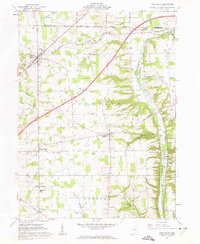 1961 West Salem1962 Print · USGSWayne County farmland at the start of the sixties reveals a landscape shaped by historic land grants and early rail lines. Genealogists can trace family roots through numerous sites like Warners-Congress Cem, Fairhaven Ch, and the Burbank Station.2 unique versions available
 - 1961 Map of Creston, 1962 Print
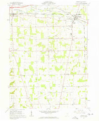 1961 Creston1962 Print · USGSWayne and Medina counties are seen here in the early sixties, showing a landscape defined by busy rail junctions and small farming townships. Genealogists can locate Maple Mound Cem, the County Home for the Aged, and Canaan Center Cem.3 unique versions available
 - 1961 Map of Polk, 1963 Print
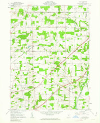 1961 Polk1963 Print · USGSAshland County farmland is documented here in the early sixties, showing the transition from traditional rail commerce to modern highway travel. Genealogists can locate Albion Cem, St Johns Ch, and the rural settlement of Redhaw near the Muddy Fork.3 unique versions available
 - 1962 Map of Marion
 1962 Marion1962 Print · USGSCentral Ohio during the post-war era showcases a dense network of railroad towns and emerging interstate highways. Genealogists can trace family roots in smaller settlements like Houcktown and Marseilles or locate landmarks near Indian Lake.
 - 1962 Map of Canton
 1962 Canton1962 Print · USGSThe industrial heartland of Eastern Ohio and Western Pennsylvania thrives in the early sixties as steel mills and rail lines dominate the river valleys. Genealogists and historians can trace local landmarks like McKinley National Memorial, Malone College, and industrial sites such as Republic Steel Corp.2 unique versions available
 - 1966 Map of Marion, 1968 Print
 1966 Marion1968 Print · USGSCentral Ohio in the mid-sixties is captured during a period of rapid highway expansion and industrial connectivity. Genealogists and historians can trace rail-and-river networks through towns like Marion, Urbana, and Mount Vernon, or locate landmarks such as Malabar Farm and Black Hand Rock.3 unique versions available
 - 1986 Map of Mansfield
 1986 Mansfield1986 Print · USGSNorth-central Ohio in the mid-eighties shows a landscape of industrial towns and large-scale water management projects. Researchers can trace historic sites like the Mansfield Reformatory, Malabar Farm State Park, and the racing grounds at Mid-Ohio Race Course.
 - 1986 Map of Canton
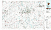 1986 Canton1986 Print · USGSNortheastern Ohio’s industrial corridor and rural heartland are captured here in the mid-1980s as the region's rail and highway networks reached their modern form. Researchers can trace the layout of Canton and Massillon, locate family sites near West Lawn Cemetery, or explore the grounds of Malone College and Walsh College.2 unique versions available
 - 1994 Map of Mansfield
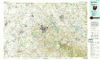 1994 Mansfield1994 Print · USGSThe Mansfield and Ashland corridor of the 1990s reveals a landscape of industrial rail junctions and extensive state forests. You can trace the drainage of the Mohican River through reservoirs like Charles Mill Lake or locate sites such as Malabar Farm State Park.
 - 1994 Map of Creston, 1997 Print
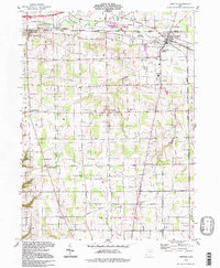 1994 Creston1997 Print · USGSWayne and Medina Counties at the mid-century mark reveal a landscape shaped by rail junctions and small crossroads settlements. Genealogists and historians can trace family locations through Creston and Burbank, or find significant sites like the County Home for the Aged and Barton Cem.
 - 2010 Map of Polk, 2010 Print
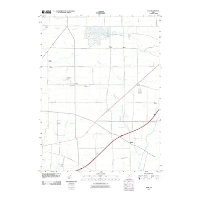 2010 Polk2010 Print · USGSJackson Township at the start of the decade shows a landscape of established farmsteads and the growing lakeside community at Cinnamon Lake. Genealogists can locate family burial sites at Swope Cemetery and Chilcote Cemetery or trace the early paths of Muddy Fork.
 - 2010 Map of Creston, 2010 Print
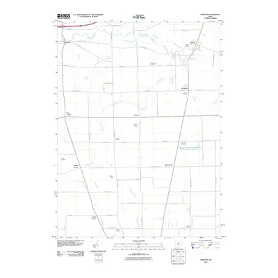 2010 Creston2010 Print · USGSWayne County agriculture and settlement patterns are preserved here as they appeared in the early twenty-first century. Genealogists can locate family landmarks like Wayne Presbyterian Cemetery, Cupps Cemetery, and the village of Canaan.
 - 2010 Map of West Salem, 2010 Print
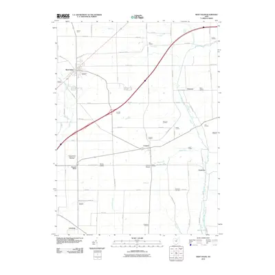 2010 West Salem2010 Print · USGSWayne County’s agricultural heartland is documented here in the early 2000s, centered on the village of West Salem and the waters of Killbuck Creek. Genealogists can trace family roots at numerous burial sites, including Saint Josephs Cemetery and Warners-Congress Cemetery.
 - 2013 Map of Polk, 2013 Print
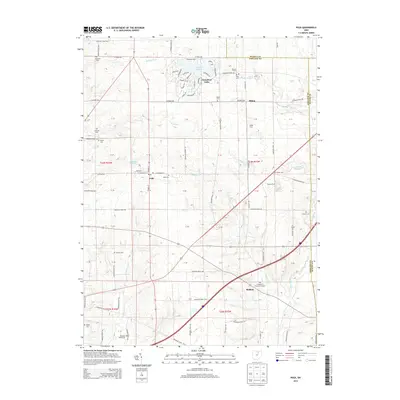 2013 Polk2013 Print · USGSNorth-central Ohio farmland near the borders of Medina and Wayne counties is documented here in the early twenty-first century. Genealogists can trace family holdings and heritage at France Farms or locate several historic burial grounds including Chilcote Cem and Swope Cem.
 - 2013 Map of West Salem, 2013 Print
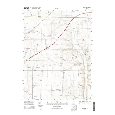 2013 West Salem2013 Print · USGSNorthwestern Wayne County in the early twenty-first century reveals a landscape of enduring family farms and historic burial grounds. Genealogists and researchers can trace local roots at Saint Josephs Cem, Van Cleve Cem, and the old crossroads of Lattasburg.
 - 2013 Map of Creston, 2013 Print
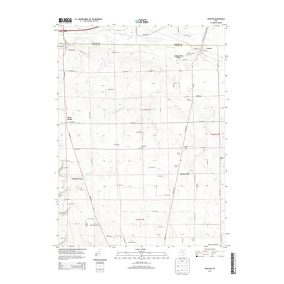 2013 Creston2013 Print · USGSWayne County farmsteads and rural townships are captured in detail during the early twenty-first century. Local historians can locate specific family lands like McLaughlin Farms or search for ancestral records at Maple Mound Cem and Canaan Bend Cem.
 - 2016 Map of Polk, 2016 Print
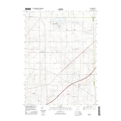 2016 Polk2016 Print · USGSAshland County farmland meets a complex network of creeks and small settlements in this recent survey. Local history researchers can trace numerous family and community burial grounds, including Rickle Cem, Polk Cem, and the Evangelical Church Graveyard.
Showing maps 1-25 of 33
Top cities near Congress Township
- Wooster historical maps
- Medina historical maps
- Ashland historical maps
- Wellington historical maps
- Litchfield historical maps
- Lodi historical maps
See more
Top neighborhoods of Congress Township
- Armstrong historical maps
- Aukerman historical maps
- Pleasant Home historical maps
- West Salem historical maps
- Congress historical maps
Frequently asked questions
- What are the different types of historical maps available for Congress Township?
- What is the oldest map of Congress Township?
- Where can I purchase historical maps of Congress Township for my home or office?
- Where can I download high-res historical maps of Congress Township?
- Are there historical topographic maps available for Congress Township?
- Is there historical aerial imagery available for Congress Township?
- Where are historical maps of Congress Township sourced from?