Old Maps of Hille Farms, Millbury for Academic Research
Study the evolution of Hille Farms with 14 high-resolution historic maps. Whether you're teaching, researching, or modeling changes in land use, these maps provide essential visual documentation of urban, environmental, and geographic change.
- Analyze long-term change: Track patterns in development, transportation, and natural features.
- Ideal for environmental or urban studies: Support academic projects with primary historical map data.
- Use in the classroom or lab: Educators and researchers rely on these maps to bring historical context to life.
These maps are a powerful tool for teaching, research, and visualizing how Hille Farms has changed over the decades.
Hille Farms, Millbury maps
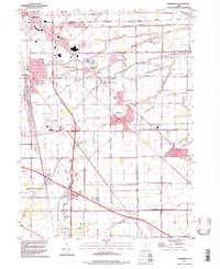
(14)- 1900 Map of Maumee Bay, 1921 Print
 1900 Maumee Bay1921 Print · USGSNorthwest Ohio and the Lake Erie shoreline are shown here just as the regions rail and energy sectors were maturing. Genealogists and historians can locate vanished post offices at Shepardsville Bono P. O. and trace early industrial sites like the Oil Wells and Coke Ovens near Curtice.2 unique versions available
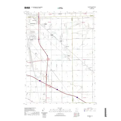
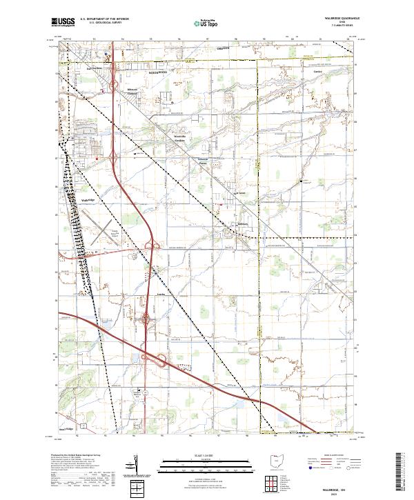
 - 1935 Map of Walbridge
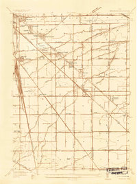 1935 Walbridge1935 Print · USGSThe rail-and-road corridors of Northwest Ohio come alive in this mid-1930s survey of the Walbridge and Millbury area. Genealogists and researchers can pinpoint family landmarks like Hayes Place, the Black Swamp Ch, and early aviation at the Toledo Landing Field.
 - 1938 Map of Walbridge
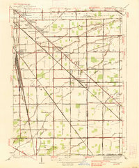 1938 Walbridge1938 Print · USGSNorthwest Ohio at the height of its rail-and-road expansion shows a landscape defined by industrial hubs and developing neighborhoods. Genealogists and historians can trace family locations near Walbridge Yard, Millbury, and rural landmarks like the Allen Cem.2 unique versions available
 - 1952 Map of Walbridge, 1953 Print
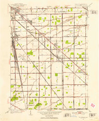 1952 Walbridge1953 Print · USGSThe rural landscapes and rail hubs south of Toledo are captured here in the early fifties, showing the area's transition into a modern industrial corridor. Genealogists and historians can trace family roots at Lake Cem, Mound View, and the long-standing Black Swamp Ch.
 - 1956 Map of Toledo, 1968 Print
 1956 Toledo1968 Print · USGSNorthwest Ohio and the Lake Erie shoreline are shown in detail during the late fifties, showcasing a landscape of heavy industry, railroads, and island communities. Genealogists and historians can trace rail networks like the Chesapeake & Ohio RR or locate landmarks such as the Erie Proving Ground and Kelleys Island.4 unique versions available
 - 1961 Map of Toledo
 1961 Toledo1961 Print · USGSThe western basin of Lake Erie and the industrial heart of Northern Ohio are captured here during the post-war era. Researchers can trace historical rail lines like the New York Central or locate landmarks like the Erie Ordnance Depot and Pelee Island.
 - 1965 Map of Walbridge, 1966 Print
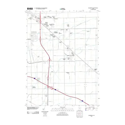
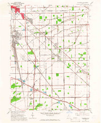 1965 Walbridge1966 Print · USGSSoutheast of Toledo in the mid-sixties, this region reveals a massive intersection of midwestern rail lines and the maturing interstate system. Researchers can trace the layout of Walbridge, locate Lake Cem, and see the early footprint of the Toledo Airport.3 unique versions available
 - 1986 Map of Toledo
 1986 Toledo1986 Print · USGSGreater Toledo and the Lake Erie shoreline are captured here in the mid-eighties, showcasing a massive network of industrial waterways and rail lines. You can trace the path of the Maumee River past Rossford or explore the conservation lands at Ottawa National Wildlife Refuge.2 unique versions available
 - 1994 Map of Walbridge, 1998 Print
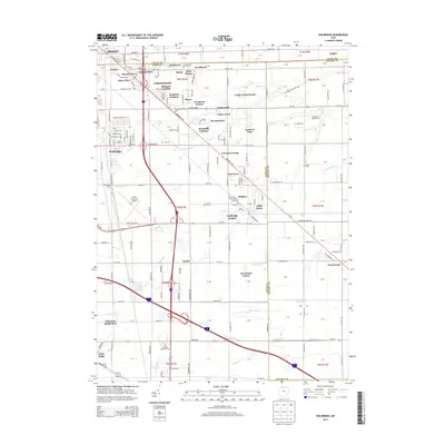
 1994 Walbridge1998 Print · USGSWood County and Lucas County geography in the 1990s reveals a landscape shaped by massive rail yards and the Ohio Turnpike. Trace local history at Millbury, Zion Ch, and the extensive Walbridge Yard during this era of regional growth.
 - 2010 Map of Walbridge, 2010 Print
 2010 Walbridge2010 Print · USGSCovers Hille Farms, including Oregon, Northwood, and other nearby areas
 - 2013 Map of Walbridge, 2013 Print
 2013 Walbridge2013 Print · USGSCovers Hille Farms, including Oregon, Northwood, and other nearby areas
 - 2016 Map of Walbridge, 2016 Print
 2016 Walbridge2016 Print · USGSCovers Hille Farms, including Oregon, Northwood, and other nearby areas
 - 2019 Map of Walbridge, 2019 Print
 2019 Walbridge2019 Print · USGSCovers Hille Farms, including Oregon, Northwood, and other nearby areas
 - 2023 Map of Walbridge, 2023 Print
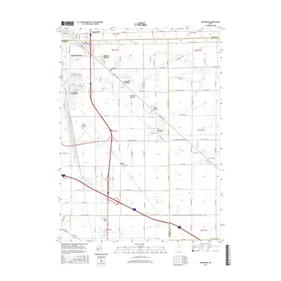
 2023 Walbridge2023 Print · USGSThe Wood County suburbs and transit corridors east of Toledo are captured here in the early 2020s. Researchers can trace the layout of Walbridge and Millbury, or find family sites at Lake Cem and Restlawn Memorial Park.
End of results
Showing maps 1-14 of 14
Top cities near Hille Farms
- Toledo historical maps
- Bedford Township historical maps
- Bowling Green historical maps
- Perrysburg historical maps
- Oregon historical maps
- Maumee historical maps
See more
Frequently asked questions
- What are the different types of historical maps available for Hille Farms?
- What is the oldest map of Hille Farms?
- Where can I purchase historical maps of Hille Farms for my home or office?
- Where can I download high-res historical maps of Hille Farms?
- Are there historical topographic maps available for Hille Farms?
- Is there historical aerial imagery available for Hille Farms?
- Where are historical maps of Hille Farms sourced from?