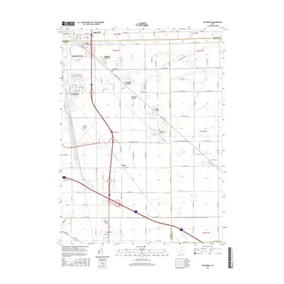
2016 Map of Walbridge
USGS Topo · Published 2016About this map
Toledo Executive Airport serves as a central landmark in this landscape where the suburbs of Northwood and Oregon meet the flat agricultural reaches of Wood and Ottawa counties. The mapping of this corridor reveals a dense network of residential subdivisions and named tracts such as Biltmore Gardens, Woodville Gardens, and East Gardens, illustrating the transition from township lots to modern residential development. Small historic centers like Walbridge, Millbury, and Latcha anchor the rural roads, many of which still follow original section lines. Genealogists will find three distinct burial sites, including the Lake Cem and Allen Cem, while the course of Crane Cr and Packer Cr suggests the natural drainage patterns that have historically shaped local land use and boundary lines between the neighboring counties.
Find a feature on this map
65 named features on this map. Tap any name to fly to it.
Don’t see what you’re looking for? This feature index may not catch every label — zoom into the map to look around manually.
Map Details
Editions of this 2016 Walbridge Map
This is the sole edition of this map. No revisions or reprints were ever made.
Other maps of this area

1900 · Maumee Bay
USGS Topo · 1:62,500

1900 · Toledo
USGS Topo · 1:62,500

1901 · Bowling Green
USGS Topo · 1:62,500

1901 · Elmore
USGS Topo · 1:62,500

1903 · Bowling Green
USGS Topo · 1:62,500

1903 · Elmore
USGS Topo · 1:62,500

1934 · Reno Beach
USGS Topo · 1:24,000

1934 · Point Place
USGS Topo · 1:24,000

1934 · Rossford
USGS Topo · 1:24,000

1935 · Walbridge
USGS Topo · 1:24,000