Old Maps of Crane Township, Ohio for Academic Research
Study the evolution of Crane Township with 30 high-resolution historic maps. Whether you're teaching, researching, or modeling changes in land use, these maps provide essential visual documentation of urban, environmental, and geographic change.
- Analyze long-term change: Track patterns in development, transportation, and natural features.
- Ideal for environmental or urban studies: Support academic projects with primary historical map data.
- Use in the classroom or lab: Educators and researchers rely on these maps to bring historical context to life.
These maps are a powerful tool for teaching, research, and visualizing how Crane Township has changed over the decades.
Crane Township, OH maps
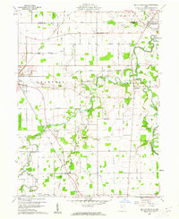
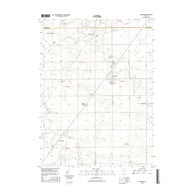
(30)- 1906 Map of Sycamore, 1932 Print
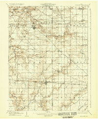 1906 Sycamore1932 Print · USGSThe rural heart of north-central Ohio is captured here at the height of its steam-rail era. Genealogists and local historians can trace family locations near Sycamore, Nevada, and Belle Vernon, or locate landmarks like Oakgrove School and the Rock Run Church.
 - 1907 Map of Upper Sandusky, 1943 Print
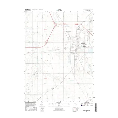
 1907 Upper Sandusky1943 Print · USGSWyandot County at the dawn of the twentieth century was a landscape of thriving rail junctions and dispersed rural school districts. Genealogists and local historians can trace the exact locations of family landmarks like Grace Chapel, the Indian Mill, and numerous rural schools from Moody School to Hendricks School 24.
 - 1950 Map of Marion
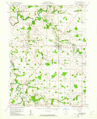
 1950 Marion1950 Print · USGSCentral Ohio was a powerhouse of rail and river industry at the mid-century point, serving as a vital corridor between the Great Lakes and the Ohio River valley. Genealogists and rail historians can trace the paths of the Erie RR and Nickel Plate Road through towns like Bucyrus, Galion, and Upper Sandusky.
 - 1960 Map of Sycamore, 1961 Print
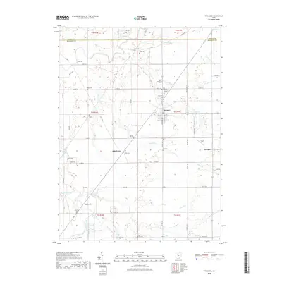
 1960 Sycamore1961 Print · USGSThe crossroads of Wyandot and Seneca Counties are captured here in 1960, showing a landscape still defined by rail lines and old treaty lines. Trace the Old Indian Treaty Boundary and find rural landmarks like Quaker Hill Cem and Parker Bridge.3 unique versions available
 - 1960 Map of Nevada, 1961 Print
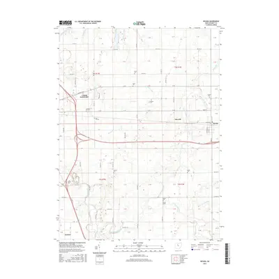
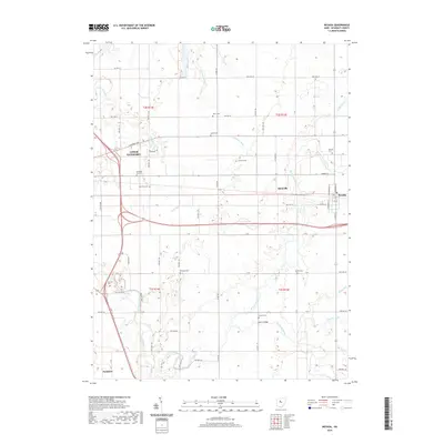
 1960 Nevada1961 Print · USGSWyandot County farmland is captured here in the early sixties, showing the vital rail-and-river network of the era. Genealogists can trace family roots through numerous burial sites like Old Rock Run Cem, find the Covered Bridge, or locate Eden Sch.4 unique versions available
 - 1960 Map of Upper Sandusky, 1962 Print
 1960 Upper Sandusky1962 Print · USGSUpper Sandusky flourished as a railroad and river hub in the early sixties, anchored by the Sandusky River. Genealogists and historians can trace the town's growth through several schools, the Indian Mill, and burial grounds like Oak Hill Cemetery and Mission Cem.2 unique versions available
 - 1960 Map of Mc Cutchenville, 1962 Print
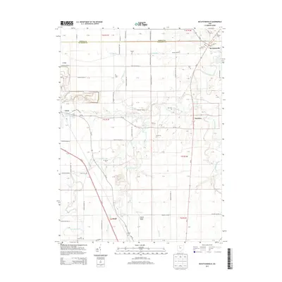
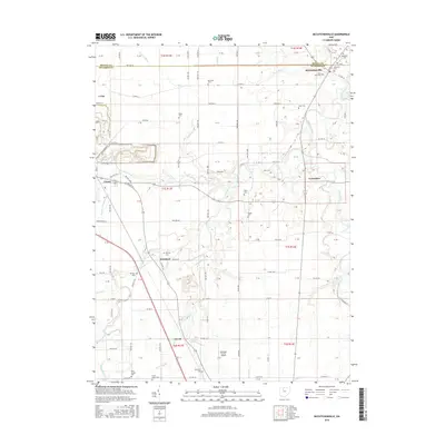
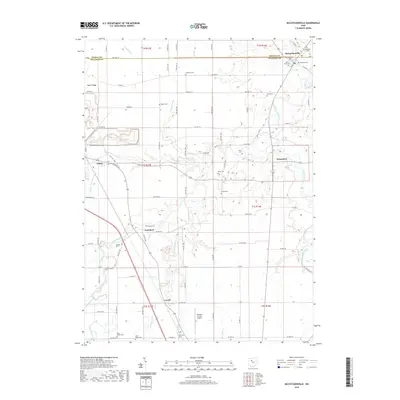
 1960 Mc Cutchenville1962 Print · USGSWyandot County at the start of the 1960s shows a landscape of steady agricultural life bounded by the Old Indian Treaty Boundary. Genealogists can locate family landmarks like Knowlton Cem and Baker Cem or trace the early paths of the New York Central railroad.2 unique versions available
 - 1962 Map of Marion
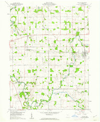
 1962 Marion1962 Print · USGSCentral Ohio during the post-war era showcases a dense network of railroad towns and emerging interstate highways. Genealogists can trace family roots in smaller settlements like Houcktown and Marseilles or locate landmarks near Indian Lake.
 - 1966 Map of Marion, 1968 Print
 1966 Marion1968 Print · USGSCentral Ohio in the mid-sixties is captured during a period of rapid highway expansion and industrial connectivity. Genealogists and historians can trace rail-and-river networks through towns like Marion, Urbana, and Mount Vernon, or locate landmarks such as Malabar Farm and Black Hand Rock.3 unique versions available
 - 1986 Map of Marion
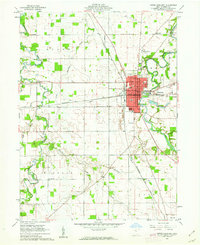
 1986 Marion1986 Print · USGSNorthwest Ohio's agricultural and rail heartland is captured here in the mid-1980s, centered on the expansion of Marion and Kenton. Genealogists can trace family footprints near Bluffton College, old rail stops like Dola, and landmarks such as Indian Lake State Park.2 unique versions available
 - 2010 Map of Upper Sandusky, 2010 Print
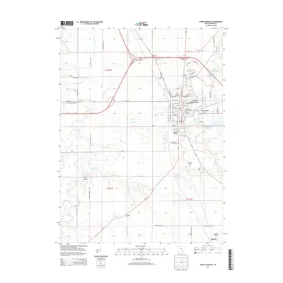
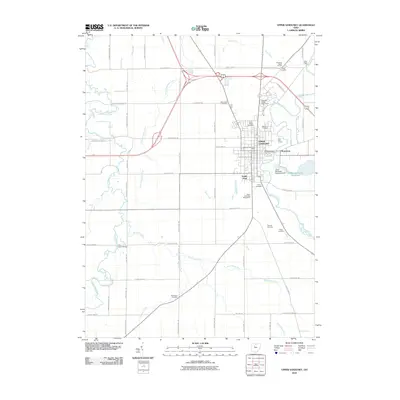 2010 Upper Sandusky2010 Print · USGSCovers Crane Township, including Upper Sandusky, Harpster, and other nearby areas
 - 2010 Map of Sycamore, 2010 Print
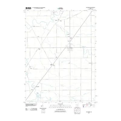 2010 Sycamore2010 Print · USGSCovers Crane Township, including Sycamore, Tymochtee Township, and other nearby areas
 - 2010 Map of McCutchenville, 2010 Print
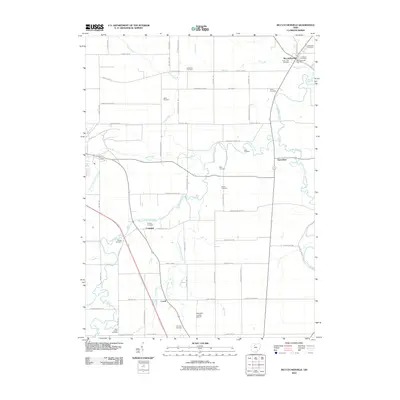 2010 McCutchenville2010 Print · USGSCovers Crane Township, including Crawford, Carey, and other nearby areas
 - 2010 Map of Nevada, 2010 Print
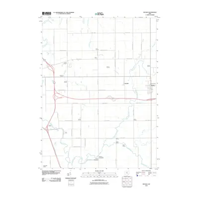 2010 Nevada2010 Print · USGSCovers Crane Township, including Upper Sandusky, Nevada, and other nearby areas
 - 2013 Map of Nevada, 2013 Print
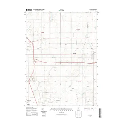 2013 Nevada2013 Print · USGSCovers Crane Township, including Upper Sandusky, Nevada, and other nearby areas
 - 2013 Map of Upper Sandusky, 2013 Print
 2013 Upper Sandusky2013 Print · USGSCovers Crane Township, including Upper Sandusky, Harpster, and other nearby areas
 - 2013 Map of Sycamore, 2013 Print
 2013 Sycamore2013 Print · USGSCovers Crane Township, including Sycamore, Tymochtee Township, and other nearby areas
 - 2013 Map of McCutchenville, 2013 Print
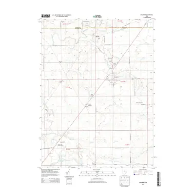
 2013 McCutchenville2013 Print · USGSCovers Crane Township, including Crawford, Carey, and other nearby areas
 - 2016 Map of Upper Sandusky, 2016 Print
 2016 Upper Sandusky2016 Print · USGSCovers Crane Township, including Upper Sandusky, Harpster, and other nearby areas
 - 2016 Map of Nevada, 2016 Print
 2016 Nevada2016 Print · USGSCovers Crane Township, including Upper Sandusky, Nevada, and other nearby areas
 - 2016 Map of McCutchenville, 2016 Print
 2016 McCutchenville2016 Print · USGSCovers Crane Township, including Crawford, Carey, and other nearby areas
 - 2016 Map of Sycamore, 2016 Print
 2016 Sycamore2016 Print · USGSCovers Crane Township, including Sycamore, Tymochtee Township, and other nearby areas
 - 2019 Map of McCutchenville, 2019 Print
 2019 McCutchenville2019 Print · USGSCovers Crane Township, including Crawford, Carey, and other nearby areas
 - 2019 Map of Sycamore, 2019 Print
 2019 Sycamore2019 Print · USGSCovers Crane Township, including Sycamore, Tymochtee Township, and other nearby areas
 - 2019 Map of Nevada, 2019 Print
 2019 Nevada2019 Print · USGSCovers Crane Township, including Upper Sandusky, Nevada, and other nearby areas
Showing maps 1-25 of 30
Top cities near Crane Township
- Marion historical maps
- Upper Sandusky historical maps
- Crawford historical maps
- Carey historical maps
- Tymochtee historical maps
- Bloomville historical maps
See more
Top neighborhoods of Crane Township
Frequently asked questions
- What are the different types of historical maps available for Crane Township?
- What is the oldest map of Crane Township?
- Where can I purchase historical maps of Crane Township for my home or office?
- Where can I download high-res historical maps of Crane Township?
- Are there historical topographic maps available for Crane Township?
- Is there historical aerial imagery available for Crane Township?
- Where are historical maps of Crane Township sourced from?