2000s (21st Century) Maps of Upper Sandusky, Ohio
Explore 10 historic maps of Upper Sandusky from the 2000s (21st Century). These maps offer a rare glimpse into what life looked like during the 2000s — showing old roads, neighborhoods, homes, and landmarks that have changed or disappeared over time.
Whether you're researching your family's past, planning a metal detecting trip, or studying how Upper Sandusky's landscape evolved across the 2000s, these high-resolution maps are a powerful tool for exploring the history of this region.
- Focus on a specific era: All maps on this page are from the 2000s, giving you a focused view of this time period.
- See what’s changed: Compare century-old streets, trails, and buildings to today's modern landscape using overlays and satellite layers.
- Research with precision: Use these maps for genealogy, historical research, land use analysis, or educational projects.
- View, download, or print: Maps are fully viewable online in high resolution, and can be downloaded or printed for your own records.
Start exploring Upper Sandusky's history through authentic maps from the 2000s. This is your window into the past.
Upper Sandusky, OH maps
(10)- 2010 Map of Upper Sandusky, 2010 Print
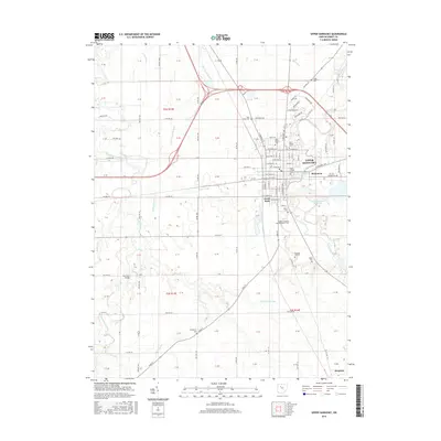
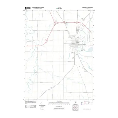 2010 Upper Sandusky2010 Print · USGSCovers Upper Sandusky, including Harpster, Pitt Township, and other nearby areas
 - 2010 Map of Nevada, 2010 Print
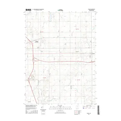
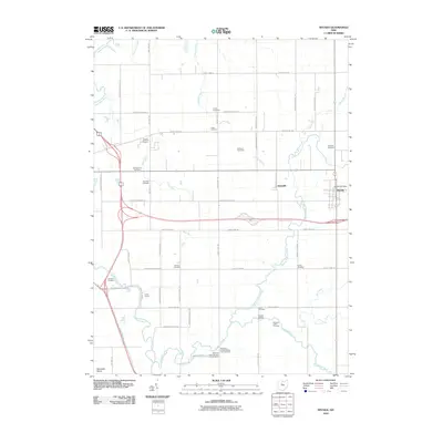 2010 Nevada2010 Print · USGSCovers Upper Sandusky, including Nevada, Harpster, and other nearby areas
 - 2013 Map of Nevada, 2013 Print
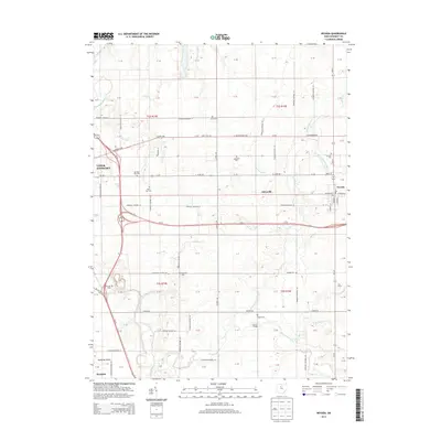 2013 Nevada2013 Print · USGSCovers Upper Sandusky, including Nevada, Harpster, and other nearby areas
 - 2013 Map of Upper Sandusky, 2013 Print
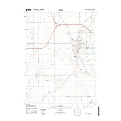 2013 Upper Sandusky2013 Print · USGSCovers Upper Sandusky, including Harpster, Pitt Township, and other nearby areas
 - 2016 Map of Upper Sandusky, 2016 Print
 2016 Upper Sandusky2016 Print · USGSCovers Upper Sandusky, including Harpster, Pitt Township, and other nearby areas
 - 2016 Map of Nevada, 2016 Print
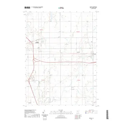
 2016 Nevada2016 Print · USGSCovers Upper Sandusky, including Nevada, Harpster, and other nearby areas
 - 2019 Map of Nevada, 2019 Print
 2019 Nevada2019 Print · USGSCovers Upper Sandusky, including Nevada, Harpster, and other nearby areas
 - 2019 Map of Upper Sandusky, 2019 Print
 2019 Upper Sandusky2019 Print · USGSCovers Upper Sandusky, including Harpster, Pitt Township, and other nearby areas
 - 2023 Map of Upper Sandusky, 2023 Print
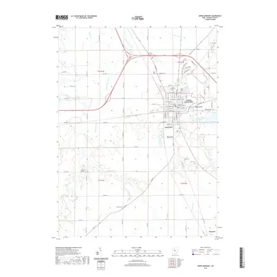
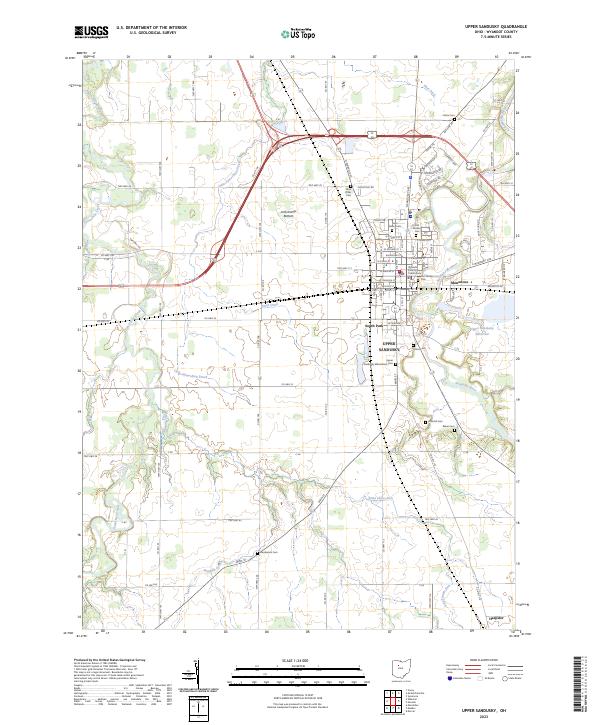 2023 Upper Sandusky2023 Print · USGSUpper Sandusky and the surrounding Wyandot County farmlands are captured here in the early twenty-first century. Genealogists and local historians can trace legacy sites from the Wyandot County Courthouse to several historic burial grounds including Old Mission Cem and Fort Ferree Cem.
 - 2023 Map of Nevada, 2023 Print
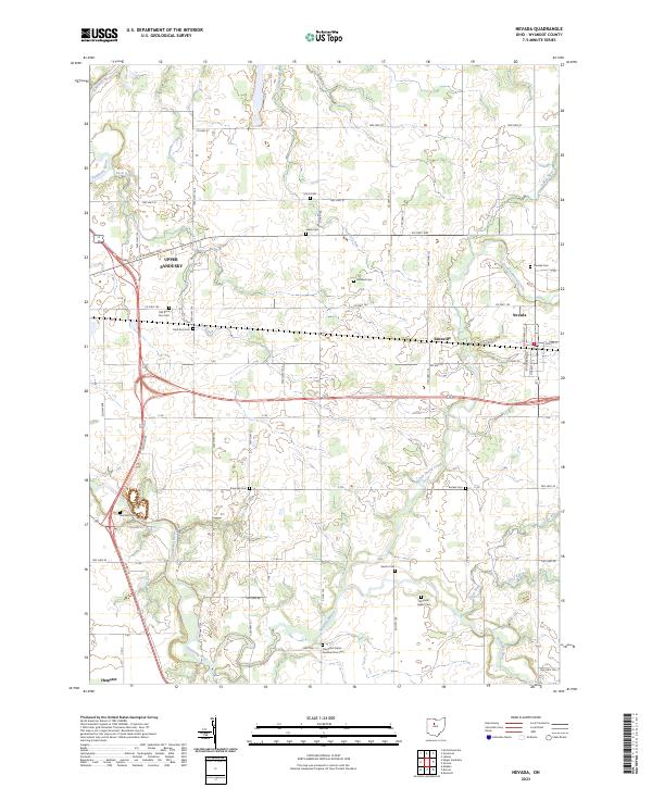 2023 Nevada2023 Print · USGSUpper Sandusky and the surrounding Wyandot County townships are documented here in their modern context. Local historians can trace early settlement roots through numerous sites like Wyandot Indian Cem, Salem Cem, and the village of Nevada.
End of results
Showing maps 1-10 of 10
Top cities near Upper Sandusky
- Marion historical maps
- Crawford historical maps
- Carey historical maps
- Big Island historical maps
- Tymochtee historical maps
- Sycamore historical maps
See more
Top neighborhoods of Upper Sandusky
- Mononcue historical maps
- Parkway Mobile Home Village historical maps
- South Park historical maps
- South Sandusky Avenue Historic District historical maps
Frequently asked questions
- What are the different types of historical maps available for Upper Sandusky?
- What is the oldest map of Upper Sandusky?
- Where can I purchase historical maps of Upper Sandusky for my home or office?
- Where can I download high-res historical maps of Upper Sandusky?
- Are there historical topographic maps available for Upper Sandusky?
- Is there historical aerial imagery available for Upper Sandusky?
- Where are historical maps of Upper Sandusky sourced from?