Old Maps of Greasy, Oklahoma for Academic Research
Study the evolution of Greasy with 14 high-resolution historic maps. Whether you're teaching, researching, or modeling changes in land use, these maps provide essential visual documentation of urban, environmental, and geographic change.
- Analyze long-term change: Track patterns in development, transportation, and natural features.
- Ideal for environmental or urban studies: Support academic projects with primary historical map data.
- Use in the classroom or lab: Educators and researchers rely on these maps to bring historical context to life.
These maps are a powerful tool for teaching, research, and visualizing how Greasy has changed over the decades.
Greasy, OK maps
(14)- 1898 Map of Tahlequah, 1954 Print
 1898 Tahlequah1954 Print · USGSThe Cherokee Nation capital and the surrounding Indian Territory come to life in this survey conducted before Oklahoma statehood. Genealogists can trace family-named landmarks and early institutions like the Female Seminary, Salem Springs, and the Cherokee Insane Asylum.
 - 1901 Map of Tahlequah
 1901 Tahlequah1901 Print · USGSTahlequah and the Cherokee Nation are captured here during the final years of the Indian Territory era. Genealogists can locate family landmarks such as the Female Seminary, Elm Springs Mission, and the rail-stop settlements of Stilwell and Wauhillau.8 unique versions available
 - 1905 Map of Tahlequah
 1905 Tahlequah1905 Print · USGSTahlequah and the surrounding Cherokee Nation are captured here in the years before Oklahoma statehood. Researchers can trace the early rail routes and find historic sites like the Female Seminary, the Cherokee Orphan Asylum, and Elm Springs Mission.
 - 1946 Map of Fort Smith
 1946 Fort Smith1946 Print · USGSThe Arkansas-Oklahoma borderlands appear here in the mid-forties, as new reservoirs began to transform the river valleys. Genealogists and historians can trace rail-served towns from Muskogee to Fort Smith and locate landmarks like Camp Chaffee.
 - 1965 Map of Fort Smith
 1965 Fort Smith1965 Print · USGSEastern Oklahoma and Western Arkansas are captured here during a period of massive post-war change as new reservoirs reshaped the river valleys. Genealogists and historians can trace the rail networks of the Midland Valley RR and find established communities like Stilwell, Sallisaw, and Stigler.
 - 1967 Map of Fort Smith
 1967 Fort Smith1967 Print · USGSThe Arkansas River valley and the foothills of the Ozarks are captured here during a period of significant military and industrial activity. Researchers can trace the sprawling bounds of Camp Chaffee and Camp Gruber or locate vanished rail stops along the Midland Valley RR.
 - 1973 Map of Greasy, 1974 Print
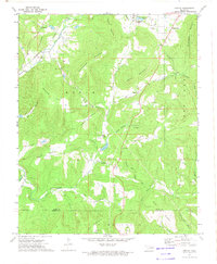 1973 Greasy1974 Print · USGSThe hill country of eastern Oklahoma in the early seventies shows a landscape of secluded hollows and family-named ridges. Genealogists and historians can trace local landmarks like Cherry Tree, the Kansas City Southern railroad, and rural cemeteries including Killer Cem and Chuliawa Cem.2 unique versions available
 - 1978 Map of Fort Smith, 1979 Print
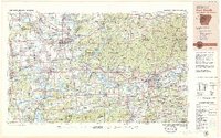 1978 Fort Smith1979 Print · USGSThe Arkansas-Oklahoma borderlands in the late seventies show a landscape shaped by massive river reservoirs and sprawling military reservations. Trace the historic rail lines of the Missouri Pacific RR and locate regional landmarks like Fort Gibson, Tenkiller Ferry Lake, and Barling.2 unique versions available
 - 1978 Map of Stilwell, 1979 Print
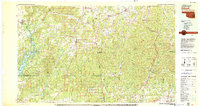 1978 Stilwell1979 Print · USGSThe Oklahoma-Arkansas borderlands come alive in the late seventies, showing the transition from the Cherokee Nation hills to the Arkansas Ozarks. Researchers can trace the Kansas City Southern rail line through Stilwell, find Wrights Chapel, or locate the Northeastern State College campus in Tahlequah.
 - 2010 Map of Greasy, 2010 Print
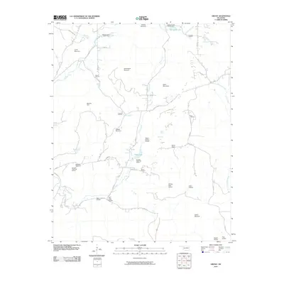 2010 Greasy2010 Print · USGSAdair County’s upland landscape is captured here in the early twenty-first century, showing a rural region shaped by creek drainages and high ridges. Genealogists can locate several family burial sites like Killer Cemetery and Chullawe Cemetery near the waters of Dahlonegah Lake.
 - 2012 Map of Greasy, 2012 Print
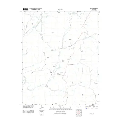 2012 Greasy2012 Print · USGSThe foothills of eastern Oklahoma are captured here in the early twenty-first century, centered on the community of Greasy. Local historians can trace family burial sites like Chuliawe Cem and landmarks such as Dahlonegah Lake and Lyons Mtn.
 - 2016 Map of Greasy, 2016 Print
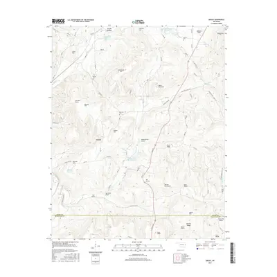 2016 Greasy2016 Print · USGSThe upland terrain of Adair County is captured here in the mid-2010s, showing a landscape of scattered settlements and named hollows. Genealogists can locate several local burial sites such as Chuliawe Cem and Beaver Cem or trace the drainage of Greasy Cr.
 - 2018 Map of Greasy, 2018 Print
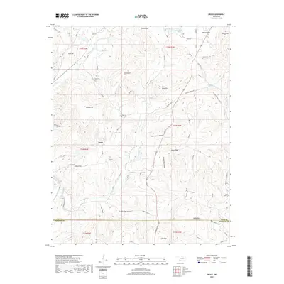 2018 Greasy2018 Print · USGSIn the hills of eastern Oklahoma during the early twenty-first century, this area shows a dense network of family-named hollows and historic cemeteries. Researchers can trace local lineages through sites like Chuculate Cem, Killer Cem, and Beaver Cem among the summits of Hudson Mtn and Walker Mtn.
 - 2022 Map of Greasy, 2022 Print
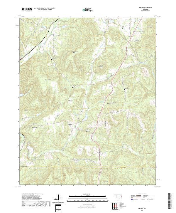 2022 Greasy2022 Print · USGSAdair County communities and the foothills of the Ozarks are documented here in the early twenty-first century. Researchers can locate family landmarks like Chuculate Cem, Beaver Cem, and the settlement at Greasy.
End of results
Showing maps 1-14 of 14
Top cities near Greasy
Frequently asked questions
- What are the different types of historical maps available for Greasy?
- What is the oldest map of Greasy?
- Where can I purchase historical maps of Greasy for my home or office?
- Where can I download high-res historical maps of Greasy?
- Are there historical topographic maps available for Greasy?
- Is there historical aerial imagery available for Greasy?
- Where are historical maps of Greasy sourced from?