2000s (21st Century) Maps of Alfalfa County, Oklahoma
Explore 125 historic maps of Alfalfa County from the 2000s (21st Century). These maps offer a rare glimpse into what life looked like during the 2000s — showing old roads, neighborhoods, homes, and landmarks that have changed or disappeared over time.
Whether you're researching your family's past, planning a metal detecting trip, or studying how Alfalfa County's landscape evolved across the 2000s, these high-resolution maps are a powerful tool for exploring the history of this region.
- Focus on a specific era: All maps on this page are from the 2000s, giving you a focused view of this time period.
- See what’s changed: Compare century-old streets, trails, and buildings to today's modern landscape using overlays and satellite layers.
- Research with precision: Use these maps for genealogy, historical research, land use analysis, or educational projects.
- View, download, or print: Maps are fully viewable online in high resolution, and can be downloaded or printed for your own records.
Start exploring Alfalfa County's history through authentic maps from the 2000s. This is your window into the past.
Alfalfa County, OK maps
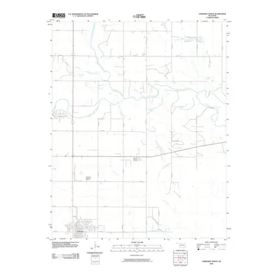
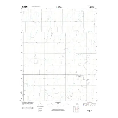
(125)- 2009 Map of Fairview NE, 2009 Print
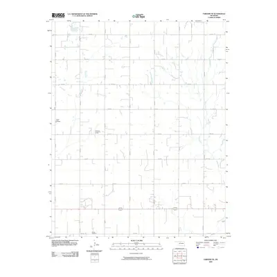 2009 Fairview NE2009 Print · USGSCovers Alfalfa County, including Carwile, Major County, and other nearby areas
 - 2009 Map of Cleo Springs, 2009 Print
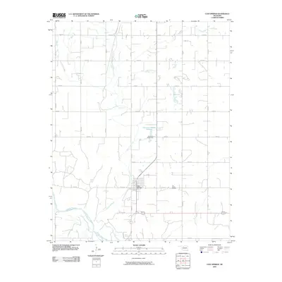 2009 Cleo Springs2009 Print · USGSCovers Alfalfa County, including Cleo Springs, West Cleo, and other nearby areas
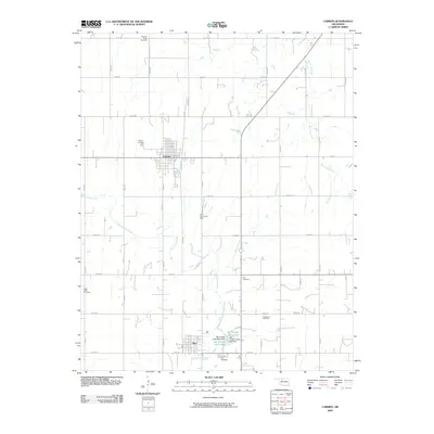
 - 2009 Map of Lambert, 2009 Print
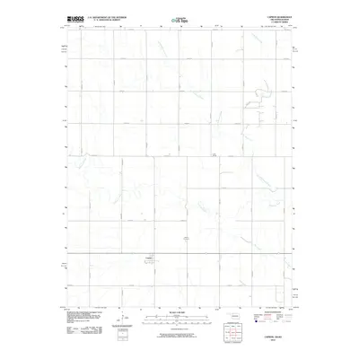
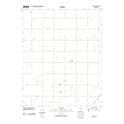 2009 Lambert2009 Print · USGSCovers Alfalfa County, including Lambert, Yewed, and other nearby areas
 - 2009 Map of Glass Mountains NE, 2009 Print
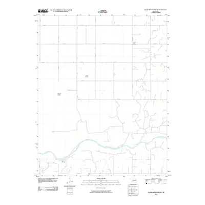 2009 Glass Mountains NE2009 Print · USGSCovers Alfalfa County, including Woods County, Major County, and other nearby areas
 - 2009 Map of Cherokee North, 2009 Print
 2009 Cherokee North2009 Print · USGSCovers Alfalfa County, including Cherokee, United States, and other nearby areas
 - 2009 Map of Carmen, 2009 Print
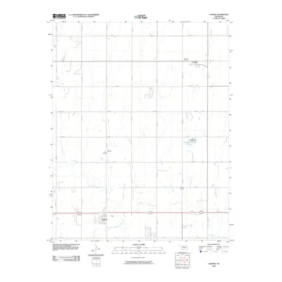
 2009 Carmen2009 Print · USGSCovers Alfalfa County, including Carmen, Aline, and other nearby areas
 - 2009 Map of Alva SE, 2009 Print
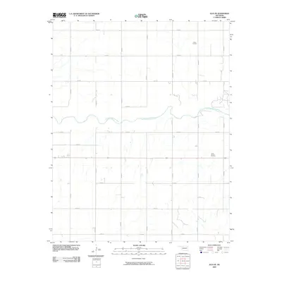 2009 Alva SE2009 Print · USGSCovers Alfalfa County, including Alva, Ashley, and other nearby areas
 - 2009 Map of Ingersoll, 2009 Print
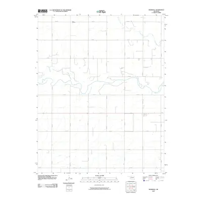 2009 Ingersoll2009 Print · USGSCovers Alfalfa County, including Ingersoll, United States, and other nearby areas
 - 2009 Map of Sand Creek, 2009 Print
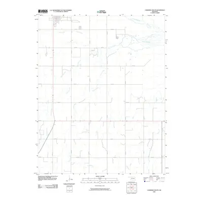
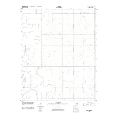 2009 Sand Creek2009 Print · USGSCovers Alfalfa County, including Hawley, Sand Creek, and other nearby areas
 - 2009 Map of Manchester SW, 2009 Print
 2009 Manchester SW2009 Print · USGSCovers Alfalfa County, including Nescatunga, Vining, and other nearby areas
 - 2009 Map of Nash, 2009 Print
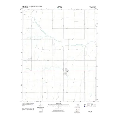 2009 Nash2009 Print · USGSCovers Alfalfa County, including Nash, Grant County, and other nearby areas
 - 2009 Map of Ringwood, 2009 Print
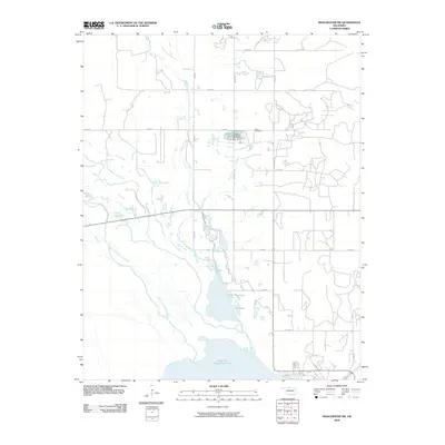
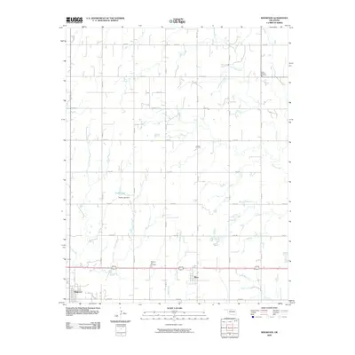 2009 Ringwood2009 Print · USGSCovers Alfalfa County, including Ringwood, Meno, and other nearby areas
 - 2009 Map of Lahoma, 2009 Print
 2009 Lahoma2009 Print · USGSCovers Alfalfa County, including Lahoma, Carrier, and other nearby areas
 - 2009 Map of Cherokee South, 2009 Print
 2009 Cherokee South2009 Print · USGSCovers Alfalfa County, including Cherokee, United States, and other nearby areas
 - 2009 Map of Jet SE, 2009 Print
 2009 Jet SE2009 Print · USGSCovers Alfalfa County, including Garfield County, Grant County, and other nearby areas
 - 2009 Map of Dacoma, 2009 Print
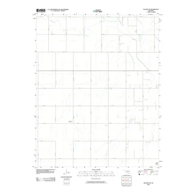
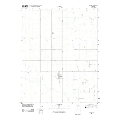 2009 Dacoma2009 Print · USGSCovers Alfalfa County, including Dacoma, Woods County, and other nearby areas
 - 2009 Map of Goltry, 2009 Print
 2009 Goltry2009 Print · USGSCovers Alfalfa County, including Goltry, United States, and other nearby areas
 - 2009 Map of Jet, 2009 Print
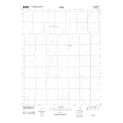
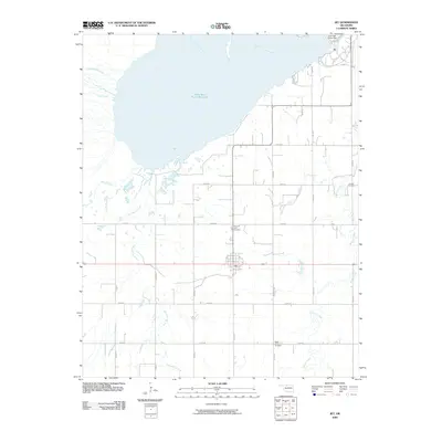 2009 Jet2009 Print · USGSCovers Alfalfa County, including Jet, United States, and other nearby areas
 - 2009 Map of Helena, 2009 Print
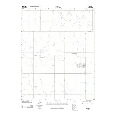 2009 Helena2009 Print · USGSCovers Alfalfa County, including Helena, McWillie, and other nearby areas
 - 2009 Map of Dacoma SE, 2009 Print
 2009 Dacoma SE2009 Print · USGSCovers Alfalfa County, including Woods County, United States, and other nearby areas
 - 2010 Map of Burlington, 2010 Print
 2010 Burlington2010 Print · USGSCovers Alfalfa County, including Burlington, Barber County, and other nearby areas
 - 2010 Map of Manchester NW, 2010 Print
 2010 Manchester NW2010 Print · USGSCovers Alfalfa County, including Waldron, Harper County, and other nearby areas
 - 2010 Map of Manchester, 2010 Print
 2010 Manchester2010 Print · USGSCovers Alfalfa County, including Manchester, Harper County, and other nearby areas
 - 2010 Map of Amorita, 2010 Print
 2010 Amorita2010 Print · USGSCovers Alfalfa County, including Amorita, Byron, and other nearby areas
 - 2010 Map of Capron, 2010 Print
 2010 Capron2010 Print · USGSCovers Alfalfa County, including Capron, Barber County, and other nearby areas
Showing maps 1-25 of 125
Top cities of Alfalfa County
- Cherokee historical maps
- Helena historical maps
- Carmen historical maps
- Goltry historical maps
- Jet historical maps
- Aline historical maps
See more
Frequently asked questions
- What are the different types of historical maps available for Alfalfa County?
- What is the oldest map of Alfalfa County?
- Where can I purchase historical maps of Alfalfa County for my home or office?
- Where can I download high-res historical maps of Alfalfa County?
- Are there historical topographic maps available for Alfalfa County?
- Is there historical aerial imagery available for Alfalfa County?
- Where are historical maps of Alfalfa County sourced from?