2010s Maps of Alfalfa County, Oklahoma
Explore 80 historic maps of Alfalfa County from the 2010s. These maps offer a rare glimpse into what life looked like during the 2010s — showing old roads, neighborhoods, homes, and landmarks that have changed or disappeared over time.
Whether you're researching your family's past, planning a metal detecting trip, or studying how Alfalfa County's landscape evolved across the 2010s, these high-resolution maps are a powerful tool for exploring the history of this region.
- Focus on a specific era: All maps on this page are from the 2010s, giving you a focused view of this time period.
- See what’s changed: Compare century-old streets, trails, and buildings to today's modern landscape using overlays and satellite layers.
- Research with precision: Use these maps for genealogy, historical research, land use analysis, or educational projects.
- View, download, or print: Maps are fully viewable online in high resolution, and can be downloaded or printed for your own records.
Start exploring Alfalfa County's history through authentic maps from the 2010s. This is your window into the past.
Alfalfa County, OK maps
(80)- 2010 Map of Burlington, 2010 Print
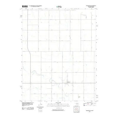 2010 Burlington2010 Print · USGSThe northern edge of Alfalfa County is captured here in the early twenty-first century, centered on the community of Burlington. Researchers can trace the section-line roads leading to the Apostolic Cemetery or follow the meandering paths of Driftwood Creek and Dry Creek.
 - 2010 Map of Manchester NW, 2010 Print
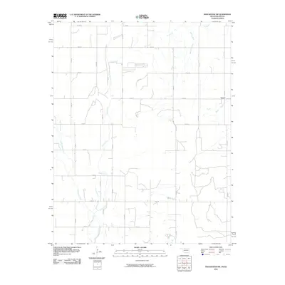 2010 Manchester NW2010 Print · USGSThe Oklahoma and Kansas borderlands are captured here in the early twenty-first century, showing a landscape defined by agriculture and natural drainage. Genealogists and local historians can locate the Mennonite Cemetery or trace the paths of Sandy Creek and Rush Creek.
 - 2010 Map of Manchester, 2010 Print
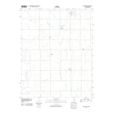 2010 Manchester2010 Print · USGSThis northern Oklahoma borderlands map shows the landscape around Manchester as it appeared in the early twenty-first century. Genealogists and local historians can locate Saints Peter and Paul Cemetery and private airstrips like McCrays Airport and Miller Brothers Airport.
 - 2010 Map of Amorita, 2010 Print
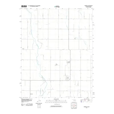 2010 Amorita2010 Print · USGSAlfalfa County at the turn of the century shows a quiet landscape of agricultural towns and prairie rivers. Researchers can trace family history at the Byron-Amorita Cemetery and locate the rural centers of Amorita, Byron, and Driftwood.
 - 2010 Map of Capron, 2010 Print
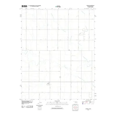 2010 Capron2010 Print · USGSCapron and the surrounding Woods County plains are captured here in the early twenty-first century, showing a landscape defined by ranching and rail. Genealogists and local historians can trace the Capron Cemetery, the rail stop at Loder Siding, and the meanders of Driftwood Creek.
 - 2012 Map of Jet SE, 2012 Print
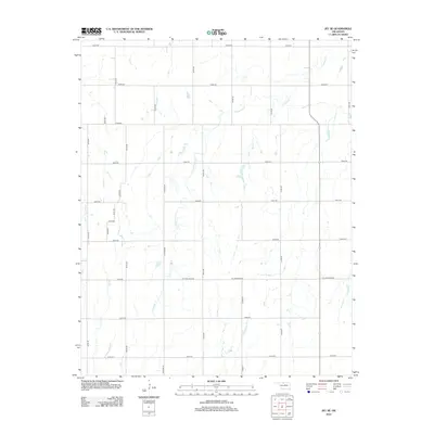 2012 Jet SE2012 Print · USGSGarfield County's rural plains are captured here in the early twenty-first century, showing a landscape defined by an exacting grid of section-line roads and prairie drainages. Researchers can trace the path of Coldwater Cr and locate local routes like N Stabe Rd or W H Holdden Rd.
 - 2012 Map of Glass Mountains NE, 2012 Print
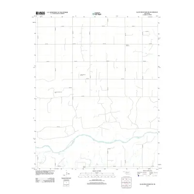 2012 Glass Mountains NE2012 Print · USGSAlfalfa County's prairie landscape and energy resources are captured here in the early twenty-first century. Researchers can locate the Pleasant Ridge Cem or trace the development of the Oakdale Gas and Oil Field near the Cimarron River.
 - 2012 Map of Goltry, 2012 Print
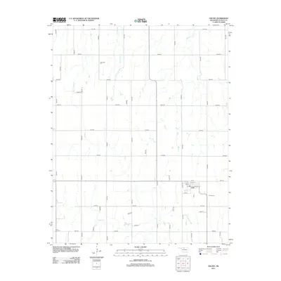 2012 Goltry2012 Print · USGSAlfalfa County agriculture and the town of Goltry are centered in this early 21st-century survey of the Oklahoma plains. Genealogists can locate family burial plots at Timberlake Cem, Karoma Cem, and Good Hope Cem.
 - 2012 Map of Dacoma SE, 2012 Print
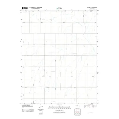 2012 Dacoma SE2012 Print · USGSAlfalfa County's rural grid comes into focus in this early 2010s survey of Oklahoma's high plains. Genealogists and local historians can trace the paths of Sand Creek and Eagle Chief Creek or locate family burials at Good Hope Cemetery.
 - 2012 Map of Fairview NE, 2012 Print
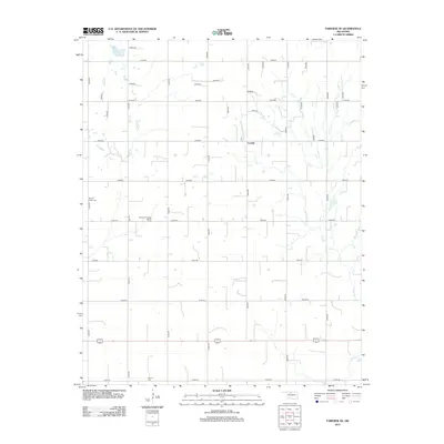 2012 Fairview NE2012 Print · USGSMajor County at the start of the decade reveals a landscape defined by its agricultural grid and the Southeast Chaney Dell Oil Field. Genealogists and historians can locate the Square Cedar Cem and Forrest Cem, or trace the winding path of Indian Cr through the plains.
 - 2012 Map of Manchester, 2012 Print
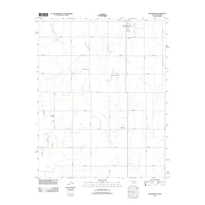 2012 Manchester2012 Print · USGSThe northern edge of Grant County is captured in this 2012 survey as it borders the Kansas state line. Genealogists and researchers can trace the township grid through Manchester and locate local landmarks like Manchester Cem and Mc Crays Airport.
 - 2012 Map of Dacoma, 2012 Print
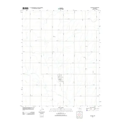 2012 Dacoma2012 Print · USGSThe rural Oklahoma landscape surrounding Dacoma is captured here during the early twenty-first century. Genealogists can locate family landmarks like Union Center Cem and Garrison Cem or trace the path of Eagle Chief Cr.
 - 2012 Map of Cherokee South, 2012 Print
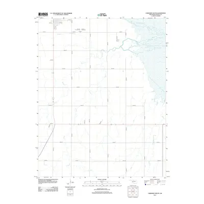 2012 Cherokee South2012 Print · USGSAlfalfa County's southern agricultural landscape is captured here in the early twenty-first century as the town of Cherokee gives way to open prairie. Genealogists and local historians can locate several family sites including Cherokee Municipal Cem and follow the intricate paths of W Clay Creek or Lambert Cr.
 - 2012 Map of Cleo Springs, 2012 Print
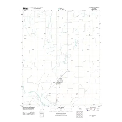 2012 Cleo Springs2012 Print · USGSMajor County at the beginning of the 2010s reveals a quiet agricultural landscape centered on the settlement of Cleo Springs. Researchers can trace local lineage at the Cleo Springs Cem and follow the natural path of the Cimarron River as it flows past West Cleo.
 - 2012 Map of Capron, 2012 Print
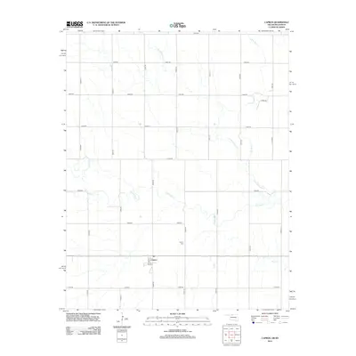 2012 Capron2012 Print · USGSThe borderlands of Woods County are captured here in the early twenty-first century, centered on the rural hub of Capron. Local historians can trace the town’s layout along Main St and locate family history markers at Capron Cemetery near Driftwood Creek.
 - 2012 Map of Ingersoll, 2012 Print
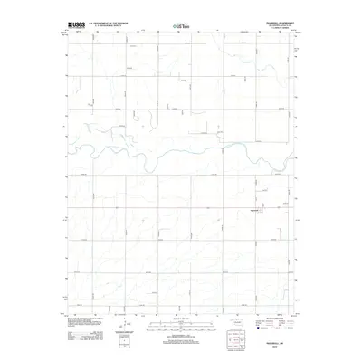 2012 Ingersoll2012 Print · USGSIn the Oklahoma plains of the early 2010s, this area of Alfalfa County is defined by the winding Salt Fork Arkansas River. Genealogists can locate the town of Ingersoll and the rural Keith Cem, set within a vast grid of section-line roads.
 - 2012 Map of Amorita, 2012 Print
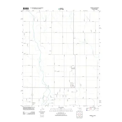 2012 Amorita2012 Print · USGSAlfalfa County's agricultural heartland is documented here in the early twenty-first century, showing the enduring grid of prairie section lines. Researchers can locate legacy sites like Amorita Cem, Byron, and the Medicine Lodge River as they appeared before recent shifts.
 - 2012 Map of Sand Creek, 2012 Print
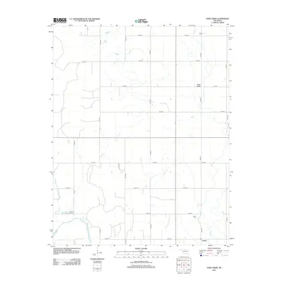 2012 Sand Creek2012 Print · USGSGrant County, Oklahoma, is documented here in the early 2010s, showing a prairie landscape shaped by the Salt Fork Arkansas River. Genealogists and local historians can trace burial sites at Fairview Cem and Hawley Cem near the small community of Hawley.
 - 2012 Map of Alva SE, 2012 Print
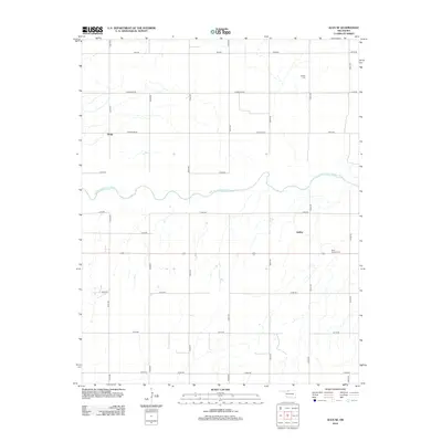 2012 Alva SE2012 Print · USGSWoods County agriculture and the winding Salt Fork Arkansas River define this rural landscape during the early twenty-first century. Genealogists and local historians can locate specific family roots near Liberty Cem or the small settlements of Brink and Ashley.
 - 2012 Map of Jet, 2012 Print
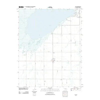 2012 Jet2012 Print · USGSAlfalfa County is centered on the town of Jet in the early 21st century, framed by the Great Salt Plains. Genealogists and researchers can locate family sites near Pleasant View Cemetery, Milan Valley Cemetery, and Kegelman Air Force Field.
 - 2012 Map of Helena, 2012 Print
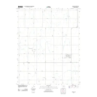 2012 Helena2012 Print · USGSAlfalfa County during the early twenty-first century is defined by the agricultural grid surrounding the town of Helena. Genealogists and local historians can trace family locations near McWillie, the Rupert Cem, and the North McWillie Oil Field.
 - 2012 Map of Lambert, 2012 Print
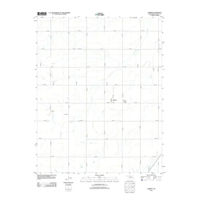 2012 Lambert2012 Print · USGSAlfalfa County's rural landscape is captured here in the early twenty-first century, showcasing a region defined by agricultural grids and small prairie settlements. Researchers can locate the Auburn Cem and trace the paths of Cottonwood Cr through the communities of Lambert and Yewed.
 - 2012 Map of Manchester NW, 2012 Print
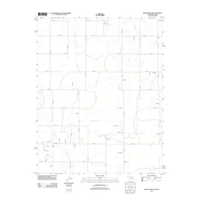 2012 Manchester NW2012 Print · USGSThe Oklahoma-Kansas borderlands are captured here in the early 2010s, showing a landscape defined by a rigid section-line road grid and rural industry. Genealogists can locate family sites near Rosedale Cemetery, the Mennonite Cemetery, and the banks of Sandy Creek.
 - 2012 Map of Lahoma, 2012 Print
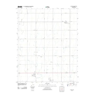 2012 Lahoma2012 Print · USGSCentral Oklahoma prairie life is captured here in the early twenty-first century, centered on the town of Lahoma. Genealogists can trace local roots through several burial sites including Baumagartner Cem and Trinity Lutheran Cem.
 - 2012 Map of Nash, 2012 Print
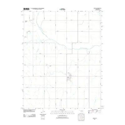 2012 Nash2012 Print · USGSThe community of Nash and its surrounding Grant County farmland are centered here during the early twenty-first century. Genealogists and researchers can trace the location of Dunkard Cem or examine the grounds of Kegelman Auxiliary Field near the Salt Fork Arkansas River.
Showing maps 1-25 of 80
Top cities of Alfalfa County
- Cherokee historical maps
- Helena historical maps
- Carmen historical maps
- Goltry historical maps
- Jet historical maps
- Aline historical maps
See more
Frequently asked questions
- What are the different types of historical maps available for Alfalfa County?
- What is the oldest map of Alfalfa County?
- Where can I purchase historical maps of Alfalfa County for my home or office?
- Where can I download high-res historical maps of Alfalfa County?
- Are there historical topographic maps available for Alfalfa County?
- Is there historical aerial imagery available for Alfalfa County?
- Where are historical maps of Alfalfa County sourced from?