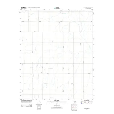
2012 Map of Dacoma SE
USGS Topo · Published 2012About this map
Eagle Chief Creek and Sand Creek wind through this section of rural Alfalfa County, defining a landscape dominated by a precise rectangular grid of section-line roads. This network, including N2480 Road and E0310 Road, reflects the enduring legacy of the Public Land Survey System in Oklahoma's agricultural heartland. The most significant historical marker in this quiet prairie setting is the Good Hope Cemetery, situated at the corner of N2480 Road and E0330 Road. The sparse distribution of named features highlights the region's focus on large-scale ranching and farming during the early 21st century, where landmarks are few but local heritage is anchored in family plots and intermittent watercourses.
Find a feature on this map
20 named features on this map. Tap any name to fly to it.
Don’t see what you’re looking for? This feature index may not catch every label — zoom into the map to look around manually.
Map Details
Editions of this 2012 Dacoma SE Map
This is the sole edition of this map. No revisions or reprints were ever made.
Other maps of this area

1955 · Woodward
USGS Topo · 1:250,000

1958 · Woodward
USGS Topo · 1:250,000

1968 · Carmen
USGS Topo · 1:24,000

1969 · Dacoma
USGS Topo · 1:24,000

1969 · Lambert
USGS Topo · 1:24,000

1969 · Dacoma SW
USGS Topo · 1:24,000

1969 · Glass Mountains NW
USGS Topo · 1:24,000

1969 · Hopeton
USGS Topo · 1:24,000

1969 · Cleo Springs
USGS Topo · 1:24,000

1969 · Glass Mountains NE
USGS Topo · 1:24,000