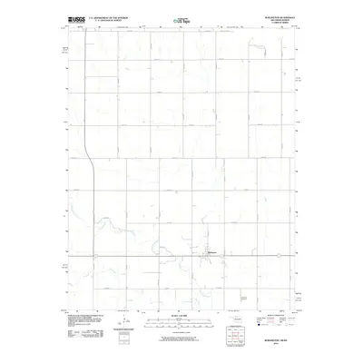
2010 Map of Burlington
USGS Topo · Published 2010About this map
The town of Burlington anchors this survey of Alfalfa County, sitting at the junction of Main St and the regional road network. The landscape is defined by the agricultural grid of the Oklahoma-Kansas border, bounded to the north by Stateline Rd. Waterways such as Driftwood Creek and Dry Creek meander across the terrain, diverging from the rigid section lines that organize the surrounding farms and homesteads. Local history is centered on the community core and the Apostolic Cemetery to the southeast, while specialized routes like Kraft Ln provide access to specific rural properties. The survey illustrates a well-established prairie settlement where the natural drainage of the creeks still influences the placement of buildings and roads within the larger surveyor's grid.
Find a feature on this map
23 named features on this map. Tap any name to fly to it.
Don’t see what you’re looking for? This feature index may not catch every label — zoom into the map to look around manually.
Map Details
Editions of this 2010 Burlington Map
This is the sole edition of this map. No revisions or reprints were ever made.
Other maps of this area

1889 · Anthony
USGS Topo · 1:125,000

1891 · Medicine Lodge
USGS Topo · 1:125,000

1891 · Anthony
USGS Topo · 1:125,000

1893 · Medicine Lodge
USGS Topo · 1:125,000

1955 · Woodward
USGS Topo · 1:250,000

1955 · Pratt
USGS Topo · 1:250,000

1958 · Woodward
USGS Topo · 1:250,000

1959 · Pratt
USGS Topo · 1:250,000

1968 · Capron
USGS Topo · 1:24,000

1969 · Alva SE
USGS Topo · 1:24,000