
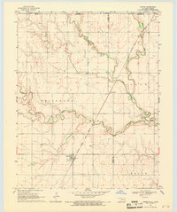
1968 Map of Capron
USGS Topo · Published 1968About this map
Capron stands as a primary settlement in this late 1960s survey, situated along the Atchison Topeka and Santa Fe railroad line. This area of northern Oklahoma, near the state boundary with Kansas, is defined by the winding paths of Driftwood Creek and Little Driftwood Creek, which cut through the townships of Driftwood, Cloud, and Keith. The landscape reflects a mix of agricultural and industrial utility, featuring the Capron Cem and scattered infrastructure such as the Loder Siding and an isolated Oil Well. The intersection of multiple county lines, including Barber and Woods and Woods and Alfalfa, highlights the jurisdictional complexity of this rural prairie region at the time of the 1968 field check.
Find a feature on this map
14 named features on this map. Tap any name to fly to it.
Don’t see what you’re looking for? This feature index may not catch every label — zoom into the map to look around manually.
Map Details
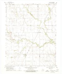
Editions of this 1968 Capron Map
3 editions found
Other maps of this area

1889 · Anthony
USGS Topo · 1:125,000

1891 · Medicine Lodge
USGS Topo · 1:125,000

1891 · Anthony
USGS Topo · 1:125,000

1893 · Medicine Lodge
USGS Topo · 1:125,000

1955 · Woodward
USGS Topo · 1:250,000

1955 · Pratt
USGS Topo · 1:250,000

1958 · Woodward
USGS Topo · 1:250,000

1959 · Pratt
USGS Topo · 1:250,000

1969 · Alva SE
USGS Topo · 1:24,000

1969 · Burlington
USGS Topo · 1:24,000