Old Maps of Country Estates, Durant for Metal Detecting
Plan your next treasure hunt with 11 historic maps of Country Estates. Find old homesites, ghost towns, trails, and gathering spots that may be lost to time — perfect for identifying promising metal detecting locations.
- Locate forgotten sites: Uncover places like long-lost settlements, abandoned rail lines, or gathering spots.
- Plan better hunts: Use map overlays combined with LiDAR or satellite views to narrow in on historically rich areas.
- Made for detectorists: Thousands of hobbyists use these maps to discover relics, coins, and hidden history.
Use these historic maps to boost your research and find new opportunities beneath the surface of Country Estates.
Country Estates, Durant maps
(11)- 1899 Map of Atoka
 1899 Atoka1899 Print · USGSIn the final years of the Indian Territory, this map details the complex border between the Chickasaw and Choctaw Nations. Genealogists can trace early homesteads near Old Boggy Depot, the Buffalo Creek Church, and the Chickasaw Rock Academy.
 - 1900 Map of Atoka
 1900 Atoka1900 Print · USGSIndian Territory at the turn of the century shows the developing rail-and-river network before Oklahoma statehood. Genealogists and historians can trace original settlements like Old Boggy Depot, find the Chickasaw Rock Academy, and follow the Missouri Kansas and Texas R.R. through Atoka.4 unique versions available
 - 1957 Map of Ardmore, 1968 Print
 1957 Ardmore1968 Print · USGSSouth-central Oklahoma in the late fifties was a landscape of rising reservoir waters and expanding rail lines. Genealogists and historians can trace the foundations of Ardmore and Duncan or locate early recreation sites at Platt National Park and Lake Murray State Park.3 unique versions available
 - 1963 Map of Ardmore
 1963 Ardmore1963 Print · USGSSouthern Oklahoma during the early sixties shows a landscape defined by the Arbuckle Mountains and a booming energy economy. Genealogists and historians can trace family-named sites across the Ardmore Oil Field, find old schools like Southeastern State College, or locate historic markers such as Boggy Depot State Park.2 unique versions available
 - 1969 Map of Caddo South, 1971 Print
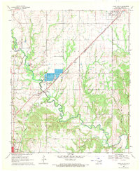 1969 Caddo South1971 Print · USGSBryan County in the late sixties is defined by its transit corridors and the sprawling river valleys of the Blue River. Genealogists and historians can trace the rural infrastructure of Armstrong and Wasseta or locate landmarks like Pleasant Hill Cem and the State Fish Hatchery.
 - 1985 Map of Tishomingo, 1986 Print
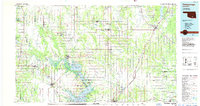 1985 Tishomingo1986 Print · USGSSouthern Oklahoma in the mid-eighties reveals a landscape shaped by significant water projects and conservation lands. Genealogists and historians can trace the footprints of communities like Wapanucka and Bromide alongside the Washita River and Lake Texoma.3 unique versions available
 - 2010 Map of Caddo South, 2010 Print
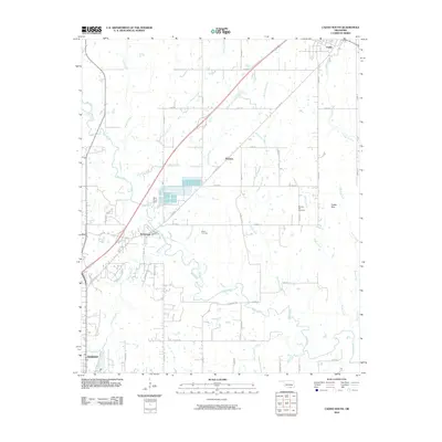 2010 Caddo South2010 Print · USGSBryan County at the turn of the decade shows the essential water networks and rural communities north of the regional hub. Genealogists and historians can locate family sites near Brown Cemetery, the Blue River Dam, and the town of Wasseta.
 - 2012 Map of Caddo South, 2012 Print
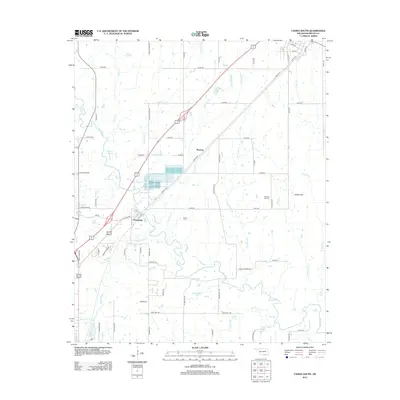 2012 Caddo South2012 Print · USGSNorth of Durant during the early twenty-first century, this area shows the rural landscape of Bryan County defined by the Blue River and the Katy rail line. Researchers can trace family history at Brown Cem and locate former settlements like Armstrong or Wasseta.
 - 2016 Map of Caddo South, 2016 Print
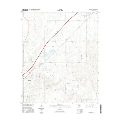 2016 Caddo South2016 Print · USGSThe northern fringes of Durant and the surrounding Bryan County ranch lands are captured here in the mid-2010s. Researchers can trace family history at Pleasant Hill Cem or locate the rural communities of Armstrong and Wasseta along the Blue River.
 - 2018 Map of Caddo South, 2018 Print
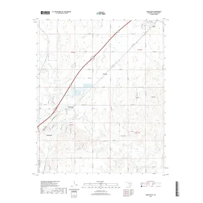 2018 Caddo South2018 Print · USGSBryan County at the turn of the twenty-first century reveals the growth of Durant alongside established rural communities. Researchers can trace family history at Brown Cemetery or locate old home sites near Armstrong and Wasseta along the Blue River.
 - 2022 Map of Caddo South, 2022 Print
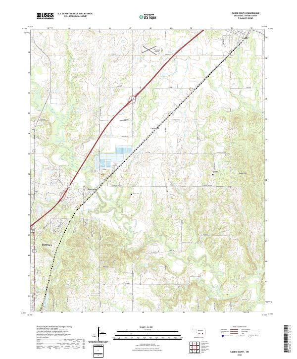 2022 Caddo South2022 Print · USGSThe Bryan County corridor between Caddo and Durant is captured here in the early twenty-first century. Researchers can trace family history at Brown Cem or explore the geography of Armstrong and the Blue River drainage.
End of results
Showing maps 1-11 of 11
Frequently asked questions
- What are the different types of historical maps available for Country Estates?
- What is the oldest map of Country Estates?
- Where can I purchase historical maps of Country Estates for my home or office?
- Where can I download high-res historical maps of Country Estates?
- Are there historical topographic maps available for Country Estates?
- Is there historical aerial imagery available for Country Estates?
- Where are historical maps of Country Estates sourced from?