2020s Maps of Anadarko, Oklahoma
Explore 2 historic maps of Anadarko from the 2020s. These maps offer a rare glimpse into what life looked like during the 2020s — showing old roads, neighborhoods, homes, and landmarks that have changed or disappeared over time.
Whether you're researching your family's past, planning a metal detecting trip, or studying how Anadarko's landscape evolved across the 2020s, these high-resolution maps are a powerful tool for exploring the history of this region.
- Focus on a specific era: All maps on this page are from the 2020s, giving you a focused view of this time period.
- See what’s changed: Compare century-old streets, trails, and buildings to today's modern landscape using overlays and satellite layers.
- Research with precision: Use these maps for genealogy, historical research, land use analysis, or educational projects.
- View, download, or print: Maps are fully viewable online in high resolution, and can be downloaded or printed for your own records.
Start exploring Anadarko's history through authentic maps from the 2020s. This is your window into the past.
Anadarko, OK maps
(2)- 2022 Map of Anadarko West, 2022 Print
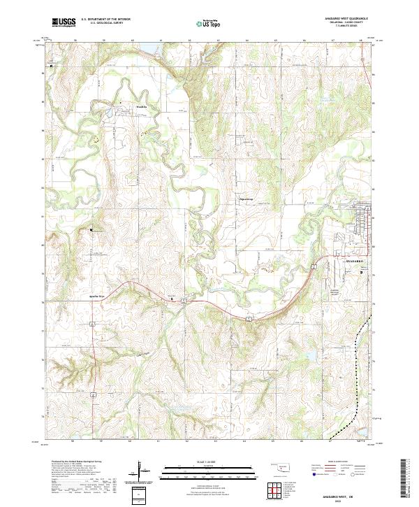 2022 Anadarko West2022 Print · USGSCaddo County in the early twenty-first century reveals a landscape defined by the winding Washita River and its rural outposts. Genealogists can trace family connections at Red Stone Cem or Ware Cem and locate landmarks like Apache Wye.
 - 2022 Map of Anadarko East, 2022 Print
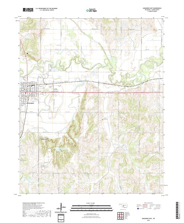 2022 Anadarko East2022 Print · USGSThe community of ANADARKO and its surrounding river valley are detailed in this 2022 survey. Researchers can locate the Caddo County Courthouse, the Riverside Cem, and landmarks like Indian City among the South Hills.
End of results
Showing maps 1-2 of 2
Top cities near Anadarko
- Apache historical maps
- Cyril historical maps
- Verden historical maps
- Fort Cobb historical maps
- Cement historical maps
- Gracemont historical maps
Frequently asked questions
- What are the different types of historical maps available for Anadarko?
- What is the oldest map of Anadarko?
- Where can I purchase historical maps of Anadarko for my home or office?
- Where can I download high-res historical maps of Anadarko?
- Are there historical topographic maps available for Anadarko?
- Is there historical aerial imagery available for Anadarko?
- Where are historical maps of Anadarko sourced from?