Old Maps of Anadarko, Oklahoma for Metal Detecting
Plan your next treasure hunt with 17 historic maps of Anadarko. Find old homesites, ghost towns, trails, and gathering spots that may be lost to time — perfect for identifying promising metal detecting locations.
- Locate forgotten sites: Uncover places like long-lost settlements, abandoned rail lines, or gathering spots.
- Plan better hunts: Use map overlays combined with LiDAR or satellite views to narrow in on historically rich areas.
- Made for detectorists: Thousands of hobbyists use these maps to discover relics, coins, and hidden history.
Use these historic maps to boost your research and find new opportunities beneath the surface of Anadarko.
Anadarko, OK maps
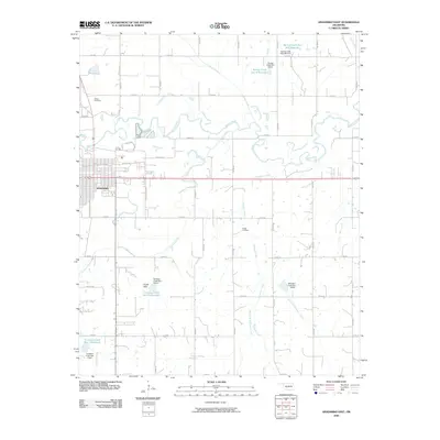
(17)- 1945 Map of Anadarko
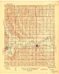 1945 Anadarko1945 Print · USGSCaddo and Grady counties are documented during the mid-1940s as the rail-and-river economy flourished. Genealogists can locate numerous rural community landmarks like Liberty Cem, Riverside Indian School, and Oakdale Sch.2 unique versions available
 - 1951 Map of Fort Cobb, 1952 Print
 1951 Fort Cobb1952 Print · USGSCaddo County's agricultural and rail-driven landscape is captured here in the early fifties, centered on the Washita River valley. Genealogists and historians can trace the foundations of local life through rural landmarks like St Patricks Indian Mission, Oak Grove Cem, and the Riverside Indian Sch.5 unique versions available
 - 1955 Map of Clinton, 1964 Print
 1955 Clinton1964 Print · USGSWestern Oklahoma during the mid-century transition shows a landscape of growing reservoirs and active military flight lines. Genealogists and historians can locate rural landmarks such as Mountain View Church, Berlin School, and the Riverside Indian School Reserve.3 unique versions available
 - 1957 Map of Clinton
 1957 Clinton1957 Print · USGSWestern Oklahoma in the mid-fifties is captured here as a landscape of river-valley settlements and emerging energy fields. Genealogists can trace family roots through numerous rural landmarks like the Swapping Back Indian School, Hebron Church, and the Riverside Indian School Reserve.
 - 1968 Map of Anadarko East, 1970 Print
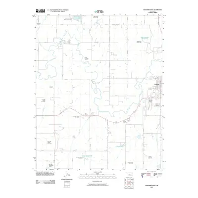
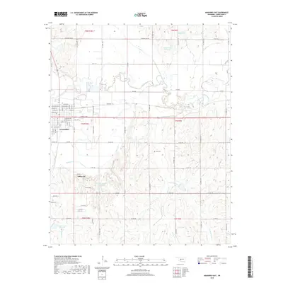
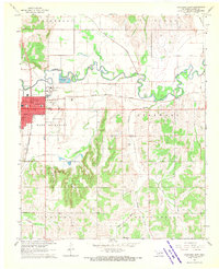 1968 Anadarko East1970 Print · USGSAnadarko and the Washita River valley are captured in the late sixties, showing the town at a peak of mid-century growth. Researchers can trace local history at the Indian Museum, the Fairground, and legacy sites like Kiowa Cem or New Hope Ch.
 - 1979 Map of Anadarko West
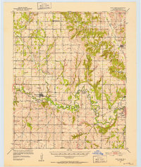
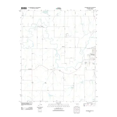
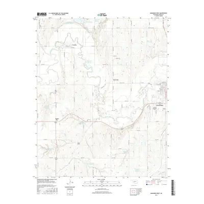
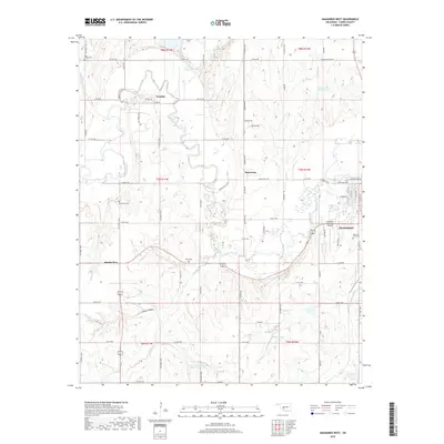
 1979 Anadarko West1979 Print · USGSCaddo County during the late seventies shows a landscape defined by the winding Washita River and the expanding western outskirts of Anadarko. Genealogists and local historians can trace rural roots through Red Stone Ch, the Riverside Indian Sch, and Ware Cem.2 unique versions available
 - 1986 Map of Anadarko
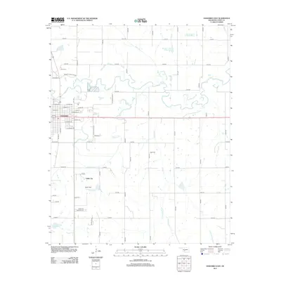
 1986 Anadarko1986 Print · USGSThe Oklahoma plains around Anadarko are captured in the mid-1980s, showing the intersection of rail history and tribal heritage. Genealogists and historians can trace the Indian Treaty Boundary or locate old rail stops along the Burlington Northern Railroad and Atchison, Topeka and Santa Fe Railway.2 unique versions available
 - 2009 Map of Anadarko East, 2009 Print
 2009 Anadarko East2009 Print · USGSCovers Anadarko, including Indian City, Caddo County, and other nearby areas
 - 2009 Map of Anadarko West, 2009 Print
 2009 Anadarko West2009 Print · USGSCovers Anadarko, including Apache Wye, Squaretop, and other nearby areas
 - 2012 Map of Anadarko East, 2012 Print
 2012 Anadarko East2012 Print · USGSCovers Anadarko, including Indian City, Caddo County, and other nearby areas
 - 2012 Map of Anadarko West, 2012 Print
 2012 Anadarko West2012 Print · USGSCovers Anadarko, including Apache Wye, Squaretop, and other nearby areas
 - 2016 Map of Anadarko West, 2016 Print
 2016 Anadarko West2016 Print · USGSCovers Anadarko, including Apache Wye, Squaretop, and other nearby areas
 - 2016 Map of Anadarko East, 2016 Print
 2016 Anadarko East2016 Print · USGSCovers Anadarko, including Indian City, Caddo County, and other nearby areas
 - 2018 Map of Anadarko West, 2018 Print
 2018 Anadarko West2018 Print · USGSCovers Anadarko, including Apache Wye, Squaretop, and other nearby areas
 - 2018 Map of Anadarko East, 2018 Print
 2018 Anadarko East2018 Print · USGSCovers Anadarko, including Indian City, Caddo County, and other nearby areas
 - 2022 Map of Anadarko West, 2022 Print
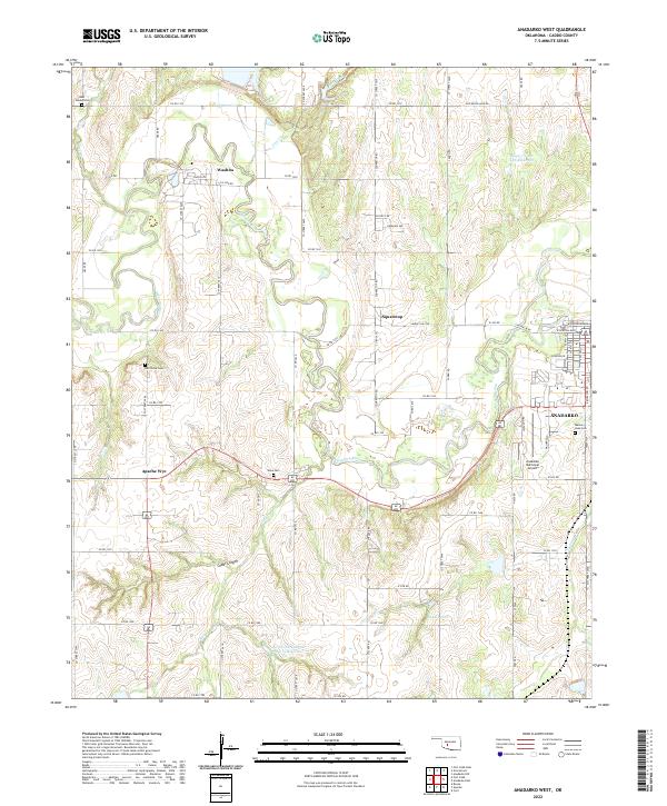 2022 Anadarko West2022 Print · USGSCaddo County in the early twenty-first century reveals a landscape defined by the winding Washita River and its rural outposts. Genealogists can trace family connections at Red Stone Cem or Ware Cem and locate landmarks like Apache Wye.
 - 2022 Map of Anadarko East, 2022 Print
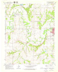
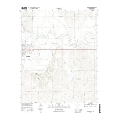
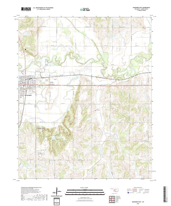 2022 Anadarko East2022 Print · USGSThe community of ANADARKO and its surrounding river valley are detailed in this 2022 survey. Researchers can locate the Caddo County Courthouse, the Riverside Cem, and landmarks like Indian City among the South Hills.
End of results
Showing maps 1-17 of 17
Top cities near Anadarko
- Apache historical maps
- Cyril historical maps
- Verden historical maps
- Fort Cobb historical maps
- Cement historical maps
- Gracemont historical maps
Frequently asked questions
- What are the different types of historical maps available for Anadarko?
- What is the oldest map of Anadarko?
- Where can I purchase historical maps of Anadarko for my home or office?
- Where can I download high-res historical maps of Anadarko?
- Are there historical topographic maps available for Anadarko?
- Is there historical aerial imagery available for Anadarko?
- Where are historical maps of Anadarko sourced from?