Old Maps of Hatchetville, Oklahoma for Genealogy
Trace your family roots with 10 historic maps of Hatchetville. These high-res maps reveal old neighborhoods, homesites, landmarks, and streets — helping you uncover where your ancestors lived and how the area evolved over time.
- Explore historic neighborhoods: Identify where your relatives may have lived in the 1800s or 1900s.
- Compare maps over time: Trace the changes in streets, buildings, and landmarks for multi-generational research.
- Perfect for genealogy & ancestry research: Used by family historians and researchers to map out lineage and migration.
These maps are an incredible resource for exploring your personal connection to Hatchetville's past.
Hatchetville, OK maps
(10)- 1955 Map of Lawton, 1958 Print
 1955 Lawton1958 Print · USGSSouthwestern Oklahoma and North Texas are shown here in the mid-fifties, dominated by the Wichita Mountains and the vital Red River watershed. Genealogists and historians can trace the foundations of Lawton alongside rural landmarks like Rainy Mountain Church and Pleasant Hill School.5 unique versions available
 - 1956 Map of Boone, 1959 Print
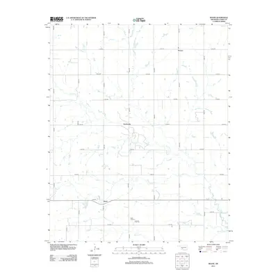
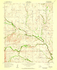 1956 Boone1959 Print · USGSCaddo County's rural landscape is captured here in the mid-fifties, showing a community built around small settlements and seasonal creeks. Genealogists can locate family sites near Boone Memorial Church, the Comanche Indian Cemetery, or the rural crossroads of Hatchetville.2 unique versions available
 - 1956 Map of Apache, 1960 Print
 1956 Apache1960 Print · USGSCaddo and Comanche counties come into focus during the mid-fifties as agriculture and military operations define the local landscape. Researchers can trace rural landmarks from the Mahsetka Indian Church to the limestone works at Richards Spur and the rail sidings of Stecker.2 unique versions available
 - 1981 Map of Lawton
 1981 Lawton1981 Print · USGSSouthwestern Oklahoma in the early eighties shows a landscape shaped by military history and the rising peaks of the Wichitas. Researchers can trace the boundaries of the Fort Sill Military Reservation and locate early settlements like Meers, Chattanooga, and Richards Spur.
 - 1991 Map of Boone, 1992 Print
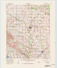
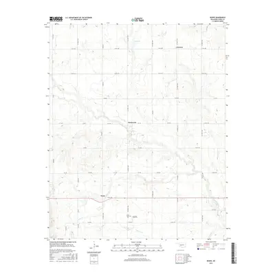
 1991 Boone1992 Print · USGSCaddo County's agricultural and energy-producing landscape is captured here in the early nineties, centered on the East Cache Creek watershed. Researchers can trace local heritage at the Comanche Indian Cem or find old community centers like Boone and Hatchetville.
 - 2009 Map of Boone, 2009 Print
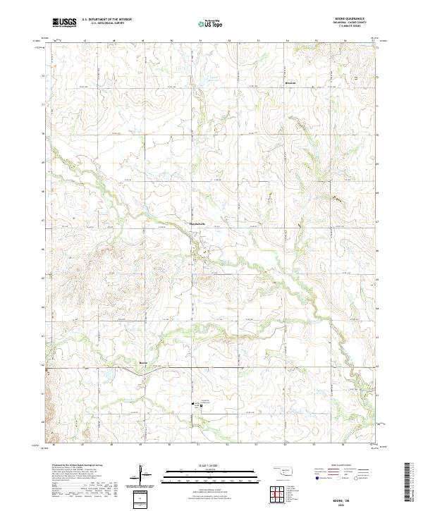
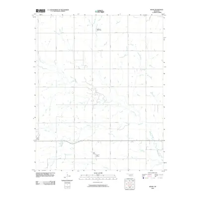 2009 Boone2009 Print · USGSCovers Hatchetville, including Boone, Broxton, and other nearby areas
 - 2012 Map of Boone, 2012 Print
 2012 Boone2012 Print · USGSCovers Hatchetville, including Boone, Broxton, and other nearby areas
 - 2016 Map of Boone, 2016 Print
 2016 Boone2016 Print · USGSCovers Hatchetville, including Boone, Broxton, and other nearby areas
 - 2018 Map of Boone, 2018 Print
 2018 Boone2018 Print · USGSCovers Hatchetville, including Boone, Broxton, and other nearby areas
 - 2022 Map of Boone, 2022 Print
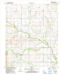
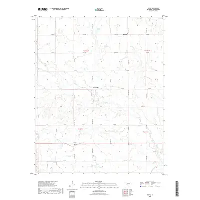
 2022 Boone2022 Print · USGSCaddo County's rural landscape is documented here in the early 2020s, centered on the historic crossroads of Boone and Hatchetville. Researchers can trace local heritage at the Comanche Indian Cem and follow the drainage of East Cache Creek and Mission Cr.
End of results
Showing maps 1-10 of 10
Top cities near Hatchetville
- Anadarko historical maps
- Carnegie historical maps
- Apache historical maps
- Elgin historical maps
- Fletcher historical maps
- Fort Cobb historical maps
See more
Frequently asked questions
- What are the different types of historical maps available for Hatchetville?
- What is the oldest map of Hatchetville?
- Where can I purchase historical maps of Hatchetville for my home or office?
- Where can I download high-res historical maps of Hatchetville?
- Are there historical topographic maps available for Hatchetville?
- Is there historical aerial imagery available for Hatchetville?
- Where are historical maps of Hatchetville sourced from?