Old Maps of Pine Ridge, Oklahoma for Hiking & Exploration
Hike through history with 10 historic maps of Pine Ridge. Explore old trails, ghost towns, and forgotten backroads — perfect for outdoor adventurers and local explorers.
- Rediscover forgotten places: Map out old mining camps, roads, and footpaths that no longer exist on modern maps.
- Layer with modern tools: Combine with LiDAR or satellite views to plan hikes through historical terrain.
- Made for exploration: Popular among hikers, overlanders, and local history lovers.
Use these maps to find adventure and explore the hidden past of Pine Ridge.
Pine Ridge, OK maps
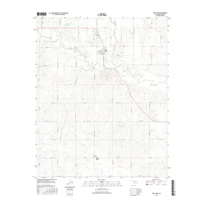
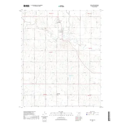
(10)- 1951 Map of Fort Cobb, 1952 Print
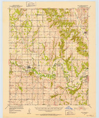 1951 Fort Cobb1952 Print · USGSCaddo County's agricultural and rail-driven landscape is captured here in the early fifties, centered on the Washita River valley. Genealogists and historians can trace the foundations of local life through rural landmarks like St Patricks Indian Mission, Oak Grove Cem, and the Riverside Indian Sch.5 unique versions available
 - 1955 Map of Clinton, 1964 Print
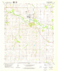
 1955 Clinton1964 Print · USGSWestern Oklahoma during the mid-century transition shows a landscape of growing reservoirs and active military flight lines. Genealogists and historians can locate rural landmarks such as Mountain View Church, Berlin School, and the Riverside Indian School Reserve.3 unique versions available
 - 1957 Map of Clinton
 1957 Clinton1957 Print · USGSWestern Oklahoma in the mid-fifties is captured here as a landscape of river-valley settlements and emerging energy fields. Genealogists can trace family roots through numerous rural landmarks like the Swapping Back Indian School, Hebron Church, and the Riverside Indian School Reserve.
 - 1979 Map of Fort Cobb
 1979 Fort Cobb1979 Print · USGSFort Cobb and the surrounding Caddo County uplands are captured here in the late seventies, centered on the Washita River valley. Researchers can trace local community roots at the Indian Ceremonial Grounds, Cem Pine Ridge, and several rural churches.2 unique versions available
 - 1986 Map of Anadarko
 1986 Anadarko1986 Print · USGSThe Oklahoma plains around Anadarko are captured in the mid-1980s, showing the intersection of rail history and tribal heritage. Genealogists and historians can trace the Indian Treaty Boundary or locate old rail stops along the Burlington Northern Railroad and Atchison, Topeka and Santa Fe Railway.2 unique versions available
 - 2009 Map of Fort Cobb, 2009 Print
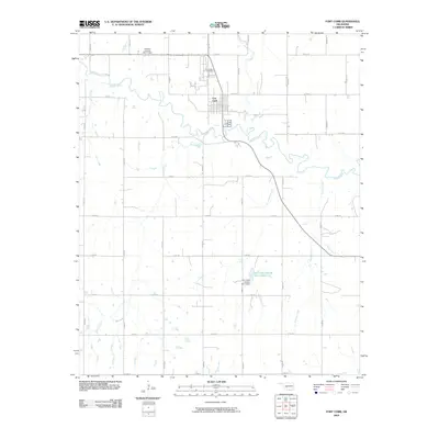 2009 Fort Cobb2009 Print · USGSCovers Pine Ridge, including Fort Cobb, Caddo County, and other nearby areas
 - 2012 Map of Fort Cobb, 2012 Print
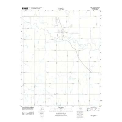 2012 Fort Cobb2012 Print · USGSCovers Pine Ridge, including Fort Cobb, Caddo County, and other nearby areas
 - 2016 Map of Fort Cobb, 2016 Print
 2016 Fort Cobb2016 Print · USGSCovers Pine Ridge, including Fort Cobb, Caddo County, and other nearby areas
 - 2018 Map of Fort Cobb, 2018 Print
 2018 Fort Cobb2018 Print · USGSCovers Pine Ridge, including Fort Cobb, Caddo County, and other nearby areas
 - 2022 Map of Fort Cobb, 2022 Print
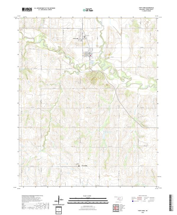 2022 Fort Cobb2022 Print · USGSCaddo County's agricultural heartland is documented here in the early 2020s, centered on the confluence of the Washita River and Cobb Cr. Genealogists and local historians can trace family ties at the Fort Cobb Cem and Pleasant View Cem or explore the street grid of Fort Cobb.
End of results
Showing maps 1-10 of 10
Top cities near Pine Ridge
- Anadarko historical maps
- Carnegie historical maps
- Apache historical maps
- Elgin historical maps
- Fletcher historical maps
- Fort Cobb historical maps
See more
Frequently asked questions
- What are the different types of historical maps available for Pine Ridge?
- What is the oldest map of Pine Ridge?
- Where can I purchase historical maps of Pine Ridge for my home or office?
- Where can I download high-res historical maps of Pine Ridge?
- Are there historical topographic maps available for Pine Ridge?
- Is there historical aerial imagery available for Pine Ridge?
- Where are historical maps of Pine Ridge sourced from?