2000s (21st Century) Maps of Ardmore, Oklahoma
Explore 25 historic maps of Ardmore from the 2000s (21st Century). These maps offer a rare glimpse into what life looked like during the 2000s — showing old roads, neighborhoods, homes, and landmarks that have changed or disappeared over time.
Whether you're researching your family's past, planning a metal detecting trip, or studying how Ardmore's landscape evolved across the 2000s, these high-resolution maps are a powerful tool for exploring the history of this region.
- Focus on a specific era: All maps on this page are from the 2000s, giving you a focused view of this time period.
- See what’s changed: Compare century-old streets, trails, and buildings to today's modern landscape using overlays and satellite layers.
- Research with precision: Use these maps for genealogy, historical research, land use analysis, or educational projects.
- View, download, or print: Maps are fully viewable online in high resolution, and can be downloaded or printed for your own records.
Start exploring Ardmore's history through authentic maps from the 2000s. This is your window into the past.
Ardmore, OK maps
(25)- 2009 Map of Ardmore East, 2009 Print
 2009 Ardmore East2009 Print · USGSCovers Ardmore, including Dickson, Caldwell Hill, and other nearby areas
 - 2009 Map of Gene Autry, 2009 Print
 2009 Gene Autry2009 Print · USGSCovers Ardmore, including Springer, Gene Autry, and other nearby areas
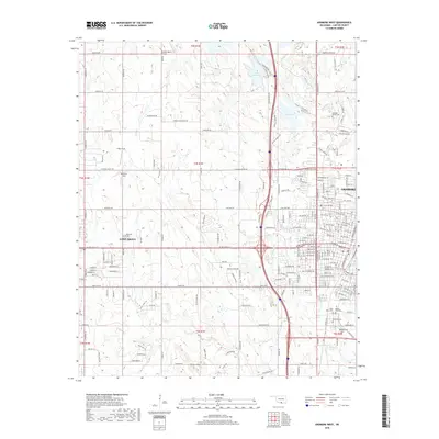
 - 2009 Map of Ardmore West, 2009 Print
 2009 Ardmore West2009 Print · USGSCovers Ardmore, including Lone Grove, Carter County, and other nearby areas
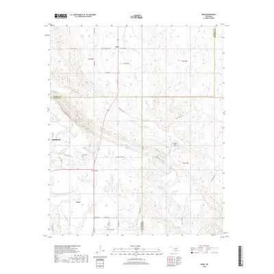
 - 2009 Map of Nebo, 2009 Print
 2009 Nebo2009 Print · USGSCovers Ardmore, including Baum, Nebo, and other nearby areas
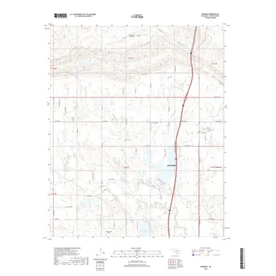
 - 2010 Map of Springer, 2010 Print
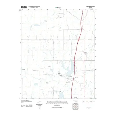 2010 Springer2010 Print · USGSCovers Ardmore, including Springer, Glenn, and other nearby areas
 - 2012 Map of Springer, 2012 Print
 2012 Springer2012 Print · USGSCovers Ardmore, including Springer, Glenn, and other nearby areas
 - 2012 Map of Gene Autry, 2012 Print
 2012 Gene Autry2012 Print · USGSCovers Ardmore, including Springer, Gene Autry, and other nearby areas
 - 2012 Map of Ardmore West, 2012 Print
 2012 Ardmore West2012 Print · USGSCovers Ardmore, including Lone Grove, Carter County, and other nearby areas
 - 2013 Map of Nebo, 2013 Print
 2013 Nebo2013 Print · USGSCovers Ardmore, including Baum, Nebo, and other nearby areas
 - 2013 Map of Ardmore East, 2013 Print
 2013 Ardmore East2013 Print · USGSCovers Ardmore, including Dickson, Caldwell Hill, and other nearby areas
 - 2016 Map of Ardmore West, 2016 Print
 2016 Ardmore West2016 Print · USGSCovers Ardmore, including Lone Grove, Carter County, and other nearby areas
 - 2016 Map of Ardmore East, 2016 Print
 2016 Ardmore East2016 Print · USGSCovers Ardmore, including Dickson, Caldwell Hill, and other nearby areas
 - 2016 Map of Springer, 2016 Print
 2016 Springer2016 Print · USGSCovers Ardmore, including Springer, Glenn, and other nearby areas
 - 2016 Map of Gene Autry, 2016 Print
 2016 Gene Autry2016 Print · USGSCovers Ardmore, including Springer, Gene Autry, and other nearby areas
 - 2016 Map of Nebo, 2016 Print
 2016 Nebo2016 Print · USGSCovers Ardmore, including Baum, Nebo, and other nearby areas
 - 2018 Map of Gene Autry, 2018 Print
 2018 Gene Autry2018 Print · USGSCovers Ardmore, including Springer, Gene Autry, and other nearby areas
 - 2018 Map of Ardmore West, 2018 Print
 2018 Ardmore West2018 Print · USGSCovers Ardmore, including Lone Grove, Carter County, and other nearby areas
 - 2018 Map of Ardmore East, 2018 Print
 2018 Ardmore East2018 Print · USGSCovers Ardmore, including Dickson, Caldwell Hill, and other nearby areas
 - 2018 Map of Springer, 2018 Print
 2018 Springer2018 Print · USGSCovers Ardmore, including Springer, Glenn, and other nearby areas
 - 2018 Map of Nebo, 2018 Print
 2018 Nebo2018 Print · USGSCovers Ardmore, including Baum, Nebo, and other nearby areas
 - 2022 Map of Gene Autry, 2022 Print
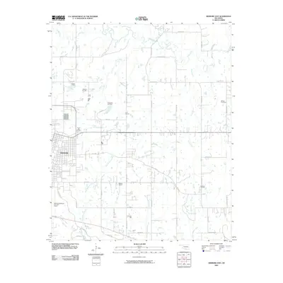
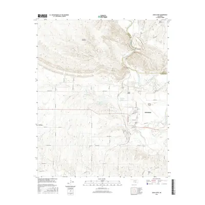
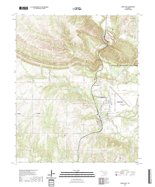 2022 Gene Autry2022 Print · USGSSouthern Oklahoma’s transition from the Arbuckle foothills to the Washita River valley is captured here in the early twenty-first century. Researchers can trace local heritage through numerous burial sites like Old Berwyn Cem and the settlement at Gene Autry.
 - 2022 Map of Ardmore West, 2022 Print
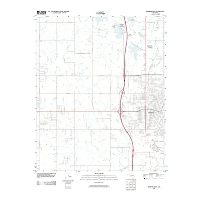
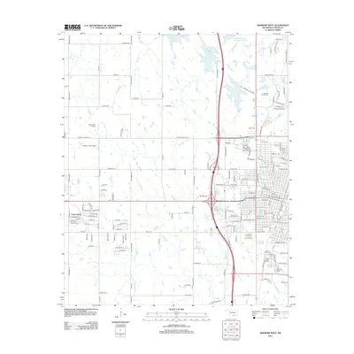
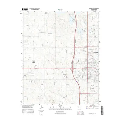
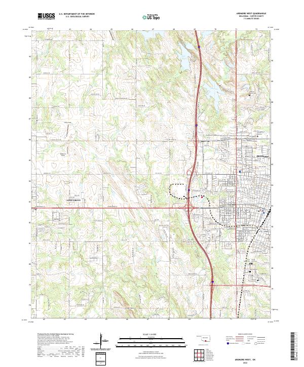 2022 Ardmore West2022 Print · USGSArdmore and nearby Lone Grove are shown at their modern extent in the early 2020s, highlighting the expansion of residential and educational infrastructure. Trace local family history at Rose Hill Cem or locate civil landmarks like the Carter County Courthouse.
 - 2022 Map of Nebo, 2022 Print
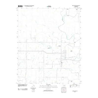
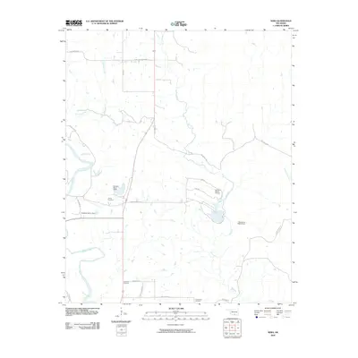
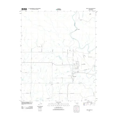
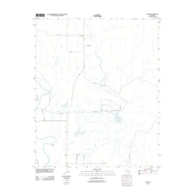
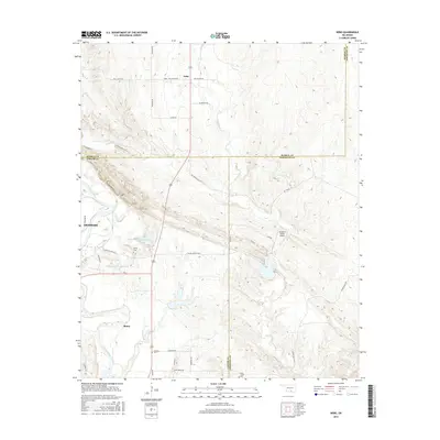
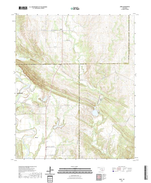 2022 Nebo2022 Print · USGSSouthern Oklahoma's Arbuckle foothills come into focus in this recent survey of Carter and Johnston Counties. Researchers can trace rural lineages at Young Cem or explore the terrain around the settlements of Nebo and Baum.
 - 2022 Map of Springer, 2022 Print
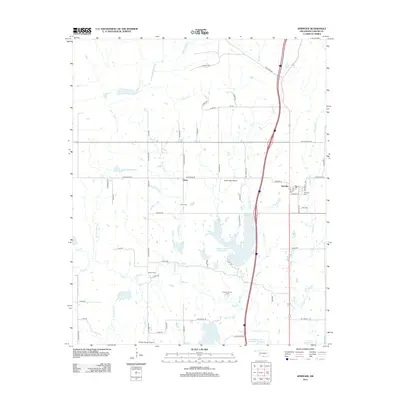
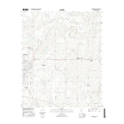
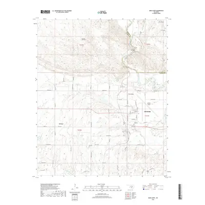
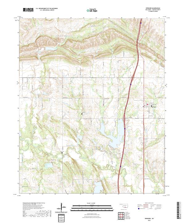 2022 Springer2022 Print · USGSSouth-central Oklahoma's diverse terrain is on display here in the early 2020s, from the southern edges of the Arbuckle Mountains to the plains of Carter County. Genealogists and local historians can trace legacy burial grounds like Springer Cemetery and Gaines Cem among the waters of Grindstone Cr.
 - 2022 Map of Ardmore East, 2022 Print
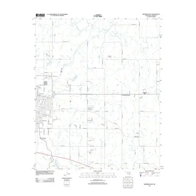
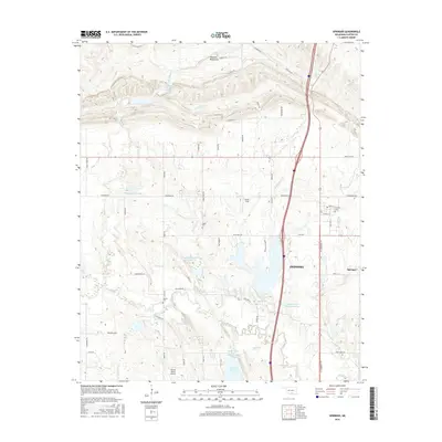
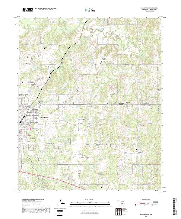 2022 Ardmore East2022 Print · USGSEastern Carter County at the start of the 2020s shows the modern footprint of Oklahoma's urban-to-rural transition. Genealogists and local historians can trace family locations near Clearview Com, Provence, and historic burial sites like Cole Cem.
End of results
Showing maps 1-25 of 25
Top cities near Ardmore
- Lone Grove historical maps
- Dickson historical maps
- Springer historical maps
- Mannsville historical maps
- Dougherty historical maps
- Gene Autry historical maps
Frequently asked questions
- What are the different types of historical maps available for Ardmore?
- What is the oldest map of Ardmore?
- Where can I purchase historical maps of Ardmore for my home or office?
- Where can I download high-res historical maps of Ardmore?
- Are there historical topographic maps available for Ardmore?
- Is there historical aerial imagery available for Ardmore?
- Where are historical maps of Ardmore sourced from?