2020s Maps of Slaughterville, Oklahoma
Explore 4 historic maps of Slaughterville from the 2020s. These maps offer a rare glimpse into what life looked like during the 2020s — showing old roads, neighborhoods, homes, and landmarks that have changed or disappeared over time.
Whether you're researching your family's past, planning a metal detecting trip, or studying how Slaughterville's landscape evolved across the 2020s, these high-resolution maps are a powerful tool for exploring the history of this region.
- Focus on a specific era: All maps on this page are from the 2020s, giving you a focused view of this time period.
- See what’s changed: Compare century-old streets, trails, and buildings to today's modern landscape using overlays and satellite layers.
- Research with precision: Use these maps for genealogy, historical research, land use analysis, or educational projects.
- View, download, or print: Maps are fully viewable online in high resolution, and can be downloaded or printed for your own records.
Start exploring Slaughterville's history through authentic maps from the 2020s. This is your window into the past.
Slaughterville, OK maps
(4)- 2022 Map of Purcell, 2022 Print
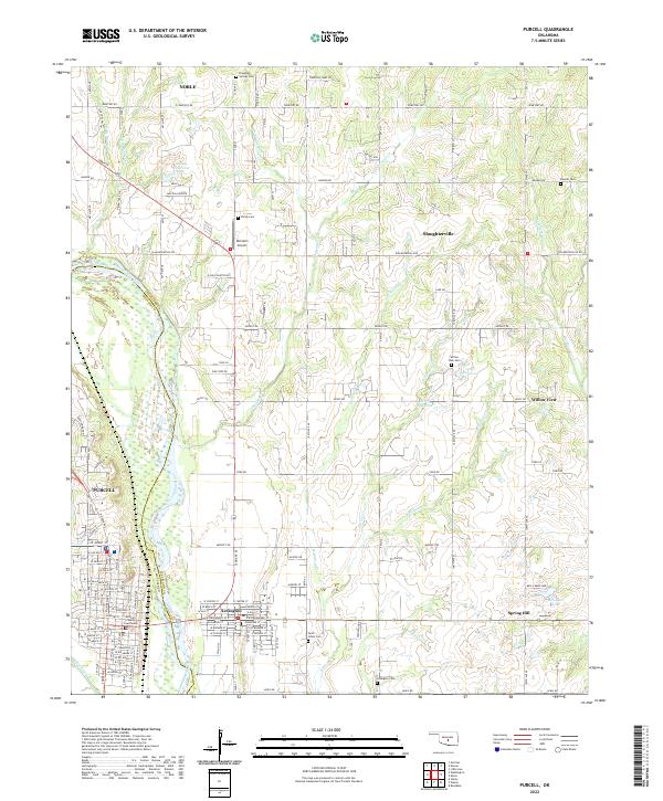 2022 Purcell2022 Print · USGSPurcell and Lexington sit on opposite banks of the Canadian River in this modern-era survey of central Oklahoma. Researchers can trace the civic heart of the area at the McClain County Courthouse or locate family plots at Shiloh Cemetery and Saint Johns Cemetery.
 - 2022 Map of Denver, 2022 Print
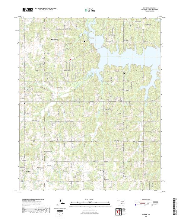 2022 Denver2022 Print · USGSCleveland County's eastern reaches are shown here in the 2020s, where growing communities meet the waters of the Little River. Researchers can locate historic rural burial grounds like Falls Cem and trace the many drainages feeding Lake Thunderbird.
 - 2022 Map of Eason, 2022 Print
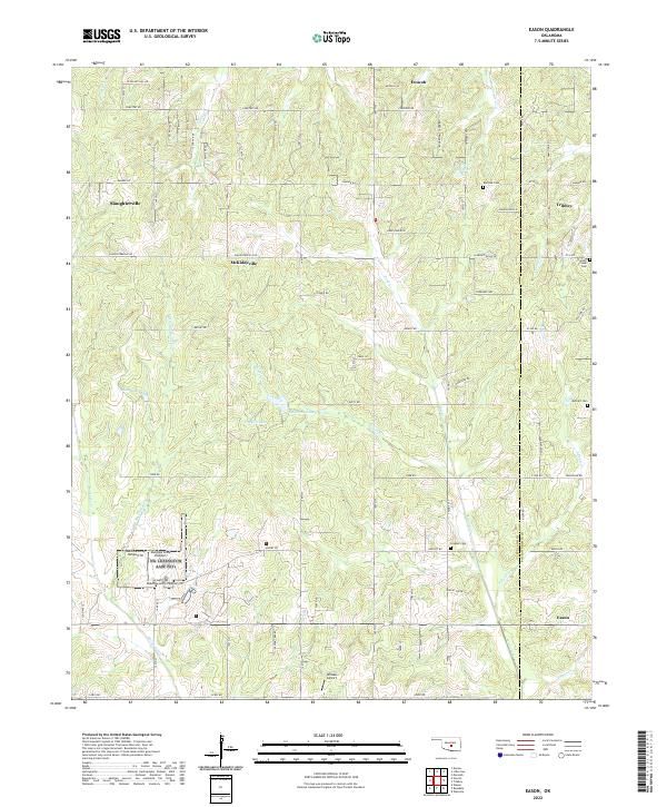 2022 Eason2022 Print · USGSOklahoma's rural heartland comes into focus here, showing the cross-county settlements along the Cleveland and Pottawatomie border. Trace family roots at Red Oak Cemetery and explore the geography of small communities like McKiddyville and Tribbey.
 - 2022 Map of Little Axe, 2022 Print
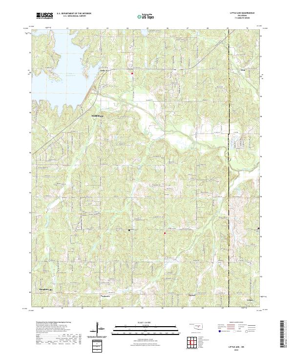 2022 Little Axe2022 Print · USGSCleveland County east of Norman is shown here in the 2020s, where the waters of Lake Thunderbird meet the winding Little River. Researchers can trace the rural communities of Little Axe, Etowah, and Pink alongside historical sites like Bethel Cem.
End of results
Showing maps 1-4 of 4
Top cities near Slaughterville
- Oklahoma City historical maps
- Norman historical maps
- Moore historical maps
- Shawnee historical maps
- Newcastle historical maps
- Noble historical maps
See more
Top neighborhoods of Slaughterville
Frequently asked questions
- What are the different types of historical maps available for Slaughterville?
- What is the oldest map of Slaughterville?
- Where can I purchase historical maps of Slaughterville for my home or office?
- Where can I download high-res historical maps of Slaughterville?
- Are there historical topographic maps available for Slaughterville?
- Is there historical aerial imagery available for Slaughterville?
- Where are historical maps of Slaughterville sourced from?