Old Maps of Slaughterville, Oklahoma for Hiking & Exploration
Hike through history with 32 historic maps of Slaughterville. Explore old trails, ghost towns, and forgotten backroads — perfect for outdoor adventurers and local explorers.
- Rediscover forgotten places: Map out old mining camps, roads, and footpaths that no longer exist on modern maps.
- Layer with modern tools: Combine with LiDAR or satellite views to plan hikes through historical terrain.
- Made for exploration: Popular among hikers, overlanders, and local history lovers.
Use these maps to find adventure and explore the hidden past of Slaughterville.
Slaughterville, OK maps
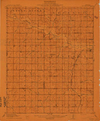
(32)- 1893 Map of Norman
 1893 Norman1893 Print · USGSOklahoma Territory and Indian Territory meet along the river in the late nineteenth century. Trace the early footprints of Norman, Noble, and Purcell along the Atchison Topeka and Santa Fe R. R. and the winding Canadian River.2 unique versions available
 - 1898 Map of Purcell
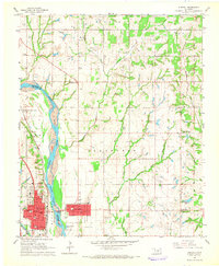
 1898 Purcell1898 Print · USGSOklahoma and Indian Territory are captured at the end of the century during a period of rapid regional expansion. Genealogists and historians can trace the early rail alignment of the G C and S F R R as it passes through Purcell near Walnut Creek.
 - 1910 Map of McComb
 1910 McComb1910 Print · USGSPottawatomie County was still transitioning from territorial days when this survey recorded its burgeoning rail towns and rural school districts. Researchers can find early landmarks like Solomons Temple School and Tribbey, or trace the path of the AT&SF RR through the local landscape.2 unique versions available
 - 1936 Map of Norman
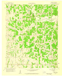
 1936 Norman1936 Print · USGSThe river valley between Norman and Purcell is captured here in the mid-1930s as the railroad and river define local growth. Genealogists can trace family footprints across dozens of rural landmarks, from the University of Oklahoma to local schools like Goldsby Sch and Lone Star Sch.5 unique versions available
 - 1954 Map of Oklahoma City
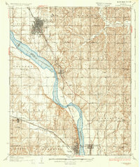
 1954 Oklahoma City1954 Print · USGSOklahoma City and its surrounding counties are captured here in the early fifties during a period of significant postwar growth. Researchers can trace the development of the Turner Turnpike and locate aviation hubs like Tinker Field or Will Rogers Field.
 - 1957 Map of Oklahoma City, 1969 Print
 1957 Oklahoma City1969 Print · USGSCentral Oklahoma is captured here in a period of significant mid-century growth and industrialization. Researchers can trace family roots through numerous rural markers like Memory Lane Cem, New Hope School, and the sprawling grounds of Tinker Air Force Base.3 unique versions available
 - 1958 Map of Little Axe, 1959 Print
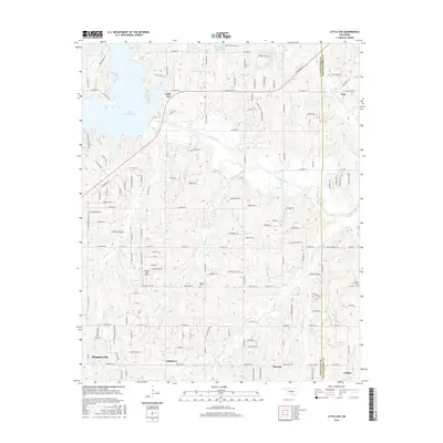
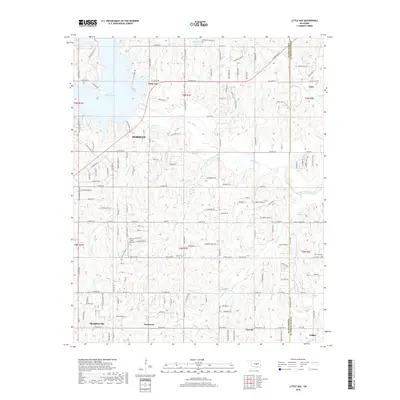
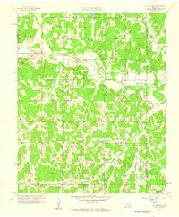 1958 Little Axe1959 Print · USGSCleveland County was a landscape of small missions and creek-side settlements in the late fifties, before significant modern expansion. Genealogists can locate family landmarks like Little Jim Mission, Etowah Church, and the Bethel Cemetery.5 unique versions available
 - 1958 Map of Eason, 1959 Print
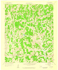 1958 Eason1959 Print · USGSCleveland and Pottawatomie counties in the late fifties show a landscape of rural schoolhouses and emerging infrastructure. Genealogists can locate family landmarks like Metcalf Cemetery, Shiloh Church, and the Griffin Memorial Hospital Annex.3 unique versions available
 - 1958 Map of Denver, 1959 Print
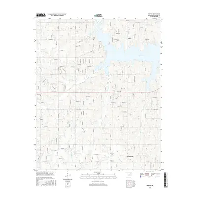
 1958 Denver1959 Print · USGSCleveland County was a landscape of rural schools and early oil exploration in the late fifties. Genealogists and historians can trace the foundations of this community through landmarks like Independence Sch, Liberty Ch, and the Denver Cem.5 unique versions available
 - 1963 Map of Oklahoma City
 1963 Oklahoma City1963 Print · USGSCentral Oklahoma in the early sixties showcases a landscape of rapid suburban growth and established oil production. Researchers can trace historic rail lines like the Chicago Rock Island and Pacific RR or locate rural landmarks such as Mayflower School and Bethel Church.
 - 1965 Map of Purcell, 1966 Print
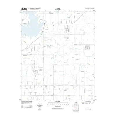
 1965 Purcell1966 Print · USGSThe Canadian River valley in the mid-sixties shows the distinct twin-town relationship between Purcell and Lexington. Genealogists and local historians can trace rural footprints at the Canada Sch, Shilo Ch, and the Indian Treaty Boundary.2 unique versions available
 - 1985 Map of Oklahoma City South
 1985 Oklahoma City South1985 Print · USGSOklahoma City and its southern neighbors show a period of significant growth during the mid-eighties as suburban expansion met rural county lines. Researchers can trace the development of Tinker Air Force Base and locate smaller communities like Goldsby, Stella, and Woody Chapel.2 unique versions available
 - 2009 Map of Little Axe, 2009 Print
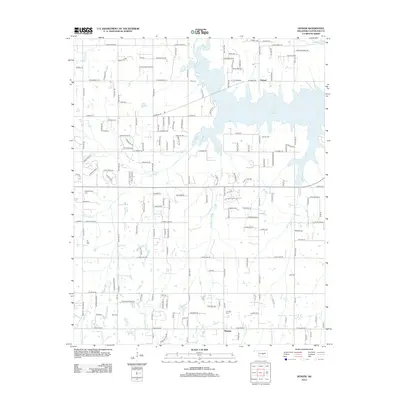
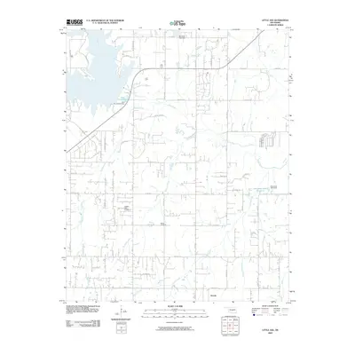 2009 Little Axe2009 Print · USGSCovers Slaughterville, including Norman, Pink, and other nearby areas
 - 2009 Map of Eason, 2009 Print
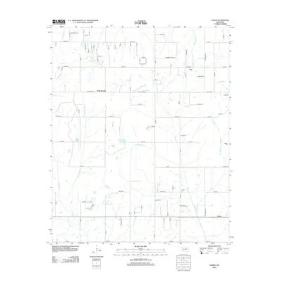
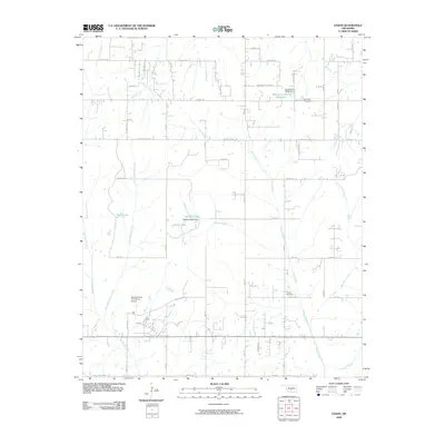 2009 Eason2009 Print · USGSCovers Slaughterville, including Tribbey, Etowah, and other nearby areas
 - 2010 Map of Denver, 2010 Print
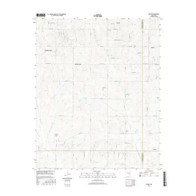
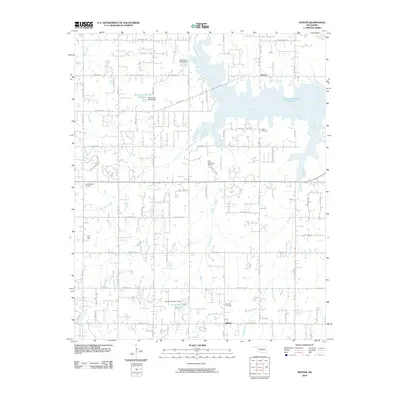 2010 Denver2010 Print · USGSCovers Slaughterville, including Norman, Noble, and other nearby areas
 - 2010 Map of Purcell, 2010 Print
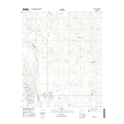
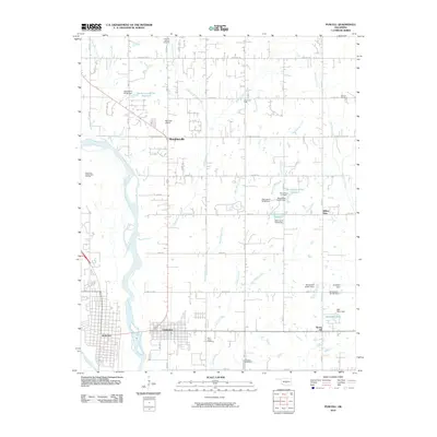 2010 Purcell2010 Print · USGSCovers Slaughterville, including Noble, Purcell, and other nearby areas
 - 2012 Map of Purcell, 2012 Print
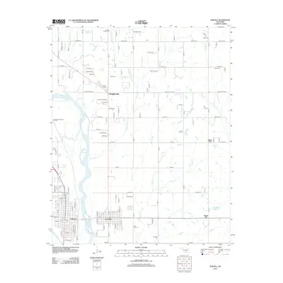 2012 Purcell2012 Print · USGSCovers Slaughterville, including Noble, Purcell, and other nearby areas
 - 2012 Map of Little Axe, 2012 Print
 2012 Little Axe2012 Print · USGSCovers Slaughterville, including Norman, Pink, and other nearby areas
 - 2012 Map of Denver, 2012 Print
 2012 Denver2012 Print · USGSCovers Slaughterville, including Norman, Noble, and other nearby areas
 - 2013 Map of Eason, 2013 Print
 2013 Eason2013 Print · USGSCovers Slaughterville, including Tribbey, Etowah, and other nearby areas
 - 2016 Map of Eason, 2016 Print
 2016 Eason2016 Print · USGSCovers Slaughterville, including Tribbey, Etowah, and other nearby areas
 - 2016 Map of Purcell, 2016 Print
 2016 Purcell2016 Print · USGSCovers Slaughterville, including Noble, Purcell, and other nearby areas
 - 2016 Map of Denver, 2016 Print
 2016 Denver2016 Print · USGSCovers Slaughterville, including Norman, Noble, and other nearby areas
 - 2016 Map of Little Axe, 2016 Print
 2016 Little Axe2016 Print · USGSCovers Slaughterville, including Norman, Pink, and other nearby areas
 - 2018 Map of Little Axe, 2018 Print
 2018 Little Axe2018 Print · USGSCovers Slaughterville, including Norman, Pink, and other nearby areas
Showing maps 1-25 of 32
Top cities near Slaughterville
- Oklahoma City historical maps
- Norman historical maps
- Moore historical maps
- Shawnee historical maps
- Newcastle historical maps
- Noble historical maps
See more
Top neighborhoods of Slaughterville
Frequently asked questions
- What are the different types of historical maps available for Slaughterville?
- What is the oldest map of Slaughterville?
- Where can I purchase historical maps of Slaughterville for my home or office?
- Where can I download high-res historical maps of Slaughterville?
- Are there historical topographic maps available for Slaughterville?
- Is there historical aerial imagery available for Slaughterville?
- Where are historical maps of Slaughterville sourced from?