Old Maps of Faxon, Oklahoma for Academic Research
Study the evolution of Faxon with 9 high-resolution historic maps. Whether you're teaching, researching, or modeling changes in land use, these maps provide essential visual documentation of urban, environmental, and geographic change.
- Analyze long-term change: Track patterns in development, transportation, and natural features.
- Ideal for environmental or urban studies: Support academic projects with primary historical map data.
- Use in the classroom or lab: Educators and researchers rely on these maps to bring historical context to life.
These maps are a powerful tool for teaching, research, and visualizing how Faxon has changed over the decades.
Faxon, OK maps
(9)- 1955 Map of Lawton, 1958 Print
 1955 Lawton1958 Print · USGSSouthwestern Oklahoma and North Texas are shown here in the mid-fifties, dominated by the Wichita Mountains and the vital Red River watershed. Genealogists and historians can trace the foundations of Lawton alongside rural landmarks like Rainy Mountain Church and Pleasant Hill School.5 unique versions available
 - 1962 Map of Chattanooga, 1964 Print
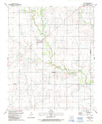
 1962 Chattanooga1964 Print · USGSThe rural plains of Comanche and Tillman counties are captured here in the early 1960s. Genealogists and local historians can trace the foundations of Faxon and Chattanooga, along with landmarks like Ahpeatone Sch, Bible Ch, and the Chattanooga Cem.
 - 1985 Map of Burkburnett, 1986 Print
 1985 Burkburnett1986 Print · USGSThe Red River valley and North Texas oil fields are captured here in the mid-eighties, showing the vital connection between military hubs and rail towns. Researchers can trace the path of the Missouri Kansas Texas railroad through Burkburnett or locate Waurika Lake and Sheppard Air Force Base.2 unique versions available
 - 1987 Map of Faxon
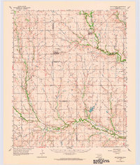
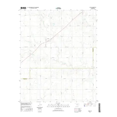
 1987 Faxon1987 Print · USGSSouthwestern Oklahoma near the Comanche and Cotton county line is captured in the late eighties as a quiet agricultural landscape. Genealogists can locate Faxon Cem and trace rural property lines near Faxon and the West Cache Creek drainage.
 - 2009 Map of Faxon, 2009 Print
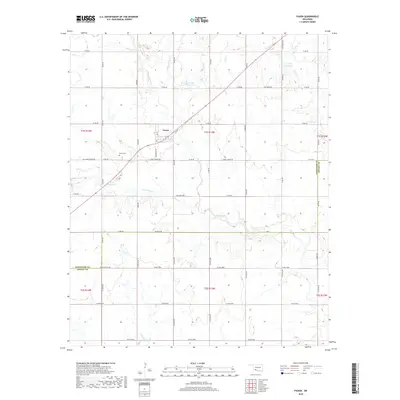
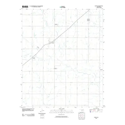 2009 Faxon2009 Print · USGSCovers Faxon, including Comanche County, Cotton County, and other nearby areas
 - 2012 Map of Faxon, 2012 Print
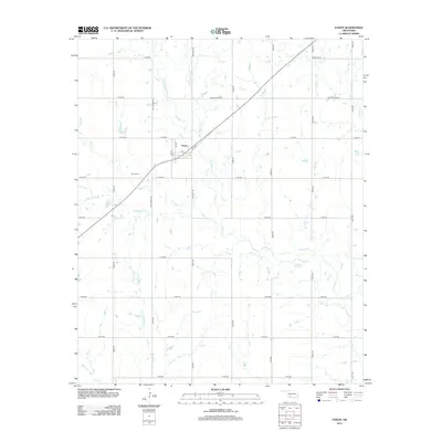 2012 Faxon2012 Print · USGSCovers Faxon, including Comanche County, Cotton County, and other nearby areas
 - 2016 Map of Faxon, 2016 Print
 2016 Faxon2016 Print · USGSCovers Faxon, including Comanche County, Cotton County, and other nearby areas
 - 2018 Map of Faxon, 2018 Print
 2018 Faxon2018 Print · USGSCovers Faxon, including Comanche County, Cotton County, and other nearby areas
 - 2022 Map of Faxon, 2022 Print
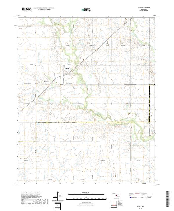 2022 Faxon2022 Print · USGSFaxon and the surrounding Comanche County prairie are captured here in the early twenty-first century. Researchers can locate family plots at Faxon Cem and trace the drainage of the local watershed along W Cache Cr and Blue Beaver Cr.
End of results
Showing maps 1-9 of 9
Top cities near Faxon
- Lawton historical maps
- Walters historical maps
- Cache historical maps
- Geronimo historical maps
- Grandfield historical maps
- Chattanooga historical maps
See more
Frequently asked questions
- What are the different types of historical maps available for Faxon?
- What is the oldest map of Faxon?
- Where can I purchase historical maps of Faxon for my home or office?
- Where can I download high-res historical maps of Faxon?
- Are there historical topographic maps available for Faxon?
- Is there historical aerial imagery available for Faxon?
- Where are historical maps of Faxon sourced from?