Old Maps of Pig Farm Crossing, Lawton for Hiking & Exploration
Hike through history with 12 historic maps of Pig Farm Crossing. Explore old trails, ghost towns, and forgotten backroads — perfect for outdoor adventurers and local explorers.
- Rediscover forgotten places: Map out old mining camps, roads, and footpaths that no longer exist on modern maps.
- Layer with modern tools: Combine with LiDAR or satellite views to plan hikes through historical terrain.
- Made for exploration: Popular among hikers, overlanders, and local history lovers.
Use these maps to find adventure and explore the hidden past of Pig Farm Crossing.
Pig Farm Crossing, Lawton maps
(12)- 1946 Map of Lawton
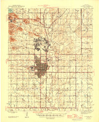 1946 Lawton1946 Print · USGSOklahoma’s military and agricultural heritage is on full display in the mid-1940s as the city of Lawton expands south of Fort Sill. Researchers can trace rural school districts like Flower Mound Sch or locate landmarks such as the Cameron State Agricultural College.2 unique versions available
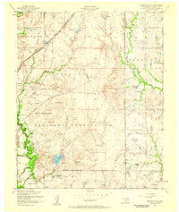
 - 1949 Map of Arbuckle Hill, 1953 Print
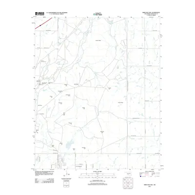
 1949 Arbuckle Hill1953 Print · USGSComanche County is shown in the late 1940s as a landscape defined by the expansive Fort Sill grounds and Indigenous heritage. Researchers can trace land use through landmarks like the Indian School, Indian Cem, and the St Louis San Francisco rail line.2 unique versions available
 - 1955 Map of Lawton, 1958 Print
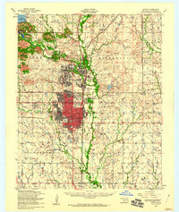
 1955 Lawton1958 Print · USGSSouthwestern Oklahoma and North Texas are shown here in the mid-fifties, dominated by the Wichita Mountains and the vital Red River watershed. Genealogists and historians can trace the foundations of Lawton alongside rural landmarks like Rainy Mountain Church and Pleasant Hill School.5 unique versions available
 - 1956 Map of Arbuckle Hill, 1959 Print
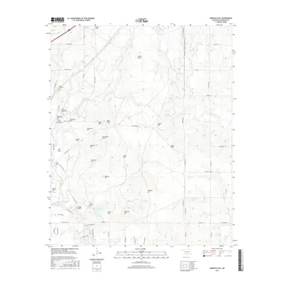
 1956 Arbuckle Hill1959 Print · USGSMid-century Comanche County is shown here during a period of heavy military and industrial activity. Genealogists and researchers can locate the Fort Sill Indian School, the Indian Cemetery, and oil operations near Zella.4 unique versions available
 - 1956 Map of Lawton, 1960 Print
 1956 Lawton1960 Print · USGSOklahoma's military and tribal heritage are on full display during the mid-fifties as Lawton grows alongside the sprawling Fort Sill. Genealogists and historians can trace Indian Cemetery, the Mt Scott Comanche Mission, and family landmarks like Mercer-Minnieua Pond.
 - 1981 Map of Lawton
 1981 Lawton1981 Print · USGSSouthwestern Oklahoma in the early eighties shows a landscape shaped by military history and the rising peaks of the Wichitas. Researchers can trace the boundaries of the Fort Sill Military Reservation and locate early settlements like Meers, Chattanooga, and Richards Spur.
 - 1991 Map of Arbuckle Hill
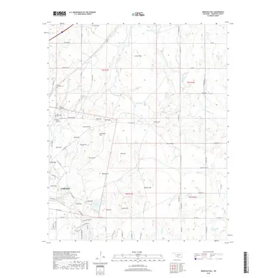
 1991 Arbuckle Hill1991 Print · USGSOklahoma's military heartland is captured here during the late twentieth century, showing the intersection of historic training grounds and local genealogy. Researchers can trace the perimeter of the Fort Sill Military Reservation and locate old burials at Beef Creek Cem or Balitsos South Cem.
 - 2009 Map of Arbuckle Hill, 2009 Print
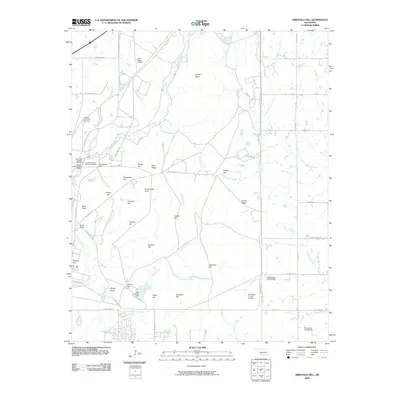 2009 Arbuckle Hill2009 Print · USGSCovers Pig Farm Crossing, including Lawton, South East Corner Landing Strip, and other nearby areas
 - 2012 Map of Arbuckle Hill, 2012 Print
 2012 Arbuckle Hill2012 Print · USGSCovers Pig Farm Crossing, including Lawton, South East Corner Landing Strip, and other nearby areas
 - 2016 Map of Arbuckle Hill, 2016 Print
 2016 Arbuckle Hill2016 Print · USGSCovers Pig Farm Crossing, including Lawton, South East Corner Landing Strip, and other nearby areas
 - 2018 Map of Arbuckle Hill, 2018 Print
 2018 Arbuckle Hill2018 Print · USGSCovers Pig Farm Crossing, including Lawton, South East Corner Landing Strip, and other nearby areas
 - 2022 Map of Arbuckle Hill, 2022 Print
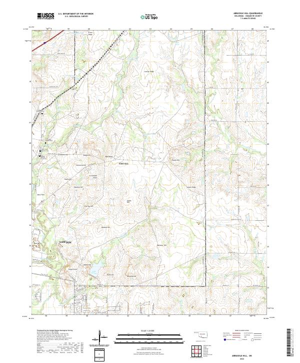 2022 Arbuckle Hill2022 Print · USGSNorth of Lawton in the 2020s, this landscape preserves significant indigenous landmarks and high-country terrain. Genealogists and historians can locate several burial grounds like Otipoby Comanche Cem and Beef Creek Apache Cem alongside landmarks such as Geronimo Hill.
End of results
Showing maps 1-12 of 12
Top cities near Pig Farm Crossing
- Lawton historical maps
- Cache historical maps
- Elgin historical maps
- Geronimo historical maps
- Fletcher historical maps
- Central High historical maps
See more
Frequently asked questions
- What are the different types of historical maps available for Pig Farm Crossing?
- What is the oldest map of Pig Farm Crossing?
- Where can I purchase historical maps of Pig Farm Crossing for my home or office?
- Where can I download high-res historical maps of Pig Farm Crossing?
- Are there historical topographic maps available for Pig Farm Crossing?
- Is there historical aerial imagery available for Pig Farm Crossing?
- Where are historical maps of Pig Farm Crossing sourced from?