Old Maps of Hollow, Oklahoma for Academic Research
Study the evolution of Hollow with 12 high-resolution historic maps. Whether you're teaching, researching, or modeling changes in land use, these maps provide essential visual documentation of urban, environmental, and geographic change.
- Analyze long-term change: Track patterns in development, transportation, and natural features.
- Ideal for environmental or urban studies: Support academic projects with primary historical map data.
- Use in the classroom or lab: Educators and researchers rely on these maps to bring historical context to life.
These maps are a powerful tool for teaching, research, and visualizing how Hollow has changed over the decades.
Hollow, OK maps
(12)- 1901 Map of Vinita
 1901 Vinita1901 Print · USGSIndian Territory at the turn of the century shows a landscape of burgeoning railroad towns and Cherokee Nation settlements. Genealogists can trace family roots in early townsites like Vinita, Bluejacket, and Chelsea or locate rural homesteads near Cabin Creek.2 unique versions available
 - 1913 Map of Vinita
 1913 Vinita1913 Print · USGSNortheast Oklahoma at the height of its rail-and-ranch era is meticulously detailed here just as the state was entering its second decade. Genealogists can trace family roots through dozens of local landmarks like W H School, Big Cabin, and the Blue Hawk School.3 unique versions available
 - 1954 Map of Tulsa
 1954 Tulsa1954 Print · USGSNortheast Oklahoma and the Ozark border are shown here during a period of massive industrial and infrastructure growth. Researchers can trace the legacy of the Tri-State Mining District and the development of major reservoirs like Grand Lake O' The Cherokees.2 unique versions available
 - 1958 Map of Tulsa, 1968 Print
 1958 Tulsa1968 Print · USGSNortheast Oklahoma and the Ozark borderlands are captured here during a massive era of reservoir construction and highway expansion. Researchers can trace the mid-century footprints of Tulsa, the sprawling Lake O' the Cherokees, and historical sites like Pea Ridge National Military Park.3 unique versions available
 - 1963 Map of Tulsa
 1963 Tulsa1963 Print · USGSThe Oklahoma and Arkansas borderlands are shown here in the early sixties, a time of massive reservoir construction and heavy mining. Genealogists can trace family roots through settlements like Nowata, Pryor, and Jay, or locate historical zinc and lead mines and coal mines.
 - 1972 Map of Hollow, 1974 Print
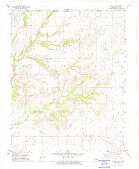 1972 Hollow1974 Print · USGSThe Oklahoma-Kansas borderlands come into focus in the early 1970s, showing a landscape shaped by local watercourses and rural industry. Genealogists and historians can trace the small communities of Hollow and Banzet, or locate the Sunshine Bible Ch and Ideal Sch.
 - 1985 Map of Bartlesville
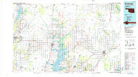 1985 Bartlesville1985 Print · USGSNortheastern Oklahoma in the mid-eighties shows a landscape defined by the Verdigris River and a complex rail network. Researchers can trace the industrial footprint of Strip Mines and find old rail hubs in Nowata and Vinita.2 unique versions available
 - 2010 Map of Hollow, 2010 Print
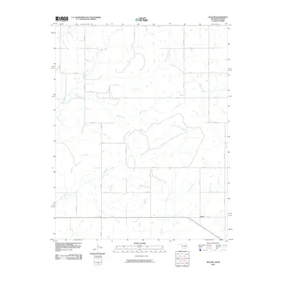 2010 Hollow2010 Print · USGSHollow and the surrounding rural landscape of northeast Oklahoma are captured here in the early twenty-first century. Researchers can trace the intersections of the regional road grid with long-standing watercourses like Big Cabin Creek, Clear Creek, and Boggs Branch.
 - 2012 Map of Hollow, 2012 Print
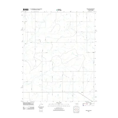 2012 Hollow2012 Print · USGSOklahoma's borderlands near the Kansas line are captured here in the early twenty-first century, showcasing a landscape of section-line roads and prairie streams. Genealogists and local historians can locate Petitt Cem and trace the small rural communities of Hollow and Banzet.
 - 2016 Map of Hollow, 2016 Print
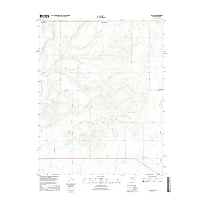 2016 Hollow2016 Print · USGSCraig County, Oklahoma, is documented here in the mid-2010s, showcasing the traditional section-line homesteads and creek-cut prairies near the Kansas border. Genealogists and local historians can locate Petitt Cem and trace the rural community of Banzet alongside waterways like Big Cabin Cr.
 - 2018 Map of Hollow, 2018 Print
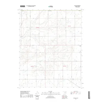 2018 Hollow2018 Print · USGSThe rural terrain of Craig County is captured here in the late 2010s, showing the agricultural network around the settlement of Hollow. Genealogists and local historians can trace family roots at Petitt Cem or follow the paths of Big Cabin Cr and Boggs Br.
 - 2022 Map of Hollow, 2022 Print
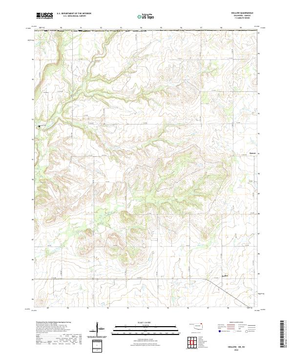 2022 Hollow2022 Print · USGSNortheastern Oklahoma near the Kansas line appears as a grid of rural homesteads and winding waterways in the early 2020s. Genealogists can locate Petit Cemetery and trace the paths of Big Cabin Creek and Hollow.
End of results
Showing maps 1-12 of 12
Top cities near Hollow
- Vinita historical maps
- Chetopa historical maps
- Welch historical maps
- Edna historical maps
- Bluejacket historical maps
- Bartlett historical maps
Frequently asked questions
- What are the different types of historical maps available for Hollow?
- What is the oldest map of Hollow?
- Where can I purchase historical maps of Hollow for my home or office?
- Where can I download high-res historical maps of Hollow?
- Are there historical topographic maps available for Hollow?
- Is there historical aerial imagery available for Hollow?
- Where are historical maps of Hollow sourced from?