Old Maps of Anthon, Oklahoma for Metal Detecting
Plan your next treasure hunt with 12 historic maps of Anthon. Find old homesites, ghost towns, trails, and gathering spots that may be lost to time — perfect for identifying promising metal detecting locations.
- Locate forgotten sites: Uncover places like long-lost settlements, abandoned rail lines, or gathering spots.
- Plan better hunts: Use map overlays combined with LiDAR or satellite views to narrow in on historically rich areas.
- Made for detectorists: Thousands of hobbyists use these maps to discover relics, coins, and hidden history.
Use these historic maps to boost your research and find new opportunities beneath the surface of Anthon.
Anthon, OK maps
(12)- 1955 Map of Clinton, 1964 Print
 1955 Clinton1964 Print · USGSWestern Oklahoma during the mid-century transition shows a landscape of growing reservoirs and active military flight lines. Genealogists and historians can locate rural landmarks such as Mountain View Church, Berlin School, and the Riverside Indian School Reserve.3 unique versions available
 - 1957 Map of Clinton
 1957 Clinton1957 Print · USGSWestern Oklahoma in the mid-fifties is captured here as a landscape of river-valley settlements and emerging energy fields. Genealogists can trace family roots through numerous rural landmarks like the Swapping Back Indian School, Hebron Church, and the Riverside Indian School Reserve.
 - 1957 Map of Butler, 1958 Print
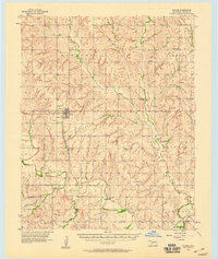 1957 Butler1958 Print · USGSCuster County in the late fifties shows a rural landscape defined by the Washita River and the Santa Fe railroad. Researchers can trace family history through numerous rural landmarks like Prairie View Ch, Anthon Cem, and the village of Stafford.2 unique versions available
 - 1976 Map of Butler NE
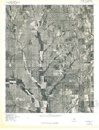 1976 Butler NE1976 Print · USGSCuster County land patterns are captured in the mid-1970s through this detailed orthophoto study of central Oklahoma. Researchers can examine the natural drainage and land use along East Barnitz Creek and West Barnitz Creek.
 - 1983 Map of Anthon, 1984 Print
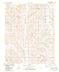 1983 Anthon1984 Print · USGSIn the early 1980s, this area of western Oklahoma was a landscape where deep-rooted rural life met the expanding energy industry. Researchers can trace the heritage of Anthon through landmarks like Vicksburg Ch, Sare Cem, and the winding Barnitz Creek.
 - 1984 Map of Foss Reservoir
 1984 Foss Reservoir1984 Print · USGSWestern Oklahoma’s river valleys and prairie grasslands are captured here in the mid-eighties, a period of established reservoirs and active energy production. Researchers can trace rural lineages through local hubs like Cheyenne and Hammon or locate landmarks such as the Antelope Hills and Foss Reservoir.
 - 1990 Map of Foss Reservoir, 1991 Print
 1990 Foss Reservoir1991 Print · USGSWestern Oklahoma’s prairie and river systems are shown here as they appeared in the 1990s, dominated by conservation lands and water management. Researchers can trace the rail paths of the Atchison Topeka and Santa Fe and locate old rural centers like Strong City and Hammon.
 - 2010 Map of Anthon, 2010 Print
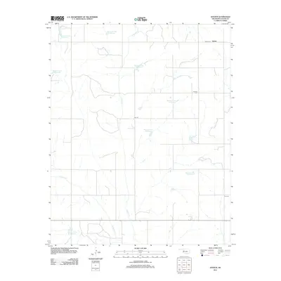
 2010 Anthon2010 Print · USGSCovers Anthon, including Custer County, United States, and other nearby areas
 - 2012 Map of Anthon, 2012 Print
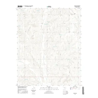
 2012 Anthon2012 Print · USGSCovers Anthon, including Custer County, United States, and other nearby areas
 - 2016 Map of Anthon, 2016 Print
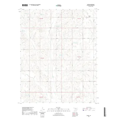
 2016 Anthon2016 Print · USGSCovers Anthon, including Custer County, United States, and other nearby areas
 - 2018 Map of Anthon, 2018 Print
 2018 Anthon2018 Print · USGSCovers Anthon, including Custer County, United States, and other nearby areas
 - 2022 Map of Anthon, 2022 Print
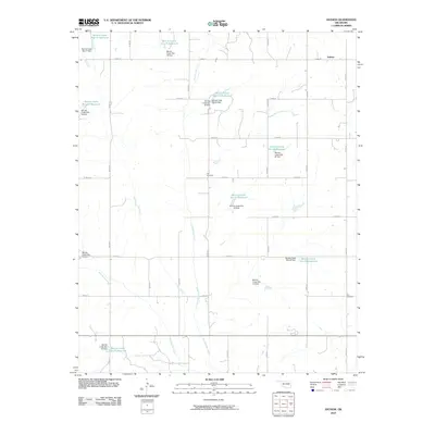
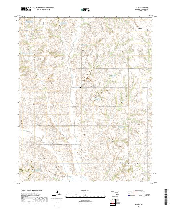 2022 Anthon2022 Print · USGSWestern Oklahoma ranching and farmland are meticulously detailed in this recent survey of the Anthon area. Researchers can trace local genealogy through Anthon Cem and Vicksburg Cem while exploring the many reservoirs like Barnitz Cr Site 65 Reservoir.
End of results
Showing maps 1-12 of 12
Top cities near Anthon
- Clinton historical maps
- Arapaho historical maps
- Custer City historical maps
- Butler historical maps
- Putnam historical maps
Frequently asked questions
- What are the different types of historical maps available for Anthon?
- What is the oldest map of Anthon?
- Where can I purchase historical maps of Anthon for my home or office?
- Where can I download high-res historical maps of Anthon?
- Are there historical topographic maps available for Anthon?
- Is there historical aerial imagery available for Anthon?
- Where are historical maps of Anthon sourced from?