Old Maps of East Junction, Clinton for Hiking & Exploration
Hike through history with 11 historic maps of East Junction. Explore old trails, ghost towns, and forgotten backroads — perfect for outdoor adventurers and local explorers.
- Rediscover forgotten places: Map out old mining camps, roads, and footpaths that no longer exist on modern maps.
- Layer with modern tools: Combine with LiDAR or satellite views to plan hikes through historical terrain.
- Made for exploration: Popular among hikers, overlanders, and local history lovers.
Use these maps to find adventure and explore the hidden past of East Junction.
East Junction, Clinton maps
(11)- 1955 Map of Clinton, 1964 Print
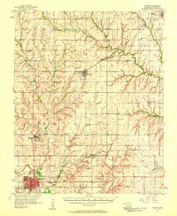
 1955 Clinton1964 Print · USGSWestern Oklahoma during the mid-century transition shows a landscape of growing reservoirs and active military flight lines. Genealogists and historians can locate rural landmarks such as Mountain View Church, Berlin School, and the Riverside Indian School Reserve.3 unique versions available
 - 1957 Map of Clinton
 1957 Clinton1957 Print · USGSWestern Oklahoma in the mid-fifties is captured here as a landscape of river-valley settlements and emerging energy fields. Genealogists can trace family roots through numerous rural landmarks like the Swapping Back Indian School, Hebron Church, and the Riverside Indian School Reserve.
 - 1957 Map of Clinton, 1958 Print
 1957 Clinton1958 Print · USGSCuster County was a thriving network of rail-side towns and rural school districts during the mid-fifties. Genealogists can trace family names through the Masonic Cem and Independence Cem, while collectors can map the route of the St Louis and San Francisco railroad.2 unique versions available
 - 1976 Map of Clinton SW
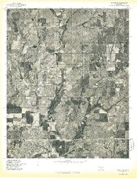 1976 Clinton SW1976 Print · USGSCuster County comes into sharp focus during the mid-seventies in this detailed aerial study of the Oklahoma prairie. You can trace the winding Washita River and the 1970s boundaries of Clinton and Arapaho during a period of agricultural growth.
 - 1983 Map of Clinton, 1984 Print
 1983 Clinton1984 Print · USGSCuster County in the early eighties centers on the industrial and rail hubs of the Washita River valley. Genealogists and local historians can trace the foundations of Arapaho and Clinton, locating the Courthouse, Arapaho Cem, and neighborhood schools like Nance Sch.
 - 1985 Map of Watonga
 1985 Watonga1985 Print · USGSCentral Oklahoma in the mid-eighties shows a robust network of river-valley settlements and rural rail lines. Genealogists and historians can trace the footprint of Southwestern State College, the historic Fort Reno, and family-named landmarks like Dead Women Crossing.2 unique versions available
 - 2010 Map of Clinton, 2010 Print
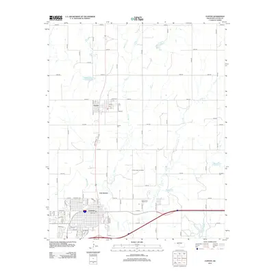
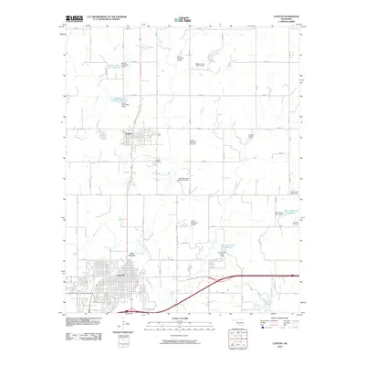 2010 Clinton2010 Print · USGSCovers East Junction, including Clinton, Arapaho, and other nearby areas
 - 2012 Map of Clinton, 2012 Print
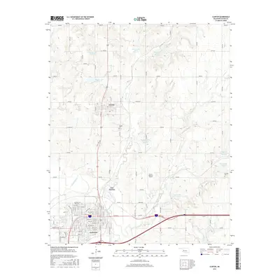
 2012 Clinton2012 Print · USGSCovers East Junction, including Clinton, Arapaho, and other nearby areas
 - 2016 Map of Clinton, 2016 Print
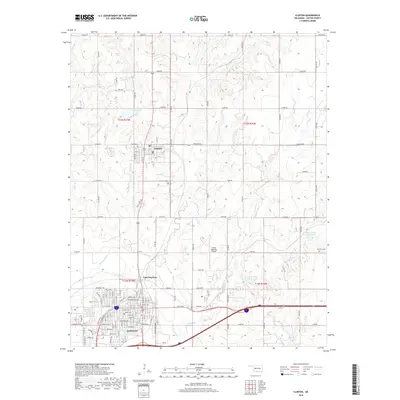
 2016 Clinton2016 Print · USGSCovers East Junction, including Clinton, Arapaho, and other nearby areas
 - 2018 Map of Clinton, 2018 Print
 2018 Clinton2018 Print · USGSCovers East Junction, including Clinton, Arapaho, and other nearby areas
 - 2022 Map of Clinton, 2022 Print
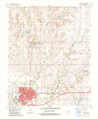
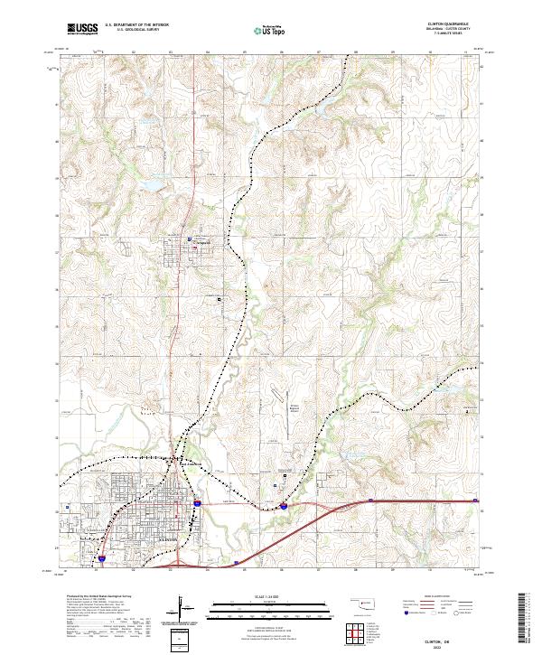 2022 Clinton2022 Print · USGSCuster County life centers on the neighboring towns of Clinton and Arapaho in the early twenty-first century. Genealogists and local historians can trace the precise locations of the Custer County Courthouse and several local burial grounds, including the Clinton Indian Hospital Cem.
End of results
Showing maps 1-11 of 11
Top cities near East Junction
- Clinton historical maps
- New Cordell historical maps
- Burns Flat historical maps
- Thomas historical maps
- Arapaho historical maps
- Corn historical maps
See more
Frequently asked questions
- What are the different types of historical maps available for East Junction?
- What is the oldest map of East Junction?
- Where can I purchase historical maps of East Junction for my home or office?
- Where can I download high-res historical maps of East Junction?
- Are there historical topographic maps available for East Junction?
- Is there historical aerial imagery available for East Junction?
- Where are historical maps of East Junction sourced from?