Old Maps of Dead Women Crossing, Oklahoma for Genealogy
Trace your family roots with 10 historic maps of Dead Women Crossing. These high-res maps reveal old neighborhoods, homesites, landmarks, and streets — helping you uncover where your ancestors lived and how the area evolved over time.
- Explore historic neighborhoods: Identify where your relatives may have lived in the 1800s or 1900s.
- Compare maps over time: Trace the changes in streets, buildings, and landmarks for multi-generational research.
- Perfect for genealogy & ancestry research: Used by family historians and researchers to map out lineage and migration.
These maps are an incredible resource for exploring your personal connection to Dead Women Crossing's past.
Dead Women Crossing, OK maps
(10)- 1955 Map of Clinton, 1964 Print
 1955 Clinton1964 Print · USGSWestern Oklahoma during the mid-century transition shows a landscape of growing reservoirs and active military flight lines. Genealogists and historians can locate rural landmarks such as Mountain View Church, Berlin School, and the Riverside Indian School Reserve.3 unique versions available
 - 1957 Map of Clinton
 1957 Clinton1957 Print · USGSWestern Oklahoma in the mid-fifties is captured here as a landscape of river-valley settlements and emerging energy fields. Genealogists can trace family roots through numerous rural landmarks like the Swapping Back Indian School, Hebron Church, and the Riverside Indian School Reserve.
 - 1964 Map of Weatherford, 1966 Print
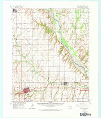 1964 Weatherford1966 Print · USGSWestern Oklahoma life in the mid-sixties centers on the busy railroad corridors and the winding course of the Canadian River. Researchers can trace old family sites like Mound Olive Cem, the Indian Mission Ch, and the evocative Dead Women Crossing.
 - 1985 Map of Weatherford
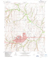 1985 Weatherford1985 Print · USGSWeatherford expanded as a center of education and industry in Western Oklahoma during the mid-eighties. Researchers can locate local landmarks like Southwestern State Univ, the Thomas P Stafford Airport, and historic burial grounds including Bradley Cem.
 - 1985 Map of Watonga
 1985 Watonga1985 Print · USGSCentral Oklahoma in the mid-eighties shows a robust network of river-valley settlements and rural rail lines. Genealogists and historians can trace the footprint of Southwestern State College, the historic Fort Reno, and family-named landmarks like Dead Women Crossing.2 unique versions available
 - 2010 Map of Weatherford, 2010 Print
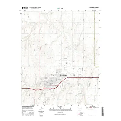
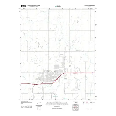 2010 Weatherford2010 Print · USGSCovers Dead Women Crossing, including Weatherford, Custer County, and other nearby areas
 - 2012 Map of Weatherford, 2012 Print
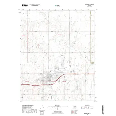
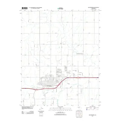 2012 Weatherford2012 Print · USGSCovers Dead Women Crossing, including Weatherford, Custer County, and other nearby areas
 - 2016 Map of Weatherford, 2016 Print
 2016 Weatherford2016 Print · USGSCovers Dead Women Crossing, including Weatherford, Custer County, and other nearby areas
 - 2018 Map of Weatherford, 2018 Print
 2018 Weatherford2018 Print · USGSCovers Dead Women Crossing, including Weatherford, Custer County, and other nearby areas
 - 2022 Map of Weatherford, 2022 Print
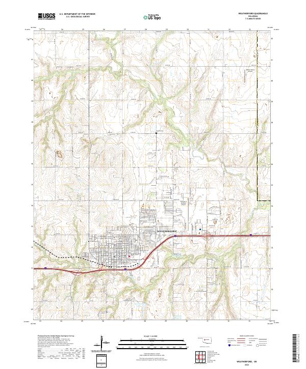 2022 Weatherford2022 Print · USGSWeatherford and the surrounding Custer County plains are shown in high detail during this contemporary era. Genealogists and local historians can locate Greenwood Cem, the Southwestern Oklahoma State University campus, and the path of the iconic Rte 66 Hwy.
End of results
Showing maps 1-10 of 10
Top cities near Dead Women Crossing
- Weatherford historical maps
- Clinton historical maps
- Thomas historical maps
- Corn historical maps
- Colony historical maps
Frequently asked questions
- What are the different types of historical maps available for Dead Women Crossing?
- What is the oldest map of Dead Women Crossing?
- Where can I purchase historical maps of Dead Women Crossing for my home or office?
- Where can I download high-res historical maps of Dead Women Crossing?
- Are there historical topographic maps available for Dead Women Crossing?
- Is there historical aerial imagery available for Dead Women Crossing?
- Where are historical maps of Dead Women Crossing sourced from?