Old Maps of Independence, Oklahoma for Academic Research
Study the evolution of Independence with 11 high-resolution historic maps. Whether you're teaching, researching, or modeling changes in land use, these maps provide essential visual documentation of urban, environmental, and geographic change.
- Analyze long-term change: Track patterns in development, transportation, and natural features.
- Ideal for environmental or urban studies: Support academic projects with primary historical map data.
- Use in the classroom or lab: Educators and researchers rely on these maps to bring historical context to life.
These maps are a powerful tool for teaching, research, and visualizing how Independence has changed over the decades.
Independence, OK maps
(11)- 1955 Map of Clinton, 1964 Print
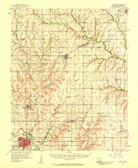
 1955 Clinton1964 Print · USGSWestern Oklahoma during the mid-century transition shows a landscape of growing reservoirs and active military flight lines. Genealogists and historians can locate rural landmarks such as Mountain View Church, Berlin School, and the Riverside Indian School Reserve.3 unique versions available
 - 1957 Map of Clinton
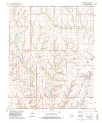
 1957 Clinton1957 Print · USGSWestern Oklahoma in the mid-fifties is captured here as a landscape of river-valley settlements and emerging energy fields. Genealogists can trace family roots through numerous rural landmarks like the Swapping Back Indian School, Hebron Church, and the Riverside Indian School Reserve.
 - 1957 Map of Clinton, 1958 Print
 1957 Clinton1958 Print · USGSCuster County was a thriving network of rail-side towns and rural school districts during the mid-fifties. Genealogists can trace family names through the Masonic Cem and Independence Cem, while collectors can map the route of the St Louis and San Francisco railroad.2 unique versions available
 - 1976 Map of Clinton NW
 1976 Clinton NW1976 Print · USGSCuster County land patterns and rural crossroads are captured in detail during the mid-seventies. Local historians can trace the street layouts of Custer City or examine the agricultural developments surrounding Independence.
 - 1983 Map of Custer City, 1984 Print
 1983 Custer City1984 Print · USGSCuster County, Oklahoma, was a thriving agricultural and energy hub in the early 1980s. Researchers can trace local genealogy and land use through the Masonic Cem, the Custer City Sch, and the extensive Atchison Topeka rail line.
 - 1985 Map of Watonga
 1985 Watonga1985 Print · USGSCentral Oklahoma in the mid-eighties shows a robust network of river-valley settlements and rural rail lines. Genealogists and historians can trace the footprint of Southwestern State College, the historic Fort Reno, and family-named landmarks like Dead Women Crossing.2 unique versions available
 - 2010 Map of Custer City, 2010 Print
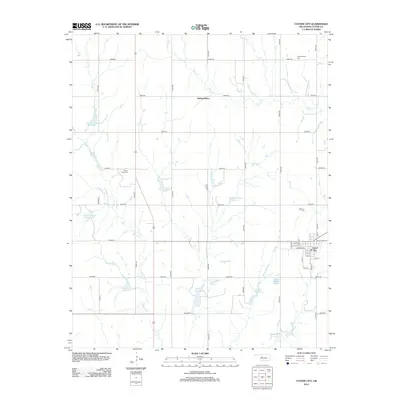
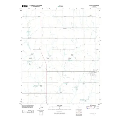 2010 Custer City2010 Print · USGSCovers Independence, including Custer City, Custer County, and other nearby areas
 - 2012 Map of Custer City, 2012 Print
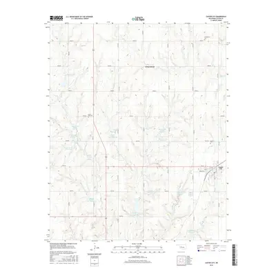
 2012 Custer City2012 Print · USGSCovers Independence, including Custer City, Custer County, and other nearby areas
 - 2016 Map of Custer City, 2016 Print
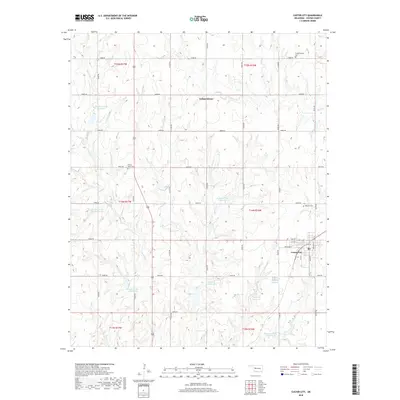
 2016 Custer City2016 Print · USGSCovers Independence, including Custer City, Custer County, and other nearby areas
 - 2018 Map of Custer City, 2018 Print
 2018 Custer City2018 Print · USGSCovers Independence, including Custer City, Custer County, and other nearby areas
 - 2022 Map of Custer City, 2022 Print
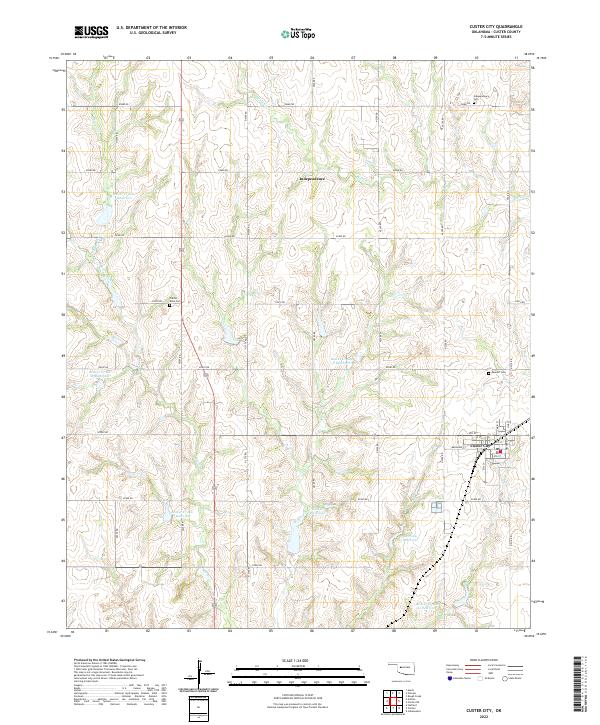 2022 Custer City2022 Print · USGSCuster County's agricultural landscape is documented here in the early twenty-first century, centered on the grid of Custer City. Genealogists can locate family sites near Independence Cem, Prairie View Cem, and the various reservoirs like Haskett Reservoir.
End of results
Showing maps 1-11 of 11
Top cities near Independence
- Weatherford historical maps
- Clinton historical maps
- Thomas historical maps
- Arapaho historical maps
- Custer City historical maps
- Putnam historical maps
Frequently asked questions
- What are the different types of historical maps available for Independence?
- What is the oldest map of Independence?
- Where can I purchase historical maps of Independence for my home or office?
- Where can I download high-res historical maps of Independence?
- Are there historical topographic maps available for Independence?
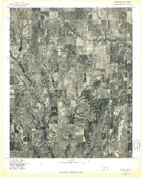
- Is there historical aerial imagery available for Independence?
- Where are historical maps of Independence sourced from?