Old Maps of Stafford, Oklahoma
Explore 12 old maps of Stafford, spanning from 1955 to today. These high-resolution historic maps reveal how streets, neighborhoods, landmarks, and natural features evolved over time — perfect for genealogy, metal detecting, research, and local history exploration.
What you can do with these maps:
- See how Stafford changed over time: Compare historical maps to modern-day views to trace roads, homesites, rail lines & more.
- View detailed metadata: Each map includes creators, publishers, year, scale, and archive source.
- Overlay maps with satellite & LiDAR: Visualize the past alongside modern tools to explore terrain & human change.
- Trusted historical sources: Maps sourced from the USGS, Library of Congress, and other archives.
- Access maps your way: View online, download high-res files, or order prints for personal or research use.
Start exploring old maps of Stafford to uncover forgotten places, hidden landmarks, and the deep history beneath your feet.
Stafford, OK maps
(12)- 1955 Map of Clinton, 1964 Print
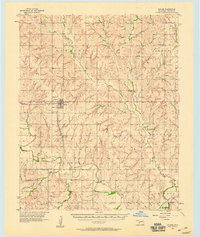
 1955 Clinton1964 Print · USGSWestern Oklahoma during the mid-century transition shows a landscape of growing reservoirs and active military flight lines. Genealogists and historians can locate rural landmarks such as Mountain View Church, Berlin School, and the Riverside Indian School Reserve.3 unique versions available
 - 1957 Map of Clinton
 1957 Clinton1957 Print · USGSWestern Oklahoma in the mid-fifties is captured here as a landscape of river-valley settlements and emerging energy fields. Genealogists can trace family roots through numerous rural landmarks like the Swapping Back Indian School, Hebron Church, and the Riverside Indian School Reserve.
 - 1957 Map of Butler, 1958 Print
 1957 Butler1958 Print · USGSCuster County in the late fifties shows a rural landscape defined by the Washita River and the Santa Fe railroad. Researchers can trace family history through numerous rural landmarks like Prairie View Ch, Anthon Cem, and the village of Stafford.2 unique versions available
 - 1976 Map of Butler SE
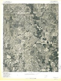 1976 Butler SE1976 Print · USGSCuster County in the mid-seventies is captured in this aerial survey of its farming heartland and river bottoms. Genealogists and local historians can trace the rural landscape around Stafford and Ralph along the Washita River.
 - 1983 Map of Stafford, 1984 Print
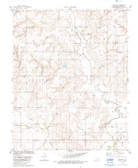 1983 Stafford1984 Print · USGSCuster County's rural landscape is captured here in the early eighties, showing a community built on agriculture and energy. Genealogists and historians can locate Stafford, trace family plots at Valley View Cem, and find landmarks like Sunnyside Community Hall.
 - 1984 Map of Foss Reservoir
 1984 Foss Reservoir1984 Print · USGSWestern Oklahoma’s river valleys and prairie grasslands are captured here in the mid-eighties, a period of established reservoirs and active energy production. Researchers can trace rural lineages through local hubs like Cheyenne and Hammon or locate landmarks such as the Antelope Hills and Foss Reservoir.
 - 1990 Map of Foss Reservoir, 1991 Print
 1990 Foss Reservoir1991 Print · USGSWestern Oklahoma’s prairie and river systems are shown here as they appeared in the 1990s, dominated by conservation lands and water management. Researchers can trace the rail paths of the Atchison Topeka and Santa Fe and locate old rural centers like Strong City and Hammon.
 - 2010 Map of Stafford, 2010 Print
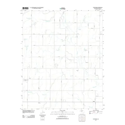
 2010 Stafford2010 Print · USGSCovers Stafford, including Clinton, Ralph, and other nearby areas
 - 2012 Map of Stafford, 2012 Print
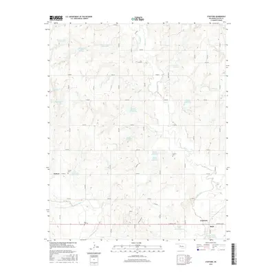
 2012 Stafford2012 Print · USGSCovers Stafford, including Clinton, Ralph, and other nearby areas
 - 2016 Map of Stafford, 2016 Print
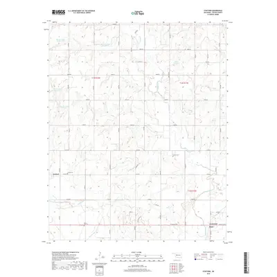
 2016 Stafford2016 Print · USGSCovers Stafford, including Clinton, Ralph, and other nearby areas
 - 2018 Map of Stafford, 2018 Print
 2018 Stafford2018 Print · USGSCovers Stafford, including Clinton, Ralph, and other nearby areas
 - 2022 Map of Stafford, 2022 Print
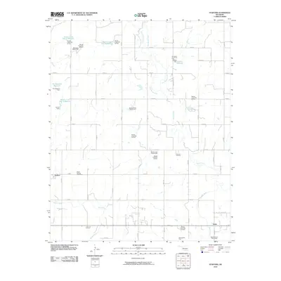
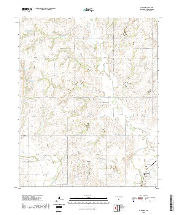 2022 Stafford2022 Print · USGSCuster County land use is on full display in the early twenty-first century, showing the intricate water management of the Washita River valley. Researchers can pinpoint Stafford and Ralph, or trace family sites at Stafford Cem and Cabaniss Cem.
End of results
Showing maps 1-12 of 12
Top cities near Stafford
- Clinton historical maps
- New Cordell historical maps
- Burns Flat historical maps
- Arapaho historical maps
- Canute historical maps
- Custer City historical maps
See more
Frequently asked questions
- What are the different types of historical maps available for Stafford?
- What is the oldest map of Stafford?
- Where can I purchase historical maps of Stafford for my home or office?
- Where can I download high-res historical maps of Stafford?
- Are there historical topographic maps available for Stafford?
- Is there historical aerial imagery available for Stafford?
- Where are historical maps of Stafford sourced from?