Old Maps of Amber, Oklahoma for Academic Research
Study the evolution of Amber with 17 high-resolution historic maps. Whether you're teaching, researching, or modeling changes in land use, these maps provide essential visual documentation of urban, environmental, and geographic change.
- Analyze long-term change: Track patterns in development, transportation, and natural features.
- Ideal for environmental or urban studies: Support academic projects with primary historical map data.
- Use in the classroom or lab: Educators and researchers rely on these maps to bring historical context to life.
These maps are a powerful tool for teaching, research, and visualizing how Amber has changed over the decades.
Amber, OK maps
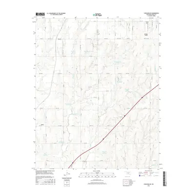
(17)- 1904 Map of Chickasha
 1904 Chickasha1904 Print · USGSIndian Territory and Oklahoma Territory meet in this detailed 1904 survey, showing the region just years before statehood. Genealogists can trace the early rail stops at Minco and Tuttle or locate family homesteads near Womack and Dibble.4 unique versions available
 - 1954 Map of Oklahoma City
 1954 Oklahoma City1954 Print · USGSOklahoma City and its surrounding counties are captured here in the early fifties during a period of significant postwar growth. Researchers can trace the development of the Turner Turnpike and locate aviation hubs like Tinker Field or Will Rogers Field.
 - 1957 Map of Oklahoma City, 1969 Print
 1957 Oklahoma City1969 Print · USGSCentral Oklahoma is captured here in a period of significant mid-century growth and industrialization. Researchers can trace family roots through numerous rural markers like Memory Lane Cem, New Hope School, and the sprawling grounds of Tinker Air Force Base.3 unique versions available
 - 1963 Map of Oklahoma City
 1963 Oklahoma City1963 Print · USGSCentral Oklahoma in the early sixties showcases a landscape of rapid suburban growth and established oil production. Researchers can trace historic rail lines like the Chicago Rock Island and Pacific RR or locate rural landmarks such as Mayflower School and Bethel Church.
 - 1966 Map of Pocasset, 1967 Print
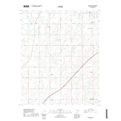
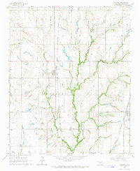 1966 Pocasset1967 Print · USGSGrady County's agricultural heartland is captured here in the mid-sixties, dominated by the rail-lines that fueled its growth. Researchers can trace the Old Indian Territory Boundary Line or locate family sites near Pocasset Cem and the small community of Amber.2 unique versions available
 - 1966 Map of Chickasha NE, 1967 Print
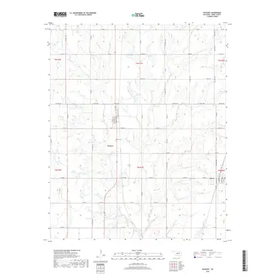
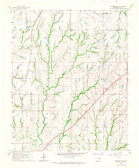 1966 Chickasha NE1967 Print · USGSGrady County in the mid-1960s shows a landscape of rural school districts and evolving transit corridors. You can trace the path of the H E Bailey Toll Road Turnpike or locate the Amber Sch and the settlement of Sooner.2 unique versions available
 - 1985 Map of Oklahoma City South
 1985 Oklahoma City South1985 Print · USGSOklahoma City and its southern neighbors show a period of significant growth during the mid-eighties as suburban expansion met rural county lines. Researchers can trace the development of Tinker Air Force Base and locate smaller communities like Goldsby, Stella, and Woody Chapel.2 unique versions available
 - 2009 Map of Chickasha NE, 2009 Print
 2009 Chickasha NE2009 Print · USGSCovers Amber, including Sooner, Grady County, and other nearby areas
 - 2009 Map of Pocasset, 2009 Print
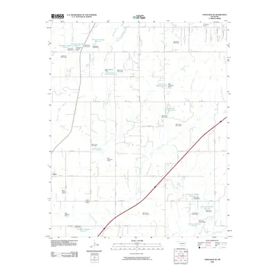
 2009 Pocasset2009 Print · USGSCovers Amber, including Pocasset, Grady County, and other nearby areas
 - 2012 Map of Chickasha NE, 2012 Print
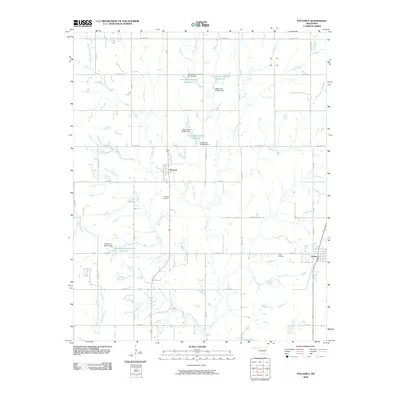
 2012 Chickasha NE2012 Print · USGSCovers Amber, including Sooner, Grady County, and other nearby areas
 - 2012 Map of Pocasset, 2012 Print
 2012 Pocasset2012 Print · USGSCovers Amber, including Pocasset, Grady County, and other nearby areas
 - 2016 Map of Pocasset, 2016 Print
 2016 Pocasset2016 Print · USGSCovers Amber, including Pocasset, Grady County, and other nearby areas
 - 2016 Map of Chickasha NE, 2016 Print
 2016 Chickasha NE2016 Print · USGSCovers Amber, including Sooner, Grady County, and other nearby areas
 - 2018 Map of Chickasha NE, 2018 Print
 2018 Chickasha NE2018 Print · USGSCovers Amber, including Sooner, Grady County, and other nearby areas
 - 2018 Map of Pocasset, 2018 Print
 2018 Pocasset2018 Print · USGSCovers Amber, including Pocasset, Grady County, and other nearby areas
 - 2022 Map of Pocasset, 2022 Print
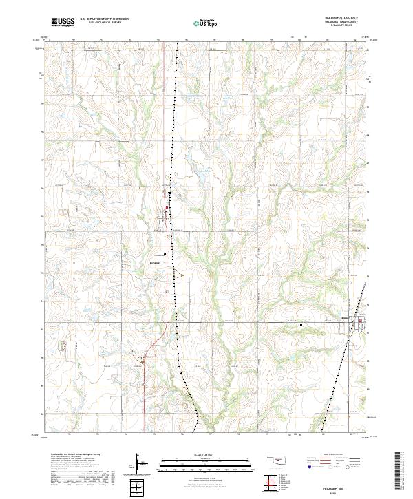 2022 Pocasset2022 Print · USGSThe rural agricultural landscape of Grady County comes into focus in this recent survey. Researchers can trace the section-line roads connecting Pocasset and Amber, locating historical sites like Pocasset Cem and the waters of Salt Cr.
 - 2022 Map of Chickasha NE, 2022 Print
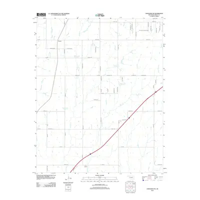
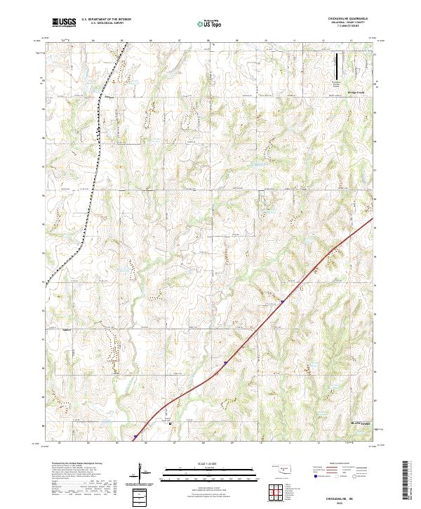 2022 Chickasha NE2022 Print · USGSGrady County's rural landscape is captured here in the early 2020s, showing a region defined by agricultural water management and small-town connections. Genealogists and local historians can locate Brushy Creek Cem or trace the early flight paths near Thompson Private Airport.
End of results
Showing maps 1-17 of 17
Top cities near Amber
- Oklahoma City historical maps
- Mustang historical maps
- Chickasha historical maps
- Newcastle historical maps
- Blanchard historical maps
- Tuttle historical maps
See more
Frequently asked questions
- What are the different types of historical maps available for Amber?
- What is the oldest map of Amber?
- Where can I purchase historical maps of Amber for my home or office?
- Where can I download high-res historical maps of Amber?
- Are there historical topographic maps available for Amber?
- Is there historical aerial imagery available for Amber?
- Where are historical maps of Amber sourced from?