Old Maps of Granite, Oklahoma for Metal Detecting
Plan your next treasure hunt with 14 historic maps of Granite. Find old homesites, ghost towns, trails, and gathering spots that may be lost to time — perfect for identifying promising metal detecting locations.
- Locate forgotten sites: Uncover places like long-lost settlements, abandoned rail lines, or gathering spots.
- Plan better hunts: Use map overlays combined with LiDAR or satellite views to narrow in on historically rich areas.
- Made for detectorists: Thousands of hobbyists use these maps to discover relics, coins, and hidden history.
Use these historic maps to boost your research and find new opportunities beneath the surface of Granite.
Granite, OK maps
(14)- 1955 Map of Lawton, 1958 Print
 1955 Lawton1958 Print · USGSSouthwestern Oklahoma and North Texas are shown here in the mid-fifties, dominated by the Wichita Mountains and the vital Red River watershed. Genealogists and historians can trace the foundations of Lawton alongside rural landmarks like Rainy Mountain Church and Pleasant Hill School.5 unique versions available
 - 1971 Map of Granite, 1973 Print
 1971 Granite1973 Print · USGSGreer County at the start of the seventies features a landscape where the granite peaks of Walsh Mountain meet the Elm Fork Red River. Researchers can trace the massive State Reformatory complex, find Rock Cem, or follow the old Rock Island rail line.
 - 1971 Map of Lake Altus, 1973 Print
 1971 Lake Altus1973 Print · USGSSouthwestern Oklahoma's landscape was defined by massive water projects and rugged granite peaks in the early 1970s. Trace the lakefront of Quartz Mountain Lake, the rails of the Atchison Topeka and Santa Fe, and the townsite of Lugert.
 - 1985 Map of Altus
 1985 Altus1985 Print · USGSSouthwestern Oklahoma in the mid-eighties shows a vast agricultural and military landscape shaped by the Red River forks. Trace the intersections of the Atchison Topeka and Santa Fe railroad with rural points like Fairmount Cem and Duke.2 unique versions available
 - 2010 Map of Lake Altus, 2010 Print
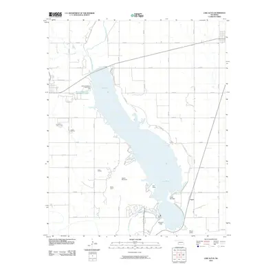 2010 Lake Altus2010 Print · USGSGreer County at the turn of the millennium shows the intersection of the Oklahoma plains and the Wichita Mountains. Genealogists and researchers can locate Granite Cemetery and Quartz Cemetery near the shores of Lake Altus and the settlement of Lugert.
 - 2010 Map of Granite, 2010 Print
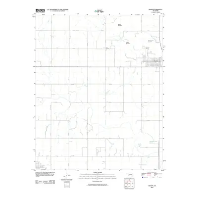 2010 Granite2010 Print · USGSThe community of Granite sits at the base of several granite peaks during the early 2000s. Genealogists and researchers can trace local landmarks like Rock Cemetery, Camp Kate Portwood, and the heights of Headquarters Mountain.
 - 2012 Map of Granite, 2012 Print
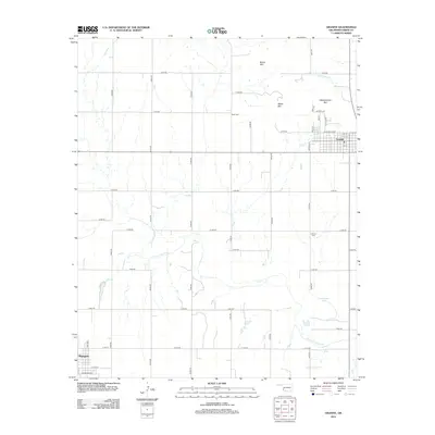 2012 Granite2012 Print · USGSGreer County at the start of the twenty-first century reveals a landscape where the grid of rural roads meets the granite peaks of the Wichita Mountains. Genealogists can locate family sites at Rock Cem and Lutheran Cem near the banks of the Elm Fork Red River.
 - 2012 Map of Lake Altus, 2012 Print
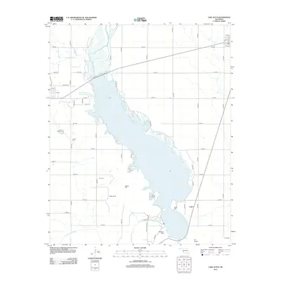 2012 Lake Altus2012 Print · USGSThe granite ridges of southwestern Oklahoma meet the waters of Lake Altus in this 2012 survey of Greer and Kiowa counties. Researchers can locate family sites at Granite Cem or Quartz Cem and trace the original course of the North Fork Red River.
 - 2016 Map of Granite, 2016 Print
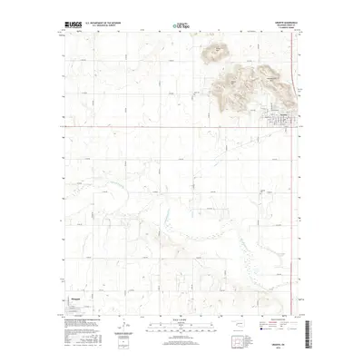 2016 Granite2016 Print · USGSGreer County at the start of the twenty-first century reveals a striking contrast between the granite outcrops of the Wichita Mountains and the river valleys below. Researchers can trace local burial sites like Rock Cem and landforms such as Brown Mtn and the Elm Fork Red River.
 - 2016 Map of Lake Altus, 2016 Print
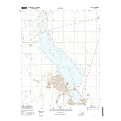 2016 Lake Altus2016 Print · USGSSouthwest Oklahoma's unique mountain-and-water landscape is captured here in the mid-2010s, centered on the Lake Altus reservoir. Genealogists and local historians can trace the rural layout near Granite, locate the Quartz Cem, and explore the terrain around Quartz Mountain and Lugert.
 - 2018 Map of Lake Altus, 2018 Print
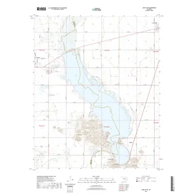 2018 Lake Altus2018 Print · USGSSouthwestern Oklahoma's granite hills and waterways are captured here during the late twenty-teens. Researchers can trace family history at Granite Cem and Quartz Cem or locate landmarks like Quartz Mtn and Lake Altus.
 - 2018 Map of Granite, 2018 Print
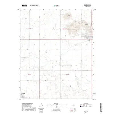 2018 Granite2018 Print · USGSGreer County at the close of the 2010s shows a landscape of prominent peaks and river bends between Granite and Mangum. Researchers can trace rural cemetery locations like Rock Cem and natural features including Horseshoe Lake and Brown Mtn.
 - 2022 Map of Granite, 2022 Print
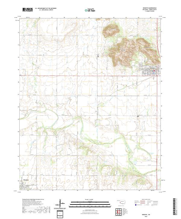 2022 Granite2022 Print · USGSGreer County in the early twenty-first century is defined by the granite peaks rising over the plains and the winding Elm Fork. Genealogists and local historians can trace the grid of Granite, locate the Lutheran Cem, and survey the banks of Horseshoe Lake.
 - 2022 Map of Lake Altus, 2022 Print
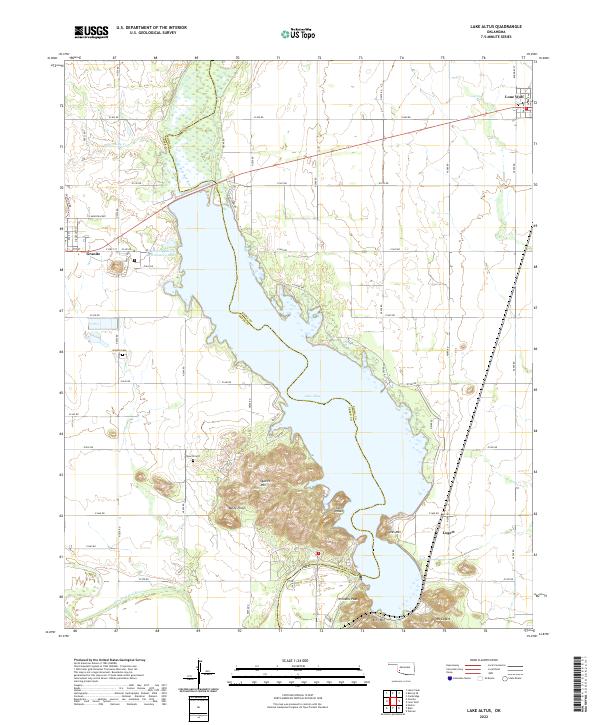 2022 Lake Altus2022 Print · USGSWestern Oklahoma’s granite peaks and reservoirs are captured here in the early twenty-first century. Genealogists and local historians can trace the sites of Granite, Lone Wolf, and Lugert, alongside landmarks like Quartz Cem and King Mtn.
End of results
Showing maps 1-14 of 14
Top cities near Granite
- Mangum historical maps
- Sentinel historical maps
- Blair historical maps
- Lone Wolf historical maps
- Willow historical maps
Top neighborhoods of Granite
- Bartlett historical maps
- Bartlett historical maps
- Bartlett historical maps
- Bartlett historical maps
- Broadie historical maps
- Cox Res Resv historical maps
See more
Frequently asked questions
- What are the different types of historical maps available for Granite?
- What is the oldest map of Granite?
- Where can I purchase historical maps of Granite for my home or office?
- Where can I download high-res historical maps of Granite?
- Are there historical topographic maps available for Granite?
- Is there historical aerial imagery available for Granite?
- Where are historical maps of Granite sourced from?