Old Maps of Louis, Oklahoma for Academic Research
Study the evolution of Louis with 10 high-resolution historic maps. Whether you're teaching, researching, or modeling changes in land use, these maps provide essential visual documentation of urban, environmental, and geographic change.
- Analyze long-term change: Track patterns in development, transportation, and natural features.
- Ideal for environmental or urban studies: Support academic projects with primary historical map data.
- Use in the classroom or lab: Educators and researchers rely on these maps to bring historical context to life.
These maps are a powerful tool for teaching, research, and visualizing how Louis has changed over the decades.
Louis, OK maps
(10)- 1955 Map of Lawton, 1958 Print
 1955 Lawton1958 Print · USGSSouthwestern Oklahoma and North Texas are shown here in the mid-fifties, dominated by the Wichita Mountains and the vital Red River watershed. Genealogists and historians can trace the foundations of Lawton alongside rural landmarks like Rainy Mountain Church and Pleasant Hill School.5 unique versions available
 - 1961 Map of Hollis, 1963 Print
 1961 Hollis1963 Print · USGSHarmon County, Oklahoma, in the early sixties showcases a landscape defined by the Prairie Dog Town Fork Red River and the arrival of modern infrastructure. Researchers can locate family landmarks like Bitter Creek Cem, Antioch Ch, and the local Drive-in Theater in Hollis.
 - 1975 Map of Hollis SE
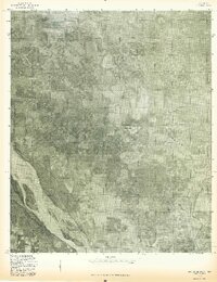 1975 Hollis SE1975 Print · USGSHarmon County at the Oklahoma-Texas border is seen from the air in the mid-seventies, showing the agricultural patterns of the southern plains. Researchers can trace the shifting sandbars of the Red River and the winding course of Sandy Louis Creek through this rural landscape.
 - 1985 Map of Altus
 1985 Altus1985 Print · USGSSouthwestern Oklahoma in the mid-eighties shows a vast agricultural and military landscape shaped by the Red River forks. Trace the intersections of the Atchison Topeka and Santa Fe railroad with rural points like Fairmount Cem and Duke.2 unique versions available
 - 1985 Map of Louis
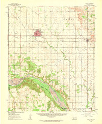
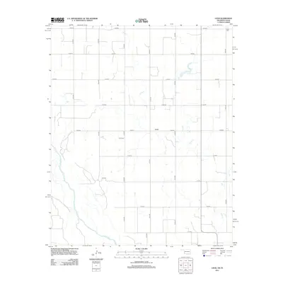
 1985 Louis1985 Print · USGSThe Oklahoma-Texas borderlands along the Red River are shown here in the mid-1980s, documenting a landscape of rural homesteads and river-valley ranching. Genealogists and local historians can locate several family landmarks and burial sites, including Liberty Cem, Louis Cem, and the community of Snider.
 - 2010 Map of Louis, 2010 Print
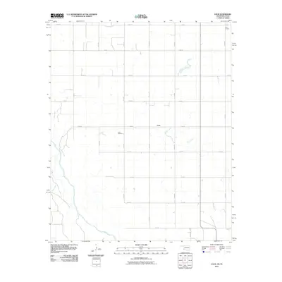 2010 Louis2010 Print · USGSCovers Louis, including Jackson County, Hardeman County, and other nearby areas
 - 2012 Map of Louis, 2012 Print
 2012 Louis2012 Print · USGSCovers Louis, including Jackson County, Hardeman County, and other nearby areas
 - 2016 Map of Louis, 2016 Print
 2016 Louis2016 Print · USGSCovers Louis, including Jackson County, Hardeman County, and other nearby areas
 - 2018 Map of Louis, 2018 Print
 2018 Louis2018 Print · USGSCovers Louis, including Jackson County, Hardeman County, and other nearby areas
 - 2022 Map of Louis, 2022 Print
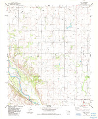
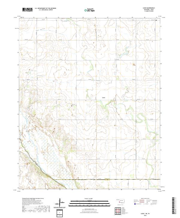 2022 Louis2022 Print · USGSThe Red River valley at the Oklahoma-Texas border remained a landscape of dispersed farms and quiet rural outposts in the early twenty-first century. Researchers can locate ancestral sites at Louis Cem and Liberty Cem or trace the early settlement of Louis and Star Valley.
End of results
Showing maps 1-10 of 10
Top cities near Louis
- Hollis historical maps
- Eldorado historical maps
- East Duke historical maps
- Gould historical maps
- Dodson historical maps
Frequently asked questions
- What are the different types of historical maps available for Louis?
- What is the oldest map of Louis?
- Where can I purchase historical maps of Louis for my home or office?
- Where can I download high-res historical maps of Louis?
- Are there historical topographic maps available for Louis?
- Is there historical aerial imagery available for Louis?
- Where are historical maps of Louis sourced from?