2000s (21st Century) Maps of Stigler, Oklahoma
Explore 20 historic maps of Stigler from the 2000s (21st Century). These maps offer a rare glimpse into what life looked like during the 2000s — showing old roads, neighborhoods, homes, and landmarks that have changed or disappeared over time.
Whether you're researching your family's past, planning a metal detecting trip, or studying how Stigler's landscape evolved across the 2000s, these high-resolution maps are a powerful tool for exploring the history of this region.
- Focus on a specific era: All maps on this page are from the 2000s, giving you a focused view of this time period.
- See what’s changed: Compare century-old streets, trails, and buildings to today's modern landscape using overlays and satellite layers.
- Research with precision: Use these maps for genealogy, historical research, land use analysis, or educational projects.
- View, download, or print: Maps are fully viewable online in high resolution, and can be downloaded or printed for your own records.
Start exploring Stigler's history through authentic maps from the 2000s. This is your window into the past.
Stigler, OK maps
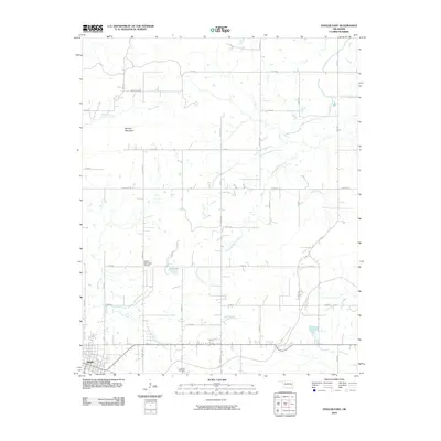
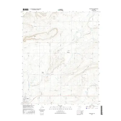
(20)- 2010 Map of Sans Bois, 2010 Print
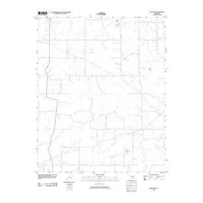 2010 Sans Bois2010 Print · USGSCovers Stigler, including Kinta, Whitefield, and other nearby areas
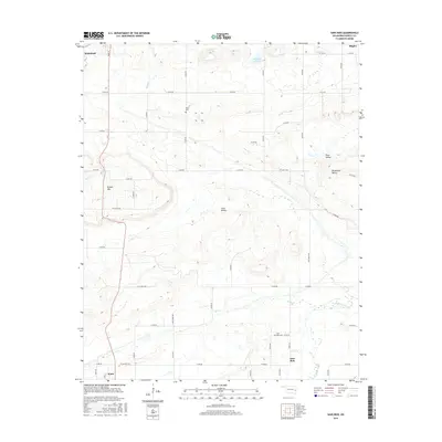
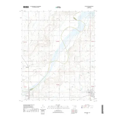
 - 2010 Map of Stigler West, 2010 Print
 2010 Stigler West2010 Print · USGSCovers Stigler, including Whitefield, Briartown, and other nearby areas
 - 2010 Map of Lafayette, 2010 Print
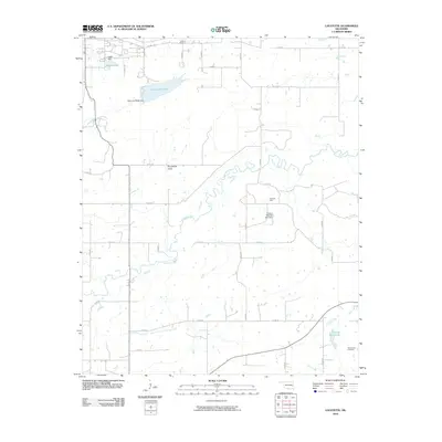 2010 Lafayette2010 Print · USGSCovers Stigler, including Lafayette, Haskell County, and other nearby areas
 - 2010 Map of Stigler East, 2010 Print
 2010 Stigler East2010 Print · USGSCovers Stigler, including Garland, Muskogee County, and other nearby areas
 - 2012 Map of Sans Bois, 2012 Print
 2012 Sans Bois2012 Print · USGSCovers Stigler, including Kinta, Whitefield, and other nearby areas
 - 2012 Map of Stigler East, 2012 Print
 2012 Stigler East2012 Print · USGSCovers Stigler, including Garland, Muskogee County, and other nearby areas
 - 2012 Map of Stigler West, 2012 Print
 2012 Stigler West2012 Print · USGSCovers Stigler, including Whitefield, Briartown, and other nearby areas
 - 2012 Map of Lafayette, 2012 Print
 2012 Lafayette2012 Print · USGSCovers Stigler, including Lafayette, Haskell County, and other nearby areas
 - 2016 Map of Lafayette, 2016 Print
 2016 Lafayette2016 Print · USGSCovers Stigler, including Lafayette, Haskell County, and other nearby areas
 - 2016 Map of Stigler East, 2016 Print
 2016 Stigler East2016 Print · USGSCovers Stigler, including Garland, Muskogee County, and other nearby areas
 - 2016 Map of Stigler West, 2016 Print
 2016 Stigler West2016 Print · USGSCovers Stigler, including Whitefield, Briartown, and other nearby areas
 - 2016 Map of Sans Bois, 2016 Print
 2016 Sans Bois2016 Print · USGSCovers Stigler, including Kinta, Whitefield, and other nearby areas
 - 2018 Map of Stigler East, 2018 Print
 2018 Stigler East2018 Print · USGSCovers Stigler, including Garland, Muskogee County, and other nearby areas
 - 2018 Map of Stigler West, 2018 Print
 2018 Stigler West2018 Print · USGSCovers Stigler, including Whitefield, Briartown, and other nearby areas
 - 2018 Map of Sans Bois, 2018 Print
 2018 Sans Bois2018 Print · USGSCovers Stigler, including Kinta, Whitefield, and other nearby areas
 - 2019 Map of Lafayette, 2019 Print
 2019 Lafayette2019 Print · USGSCovers Stigler, including Lafayette, Haskell County, and other nearby areas
 - 2022 Map of Stigler East, 2022 Print
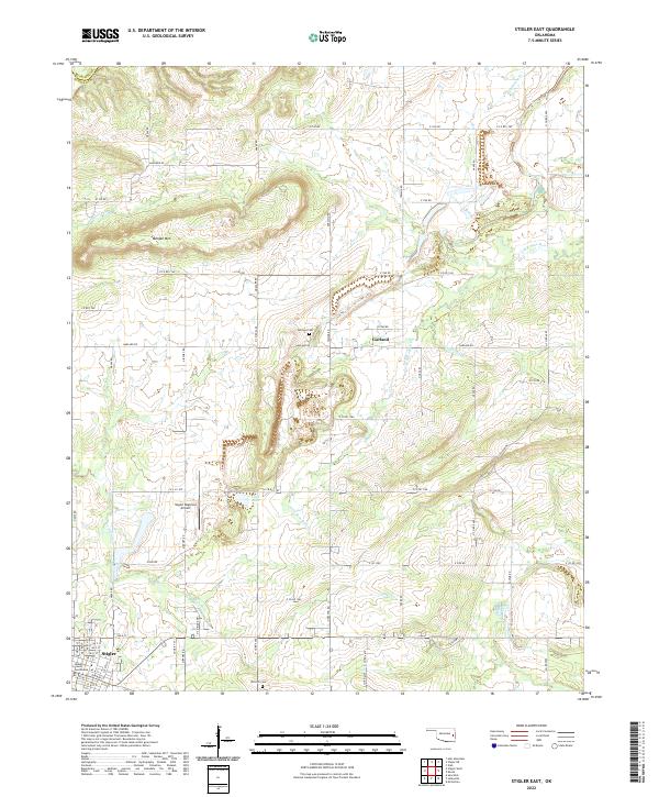 2022 Stigler East2022 Print · USGSHaskell County's seat at Stigler and the neighboring settlement of Garland are shown here in the early twenty-first century. Researchers can trace local history through the Garland Cem, the Haskell County Courthouse, and the winding path of Little Sans Bois Cr.
 - 2022 Map of Sans Bois, 2022 Print
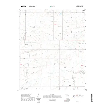
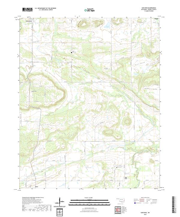 2022 Sans Bois2022 Print · USGSHaskell County's rural landscape is captured here in the early twenty-first century, showing the dispersed settlements and family lands of the Oklahoma countryside. Genealogists and local historians can locate the Sans Bois Cem, Vance Family Cem, and the communities of Whitefield and Sans Bois.
 - 2022 Map of Stigler West, 2022 Print
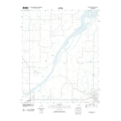
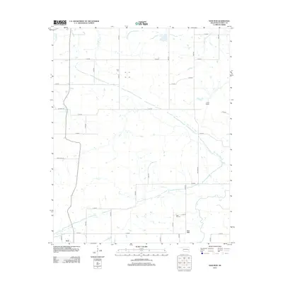
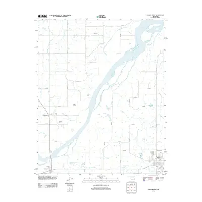
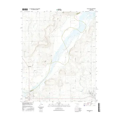
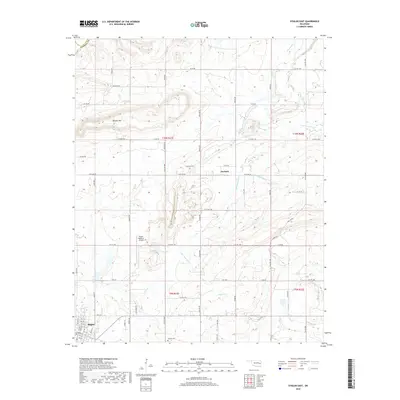
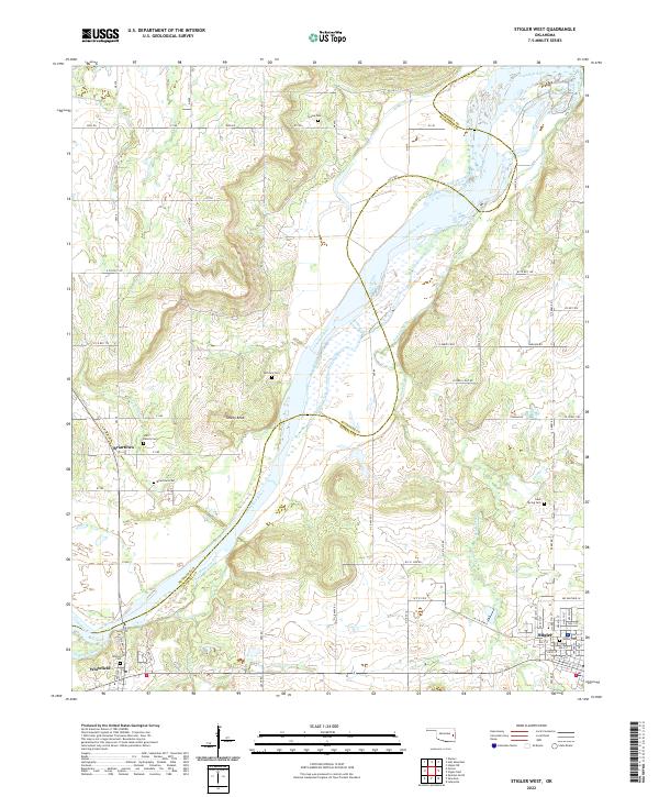 2022 Stigler West2022 Print · USGSThe Haskell and Muskogee county line follows the winding Canadian River in this contemporary survey of eastern Oklahoma. Researchers can trace family sites from Stigler to Briartown, locating landmarks like Starr Family Cem and Turkey Knob.
 - 2022 Map of Lafayette, 2022 Print
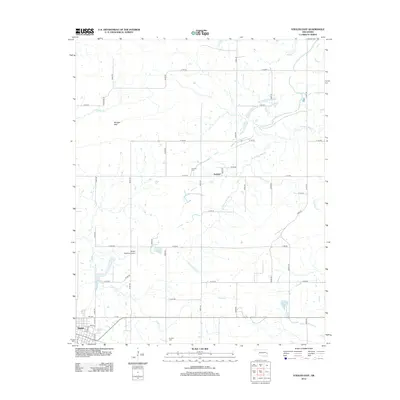
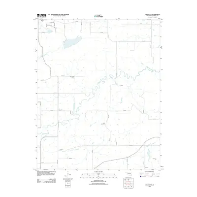
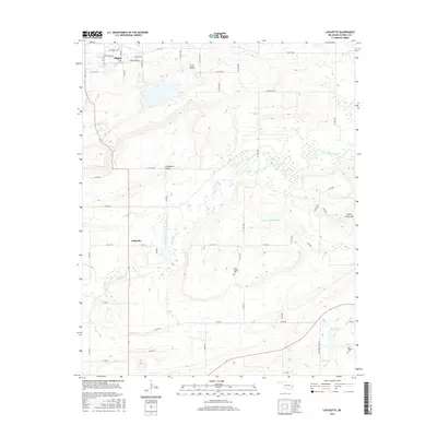
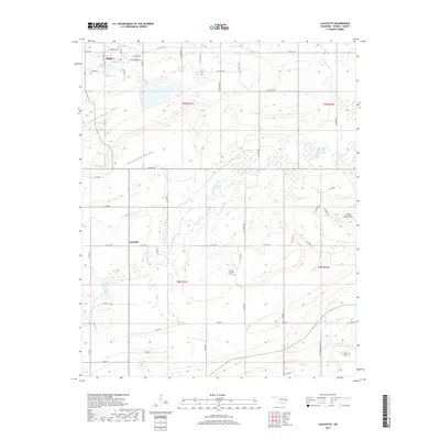
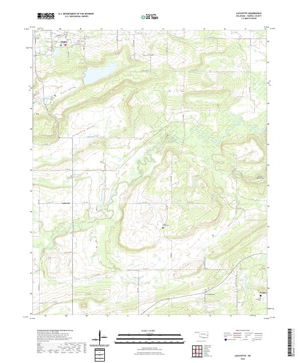 2022 Lafayette2022 Print · USGSHaskell County at the start of the 2020s shows the enduring landscape of the Choctaw Country hills. Researchers can trace family sites near Siloam Springs Cem, the community of Lafayette, and the slopes of Seven Devils Mtn.
End of results
Showing maps 1-20 of 20
Top cities near Stigler
- Warner historical maps
- Porum historical maps
- Keota historical maps
- McCurtain historical maps
- Kinta historical maps
- Whitefield historical maps
See more
Frequently asked questions
- What are the different types of historical maps available for Stigler?
- What is the oldest map of Stigler?
- Where can I purchase historical maps of Stigler for my home or office?
- Where can I download high-res historical maps of Stigler?
- Are there historical topographic maps available for Stigler?
- Is there historical aerial imagery available for Stigler?
- Where are historical maps of Stigler sourced from?