Old Maps of Stigler, Oklahoma for Hiking & Exploration
Hike through history with 32 historic maps of Stigler. Explore old trails, ghost towns, and forgotten backroads — perfect for outdoor adventurers and local explorers.
- Rediscover forgotten places: Map out old mining camps, roads, and footpaths that no longer exist on modern maps.
- Layer with modern tools: Combine with LiDAR or satellite views to plan hikes through historical terrain.
- Made for exploration: Popular among hikers, overlanders, and local history lovers.
Use these maps to find adventure and explore the hidden past of Stigler.
Stigler, OK maps
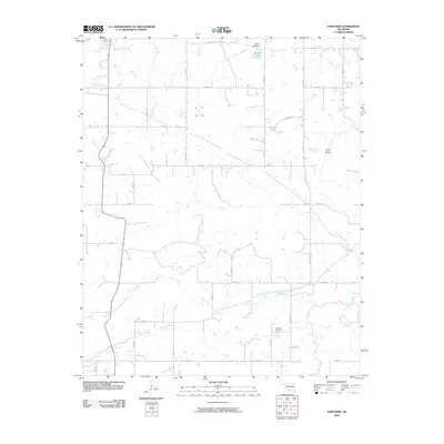
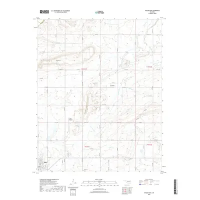
(32)- 1900 Map of Sansbois
 1900 Sansbois1900 Print · USGSIndian Territory in the late nineteenth century is documented here through its tribal boundaries and early river settlements. Genealogists can trace family roots near Stigler, Porum, and Whitefield, or locate the isolated station at Sandtown along the St L & S F R R.2 unique versions available
 - 1909 Map of Sans Bois, 1954 Print
 1909 Sans Bois1954 Print · USGSHaskell and Muskogee counties are seen here in the decade following statehood, when rail lines and river crossings dictated the pulse of rural life. Genealogists can trace family roots through numerous local landmarks like Kanima P O, Belle Starr School, and the Sansbois Sta.
 - 1911 Map of Sansbois
 1911 Sansbois1911 Print · USGSEastern Oklahoma's river valleys and rugged hills come alive in this early twentieth-century survey of the Choctaw Nation's western reaches. Researchers can locate rural landmarks like Sansbois Station, the Belle Starr School, and early river crossings such as the Thornton Ferry.3 unique versions available
 - 1946 Map of Fort Smith
 1946 Fort Smith1946 Print · USGSThe Arkansas-Oklahoma borderlands appear here in the mid-forties, as new reservoirs began to transform the river valleys. Genealogists and historians can trace rail-served towns from Muskogee to Fort Smith and locate landmarks like Camp Chaffee.
 - 1962 Map of Stigler East, 1964 Print
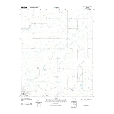
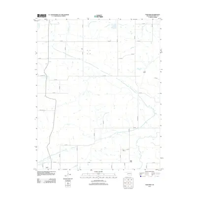
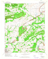 1962 Stigler East1964 Print · USGSHaskell County at the start of the sixties is captured here, showing the agricultural and industrial transition of the Sans Bois area. Local historians can trace family locations near Garland Sch, congregations like Garland Chapel, and industry at the local Strip Mine.2 unique versions available
 - 1962 Map of Stigler West, 1964 Print
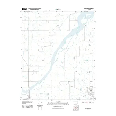
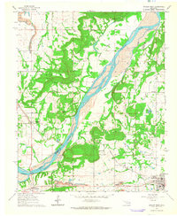 1962 Stigler West1964 Print · USGSHaskell and Muskogee counties are captured in the early sixties as the Canadian River shaped the local economy and geography. Genealogists and historians can trace old community ties through sites like Briartown, Ross Sch, and the Starr Cem.3 unique versions available
 - 1965 Map of Fort Smith
 1965 Fort Smith1965 Print · USGSEastern Oklahoma and Western Arkansas are captured here during a period of massive post-war change as new reservoirs reshaped the river valleys. Genealogists and historians can trace the rail networks of the Midland Valley RR and find established communities like Stilwell, Sallisaw, and Stigler.
 - 1967 Map of Fort Smith
 1967 Fort Smith1967 Print · USGSThe Arkansas River valley and the foothills of the Ozarks are captured here during a period of significant military and industrial activity. Researchers can trace the sprawling bounds of Camp Chaffee and Camp Gruber or locate vanished rail stops along the Midland Valley RR.
 - 1968 Map of Lafayette, 1971 Print
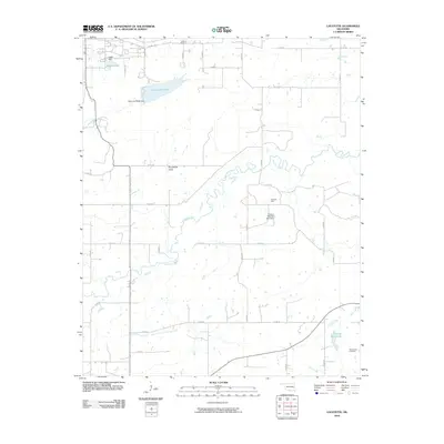
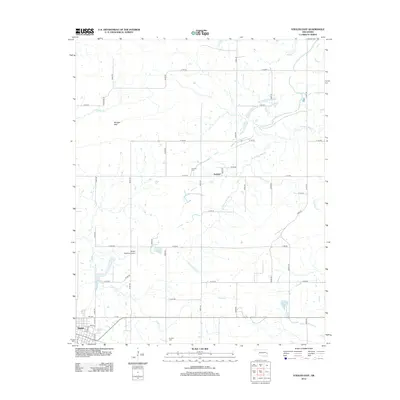
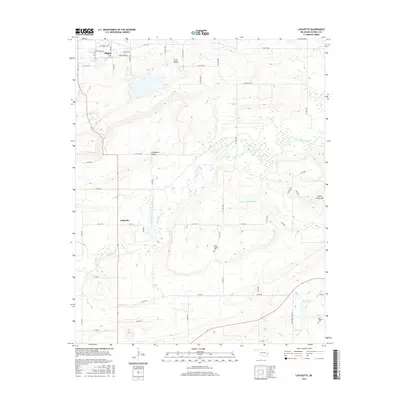
 1968 Lafayette1971 Print · USGSHaskell County was undergoing a major transformation in the late sixties as the new reservoir began to reshape the valley floor. Genealogists and historians can trace local roots through the Lafayette Ch, the Choctaw Mine, and the Old Panther Cem.2 unique versions available
 - 1969 Map of Sans Bois, 1971 Print
 1969 Sans Bois1971 Print · USGSHaskell County's industrial and rural character is on display in the late sixties, showing the expansion of energy extraction. Locate family sites near Sans Bois Cemetery or trace the strip mines that weave through Beaver and Machire.
 - 1978 Map of Eufaula, 1979 Print
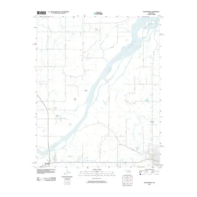
 1978 Eufaula1979 Print · USGSEastern Oklahoma in the late seventies is defined by the sprawling waters of Eufaula Lake and the dense timber of the Sans Bois Mountains. Genealogists and historians can trace the development of towns like Checotah and Stigler or locate legacy sites like the Old R R Grade and Robbers Cave State Park.
 - 1978 Map of Fort Smith, 1979 Print
 1978 Fort Smith1979 Print · USGSThe Arkansas-Oklahoma borderlands in the late seventies show a landscape shaped by massive river reservoirs and sprawling military reservations. Trace the historic rail lines of the Missouri Pacific RR and locate regional landmarks like Fort Gibson, Tenkiller Ferry Lake, and Barling.2 unique versions available
 - 2010 Map of Sans Bois, 2010 Print
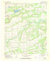
 2010 Sans Bois2010 Print · USGSCovers Stigler, including Kinta, Whitefield, and other nearby areas
 - 2010 Map of Stigler West, 2010 Print
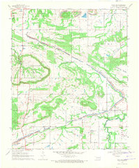
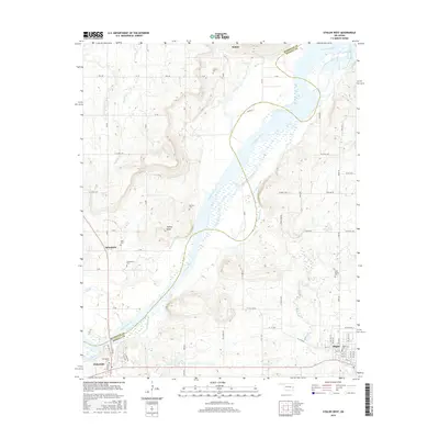
 2010 Stigler West2010 Print · USGSCovers Stigler, including Whitefield, Briartown, and other nearby areas
 - 2010 Map of Lafayette, 2010 Print
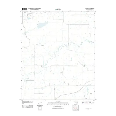
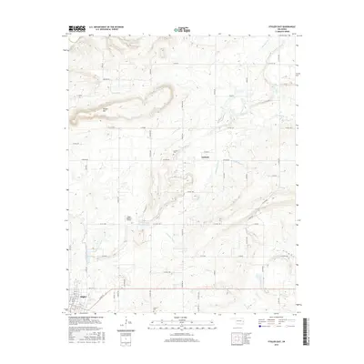
 2010 Lafayette2010 Print · USGSCovers Stigler, including Lafayette, Haskell County, and other nearby areas
 - 2010 Map of Stigler East, 2010 Print
 2010 Stigler East2010 Print · USGSCovers Stigler, including Garland, Muskogee County, and other nearby areas
 - 2012 Map of Sans Bois, 2012 Print
 2012 Sans Bois2012 Print · USGSCovers Stigler, including Kinta, Whitefield, and other nearby areas
 - 2012 Map of Stigler East, 2012 Print
 2012 Stigler East2012 Print · USGSCovers Stigler, including Garland, Muskogee County, and other nearby areas
 - 2012 Map of Stigler West, 2012 Print
 2012 Stigler West2012 Print · USGSCovers Stigler, including Whitefield, Briartown, and other nearby areas
 - 2012 Map of Lafayette, 2012 Print
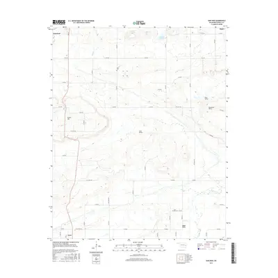
 2012 Lafayette2012 Print · USGSCovers Stigler, including Lafayette, Haskell County, and other nearby areas
 - 2016 Map of Lafayette, 2016 Print
 2016 Lafayette2016 Print · USGSCovers Stigler, including Lafayette, Haskell County, and other nearby areas
 - 2016 Map of Stigler East, 2016 Print
 2016 Stigler East2016 Print · USGSCovers Stigler, including Garland, Muskogee County, and other nearby areas
 - 2016 Map of Stigler West, 2016 Print
 2016 Stigler West2016 Print · USGSCovers Stigler, including Whitefield, Briartown, and other nearby areas
 - 2016 Map of Sans Bois, 2016 Print
 2016 Sans Bois2016 Print · USGSCovers Stigler, including Kinta, Whitefield, and other nearby areas
 - 2018 Map of Stigler East, 2018 Print
 2018 Stigler East2018 Print · USGSCovers Stigler, including Garland, Muskogee County, and other nearby areas
Showing maps 1-25 of 32
Top cities near Stigler
- Warner historical maps
- Porum historical maps
- Keota historical maps
- McCurtain historical maps
- Kinta historical maps
- Whitefield historical maps
See more
Frequently asked questions
- What are the different types of historical maps available for Stigler?
- What is the oldest map of Stigler?
- Where can I purchase historical maps of Stigler for my home or office?
- Where can I download high-res historical maps of Stigler?
- Are there historical topographic maps available for Stigler?
- Is there historical aerial imagery available for Stigler?
- Where are historical maps of Stigler sourced from?