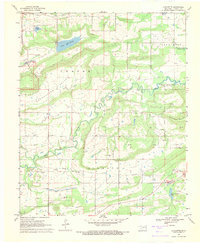
1968 Map of Lafayette
USGS Topo · Published 1971About this map
Sans Bois Creek meanders through the heart of Haskell County, where this 1968 survey documents a landscape transitioning toward industrial and recreational use. The map identifies the planned extent of the Robert S Kerr Reservoir, with blue hatching indicating areas destined for submersion at its normal pool elevation. This water project dramatically reshaped the lower elevations of the Pruit Valley and Center Valley.
Find a feature on this map
30 named features on this map. Tap any name to fly to it.
Don’t see what you’re looking for? This feature index may not catch every label — zoom into the map to look around manually.
Map Details
Editions of this 1968 Lafayette Map
2 editions found
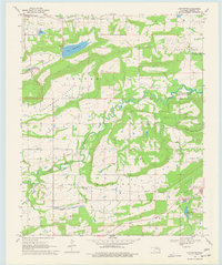
Other maps of this area

1900 · Sansbois
USGS Topo · 1:125,000

1900 · Sallisaw
USGS Topo · 1:125,000

1909 · Sans Bois
USGS Topo · 1:125,000

1911 · Sallisaw
USGS Topo · 1:125,000

1911 · Sansbois
USGS Topo · 1:125,000

1946 · Fort Smith
USGS Topo · 1:250,000

1962 · Stigler East
USGS Topo · 1:24,000

1962 · Stigler West
USGS Topo · 1:24,000

1965 · Fort Smith
USGS Topo · 1:250,000

1967 · Fort Smith
USGS Topo · 1:250,000