
1962 Map of Stigler West
USGS Topo · Published 1964About this map
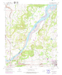
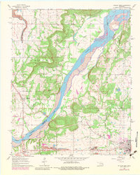
The Canadian River carves a wide, braided path through this Oklahoma landscape, defining the boundary between Muskogee and Haskell counties. The Midland Valley Railroad cuts diagonally across the terrain, linking the settlements of Whitefield and the western edge of Stigler. This era reveals a region defined by extraction and community hubs, with numerous industrial sites including a Strip Mine, Shale Pit, and various Sandpits located near the riverbanks. Local history is deeply embedded in the rural infrastructure, evidenced by scattered education centers like Ross Sch and Martin Sch. The concentration of family and community burial grounds, such as Cramp Cem, Starr Cem, and McClure Cem, provides a detailed record of the families settled around Briartown and the surrounding river valleys during the early 1960s.
Find a feature on this map
36 named features on this map. Tap any name to fly to it.
Don’t see what you’re looking for? This feature index may not catch every label — zoom into the map to look around manually.
Map Details
Editions of this 1962 Stigler West Map
3 editions found
Other maps of this area

1900 · Sansbois
USGS Topo · 1:125,000

1909 · Sans Bois
USGS Topo · 1:125,000

1911 · Sansbois
USGS Topo · 1:125,000

1946 · Fort Smith
USGS Topo · 1:250,000

1962 · Stigler East
USGS Topo · 1:24,000
1963 · Stigler NE
USGS Topo · 1:24,000

1963 · Porum
USGS Topo · 1:24,000
1963 · Holt Mountain
USGS Topo · 1:24,000
1963 · Warner
USGS Topo · 1:24,000
1964 · Stigler NE
USGS Topo · 1:24,000