
1963 Map of Porum
USGS Topo · Published 1964About this map
Porum Mountain and its surrounding peaks dominate this mid-century landscape where Muskogee, McIntosh, and Haskell Counties meet. The topographic detail captures a critical period of hydrological change, showing the Eufaula Reservoir and the massive Eufaula Dam structure along the Canadian River. The terrain is characterized by a series of prominent elevations, including Cobb Mountain, Earl Mountain, and Brooken Mountain, which create natural barriers and gaps like Porum Gap.
Find a feature on this map
31 named features on this map. Tap any name to fly to it.
Don’t see what you’re looking for? This feature index may not catch every label — zoom into the map to look around manually.
Map Details
Editions of this 1963 Porum Map
2 editions found
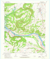
Other maps of this area

1900 · Sansbois
USGS Topo · 1:125,000

1909 · Sans Bois
USGS Topo · 1:125,000

1911 · Sansbois
USGS Topo · 1:125,000

1946 · Fort Smith
USGS Topo · 1:250,000

1962 · Stigler West
USGS Topo · 1:24,000

1963 · Warner NW
USGS Topo · 1:24,000
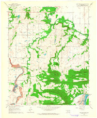
1963 · Holt Mountain
USGS Topo · 1:24,000

1963 · Texanna
USGS Topo · 1:24,000
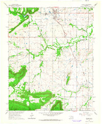
1963 · Warner
USGS Topo · 1:24,000

1965 · Fort Smith
USGS Topo · 1:250,000