
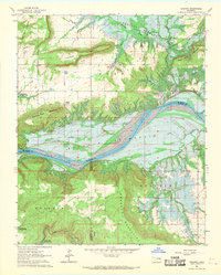
1963 Map of Texanna
USGS Topo · Published 1964About this map
Texanna Mountain and Brooken Mountain dominate this landscape, rising above the expanding waters of the Eufaula Reservoir. Surveyed just as the reservoir began to reshape the valley, the map documents the shifting topography where the Canadian River once flowed freely. The terrain is marked by significant cultural markers, including the Old Indian Treaty Boundary and several isolated landmarks like Standing Rock.
Find a feature on this map
24 named features on this map. Tap any name to fly to it.
Don’t see what you’re looking for? This feature index may not catch every label — zoom into the map to look around manually.
Map Details
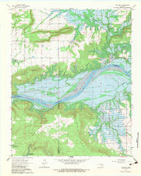
Editions of this 1963 Texanna Map
3 editions found
Other maps of this area

1900 · Sansbois
USGS Topo · 1:125,000

1900 · Canadian
USGS Topo · 1:125,000

1909 · Sans Bois
USGS Topo · 1:125,000

1911 · Sansbois
USGS Topo · 1:125,000

1946 · Fort Smith
USGS Topo · 1:250,000

1963 · Porum
USGS Topo · 1:24,000

1963 · Warner NW
USGS Topo · 1:24,000

1963 · Eufaula
USGS Topo · 1:24,000

1963 · Checotah
USGS Topo · 1:24,000
1963 · Warner
USGS Topo · 1:24,000