
1963 Map of Checotah
USGS Topo · Published 1964About this map
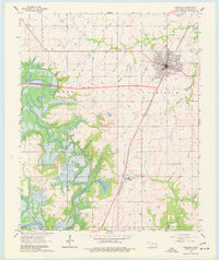
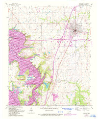
The Missouri-Kansas-Texas railroad corridor anchors this early 1960s study of McIntosh County, Oklahoma, running directly through the heart of Checotah. This era finds the landscape in a state of flux, as indicated by the wide swaths of hatching along the Deep Fork and the North Canadian River representing the Eufaula Reservoir Normal Pool Elevation 585. These markings delineate areas soon to be submerged or subject to controlled inundation following the reservoir's creation.
Find a feature on this map
21 named features on this map. Tap any name to fly to it.
Don’t see what you’re looking for? This feature index may not catch every label — zoom into the map to look around manually.
Map Details
Editions of this 1963 Checotah Map
3 editions found
Other maps of this area

1896 · Okmulgee
USGS Topo · 1:125,000

1900 · Sansbois
USGS Topo · 1:125,000

1900 · Canadian
USGS Topo · 1:125,000

1900 · Okmulgee
USGS Topo · 1:125,000

1901 · Muscogee
USGS Topo · 1:125,000

1905 · Muscogee
USGS Topo · 1:125,000

1909 · Sans Bois
USGS Topo · 1:125,000

1911 · Sansbois
USGS Topo · 1:125,000

1946 · Fort Smith
USGS Topo · 1:250,000

1948 · Keefeton
USGS Topo · 1:62,500