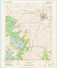
1963 Map of Checotah
USGS Topo · Published 1977About this map
The Checotah townsite and its surrounding landscape are captured here during a period of significant hydrological change, as the rising waters of Eufaula Lake begin to fill the lowlands of the Deep Fork and the North Canadian River. The map shows a precise moment before the full extent of the reservoir was reached, with normal pool elevations indicated along the twisting river channels. The Missouri-Kansas-Texas railroad corridor serves as the primary north-south spine of the region, connecting the grid-patterned streets of Checotah with the smaller settlement of Onapa to the south.
Find a feature on this map
18 named features on this map. Tap any name to fly to it.
Don’t see what you’re looking for? This feature index may not catch every label — zoom into the map to look around manually.
Map Details
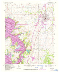
Editions of this 1963 Checotah Map
3 editions found

Other maps of this area

1896 · Okmulgee
USGS Topo · 1:125,000

1900 · Sansbois
USGS Topo · 1:125,000

1900 · Canadian
USGS Topo · 1:125,000

1900 · Okmulgee
USGS Topo · 1:125,000

1901 · Muscogee
USGS Topo · 1:125,000

1905 · Muscogee
USGS Topo · 1:125,000

1909 · Sans Bois
USGS Topo · 1:125,000

1911 · Sansbois
USGS Topo · 1:125,000

1946 · Fort Smith
USGS Topo · 1:250,000

1948 · Keefeton
USGS Topo · 1:62,500