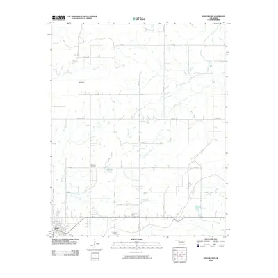
2010 Map of Stigler East
USGS Topo · Published 2010About this map
Stigler occupies the southwestern corner of this survey, where the local grid meets rural routes extending into the Haskell County countryside. The landscape is defined by the drainage basins of Little Sans Bois Creek and Taloka Creek, which create a complex network of tributaries across the terrain. One of the most prominent landforms is Morgan Mountain, situated in the northern section of the map near Jackson Creek.
Find a feature on this map
32 named features on this map. Tap any name to fly to it.
Don’t see what you’re looking for? This feature index may not catch every label — zoom into the map to look around manually.
Map Details
Editions of this 2010 Stigler East Map
This is the sole edition of this map. No revisions or reprints were ever made.
Other maps of this area

1900 · Sansbois
USGS Topo · 1:125,000

1900 · Sallisaw
USGS Topo · 1:125,000

1909 · Sans Bois
USGS Topo · 1:125,000

1911 · Sallisaw
USGS Topo · 1:125,000

1911 · Sansbois
USGS Topo · 1:125,000

1946 · Fort Smith
USGS Topo · 1:250,000

1962 · Stigler East
USGS Topo · 1:24,000

1962 · Stigler West
USGS Topo · 1:24,000
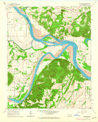
1963 · Stigler NE
USGS Topo · 1:24,000
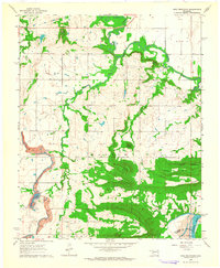
1963 · Holt Mountain
USGS Topo · 1:24,000