Old Maps of Lacey, Oklahoma for Metal Detecting
Plan your next treasure hunt with 11 historic maps of Lacey. Find old homesites, ghost towns, trails, and gathering spots that may be lost to time — perfect for identifying promising metal detecting locations.
- Locate forgotten sites: Uncover places like long-lost settlements, abandoned rail lines, or gathering spots.
- Plan better hunts: Use map overlays combined with LiDAR or satellite views to narrow in on historically rich areas.
- Made for detectorists: Thousands of hobbyists use these maps to discover relics, coins, and hidden history.
Use these historic maps to boost your research and find new opportunities beneath the surface of Lacey.
Lacey, OK maps
(11)- 1893 Map of Ames
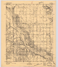 1893 Ames1893 Print · USGSOklahoma territory is captured here during the early surveying era, showing the river-dominated landscape of Major and Kingfisher counties. Local historians can trace early settlement patterns at Lacey and Parvin or locate the historic Washburns Crossing on the Cimarron River.2 unique versions available
 - 1955 Map of Woodward, 1967 Print
 1955 Woodward1967 Print · USGSNorthwest Oklahoma and the bordering plains are captured during the mid-sixties, showing a landscape defined by river valleys and massive water projects. Researchers can trace family roots in towns like Woodward and Alva or locate landmarks such as the Western Oklahoma State Hospital and Kegelman AF.3 unique versions available
 - 1956 Map of Ames, 1957 Print
 1956 Ames1957 Print · USGSMajor and Garfield counties are captured here in the mid-1950s, centered on the railroad town of Ames and the Cimarron River. Genealogists can trace rural life through landmarks like Antioch Ch, Mound Ridge Sch, and the Cimarron Valley Cem.2 unique versions available
 - 1958 Map of Woodward
 1958 Woodward1958 Print · USGSNorthwest Oklahoma and the neighboring panhandle borders are shown here during a period of steady mid-century growth. Researchers can trace the rail networks of the Atchison Topeka and Santa Fe and locate landmarks like the Western Oklahoma State Hospital and Port Supply Reservoir.2 unique versions available
 - 1982 Map of Lacey, 1983 Print
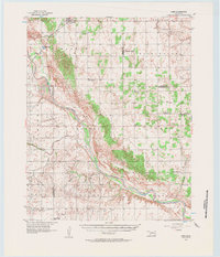
 1982 Lacey1983 Print · USGSKingfisher County's river valley is captured here in the early eighties, showing a landscape defined by the Cimarron River and energy production. Researchers can locate the Lacey settlement, trace family roots at Lacey Cem, and identify old private airfields like Huff Landing Strip.
 - 1986 Map of Fairview
 1986 Fairview1986 Print · USGSMajor County and the Cimarron River valley are shown here in the mid-1980s as the rail networks of the Atchison Topeka and Santa Fe still linked the plains. Researchers can trace rural lineages through settlements like Cheyenne Valley, Bouse Junction, and the terrain surrounding Canton Lake.2 unique versions available
 - 2009 Map of Lacey, 2009 Print
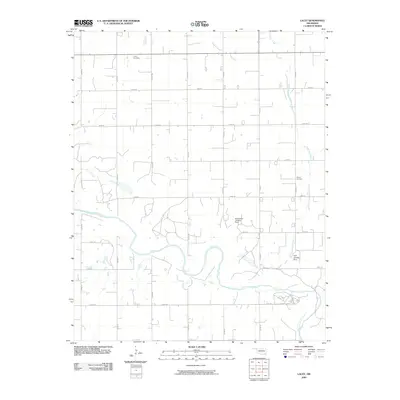 2009 Lacey2009 Print · USGSCovers Lacey, including Kingfisher County, United States, and other nearby areas
 - 2012 Map of Lacey, 2012 Print
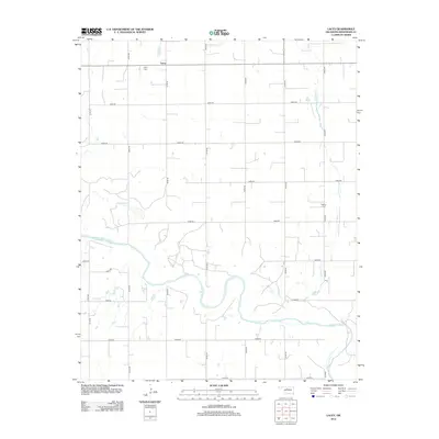 2012 Lacey2012 Print · USGSCovers Lacey, including Kingfisher County, United States, and other nearby areas
 - 2016 Map of Lacey, 2016 Print
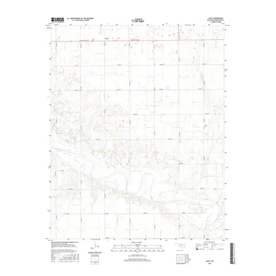 2016 Lacey2016 Print · USGSCovers Lacey, including Kingfisher County, United States, and other nearby areas
 - 2018 Map of Lacey, 2018 Print
 2018 Lacey2018 Print · USGSCovers Lacey, including Kingfisher County, United States, and other nearby areas
 - 2022 Map of Lacey, 2022 Print
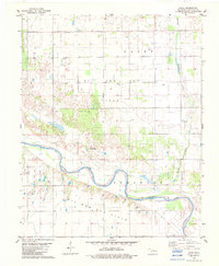
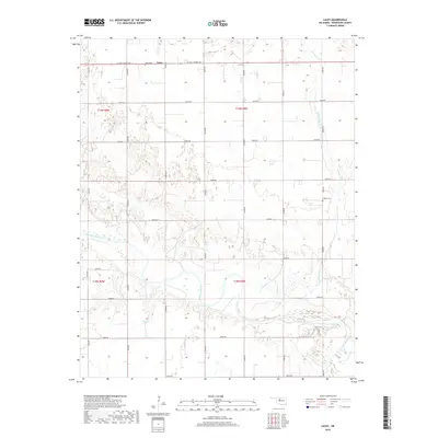
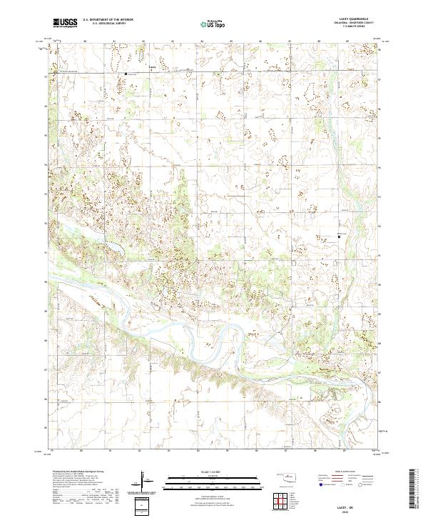 2022 Lacey2022 Print · USGSKingfisher County's agricultural heartland is documented here in the early 2020s, centered on the rural community of Lacey. Genealogists and local historians can trace family locations near the Lacey Cem, Wilhite Cem, and the wide banks of the Cimarron River.
End of results
Showing maps 1-11 of 11
Top cities near Lacey
- Enid historical maps
- Hennessey historical maps
- Waukomis historical maps
- Okeene historical maps
- Dover historical maps
- Drummond historical maps
See more
Frequently asked questions
- What are the different types of historical maps available for Lacey?
- What is the oldest map of Lacey?
- Where can I purchase historical maps of Lacey for my home or office?
- Where can I download high-res historical maps of Lacey?
- Are there historical topographic maps available for Lacey?
- Is there historical aerial imagery available for Lacey?
- Where are historical maps of Lacey sourced from?