Old Maps of Ames, Oklahoma
Explore 18 old maps of Ames, spanning from 1893 to today. These high-resolution historic maps reveal how streets, neighborhoods, landmarks, and natural features evolved over time — perfect for genealogy, metal detecting, research, and local history exploration.
What you can do with these maps:
- See how Ames changed over time: Compare historical maps to modern-day views to trace roads, homesites, rail lines & more.
- View detailed metadata: Each map includes creators, publishers, year, scale, and archive source.
- Overlay maps with satellite & LiDAR: Visualize the past alongside modern tools to explore terrain & human change.
- Trusted historical sources: Maps sourced from the USGS, Library of Congress, and other archives.
- Access maps your way: View online, download high-res files, or order prints for personal or research use.
Start exploring old maps of Ames to uncover forgotten places, hidden landmarks, and the deep history beneath your feet.
Ames, OK maps
(18)- 1893 Map of Ames
 1893 Ames1893 Print · USGSOklahoma territory is captured here during the early surveying era, showing the river-dominated landscape of Major and Kingfisher counties. Local historians can trace early settlement patterns at Lacey and Parvin or locate the historic Washburns Crossing on the Cimarron River.2 unique versions available
 - 1955 Map of Woodward, 1967 Print
 1955 Woodward1967 Print · USGSNorthwest Oklahoma and the bordering plains are captured during the mid-sixties, showing a landscape defined by river valleys and massive water projects. Researchers can trace family roots in towns like Woodward and Alva or locate landmarks such as the Western Oklahoma State Hospital and Kegelman AF.3 unique versions available
 - 1956 Map of Ames, 1957 Print
 1956 Ames1957 Print · USGSMajor and Garfield counties are captured here in the mid-1950s, centered on the railroad town of Ames and the Cimarron River. Genealogists can trace rural life through landmarks like Antioch Ch, Mound Ridge Sch, and the Cimarron Valley Cem.2 unique versions available
 - 1956 Map of Ringwood, 1957 Print
 1956 Ringwood1957 Print · USGSNorthern Oklahoma in the mid-fifties presents a landscape of prairie townships and vital rail hubs. Researchers can trace family roots through numerous rural sites like Pleasant Hill Cem, Parker Ch, and the Vernon Sch (Abandoned).
 - 1958 Map of Woodward
 1958 Woodward1958 Print · USGSNorthwest Oklahoma and the neighboring panhandle borders are shown here during a period of steady mid-century growth. Researchers can trace the rail networks of the Atchison Topeka and Santa Fe and locate landmarks like the Western Oklahoma State Hospital and Port Supply Reservoir.2 unique versions available
 - 1982 Map of Ringwood SW, 1983 Print
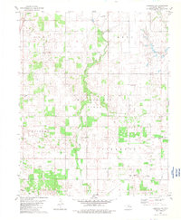 1982 Ringwood SW1983 Print · USGSMajor County in the early eighties shows a landscape where energy extraction meets traditional prairie life. Researchers can locate family roots at Erie Cem or Parker Ch and trace the influence of the Burlington Northern railroad.
 - 1982 Map of Ames, 1983 Print
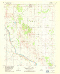 1982 Ames1983 Print · USGSAmes and the surrounding Major County oil fields are captured here in the early eighties as industrial and historical boundaries intersected. Genealogists and researchers can trace the Major Co Old Indian Treaty Boundary and locate landmarks like the Burlington Northern rail line and Crystal Lakes.
 - 1986 Map of Fairview
 1986 Fairview1986 Print · USGSMajor County and the Cimarron River valley are shown here in the mid-1980s as the rail networks of the Atchison Topeka and Santa Fe still linked the plains. Researchers can trace rural lineages through settlements like Cheyenne Valley, Bouse Junction, and the terrain surrounding Canton Lake.2 unique versions available
 - 2009 Map of Ames, 2009 Print
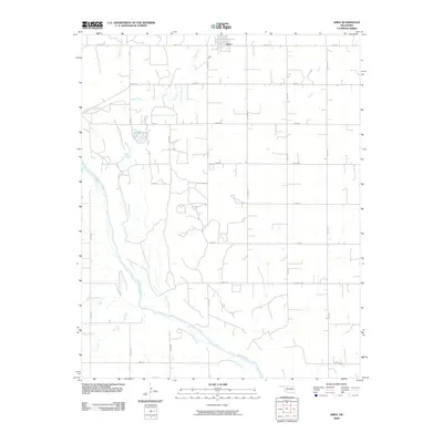 2009 Ames2009 Print · USGSThe rural town of Ames and the surrounding Oklahoma prairie are captured here in the early twenty-first century. Genealogists and local historians can trace the precise section-line roads and water features like Silver Lake and the Cimarron River.
 - 2010 Map of Ringwood SW, 2010 Print
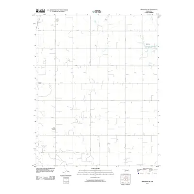 2010 Ringwood SW2010 Print · USGSMajor County at the start of the 2010s shows a classic Oklahoma section-line landscape defined by rural cemeteries and prairie creeks. Genealogists and local historians can locate Glenwood Cemetery, Concord Cemetery, and Decker Field among the grid of local roads.
 - 2012 Map of Ames, 2012 Print
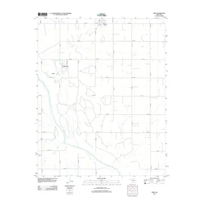 2012 Ames2012 Print · USGSThe rural landscape of Major County is captured here in the early twenty-first century, centered on the small town of Ames. Researchers can trace the development of lakeside communities like Crystal Lakes and Lindley near the banks of the Cimarron River.
 - 2012 Map of Ringwood SW, 2012 Print
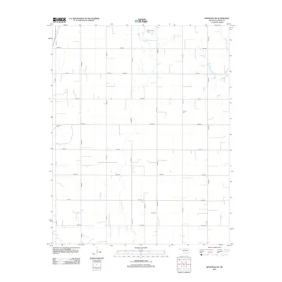 2012 Ringwood SW2012 Print · USGSMajor County at the beginning of the twenty-first century retains its rural character through an extensive section-line road network and quiet creek drainages. Genealogists and local historians can locate several rural burial sites, including Era Cem, Concord Cem, and Ames Cem.
 - 2016 Map of Ames, 2016 Print
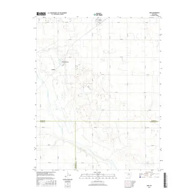 2016 Ames2016 Print · USGSThe community of Ames and the banks of the Cimarron River are captured in the mid-2010s, showing a landscape of structured rural sections. Genealogists and local historians can trace the grid of country roads to find homesteads near Crystal Lakes, Silver Lake, and the settlement of Lindley.
 - 2016 Map of Ringwood SW, 2016 Print
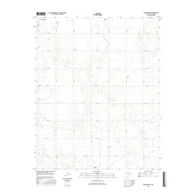 2016 Ringwood SW2016 Print · USGSMajor County farm country is captured here during the mid-2010s, showing the rural landscape between Ringwood and Ames. Researchers can locate several local burial sites, including Era Cem, Concord Cem, and Glenwood Cem.
 - 2018 Map of Ames, 2018 Print
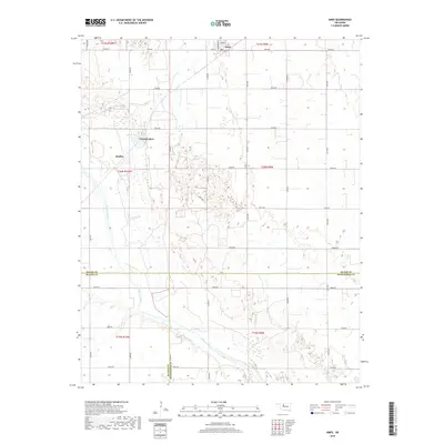 2018 Ames2018 Print · USGSAmes and the northern Cimarron River valley are documented here during the late twenty-teens. Local researchers can trace property lines near Crystal Lakes, the streets of Ames, and the riverbanks where Major, Blaine, and Kingfisher counties meet.
 - 2018 Map of Ringwood SW, 2018 Print
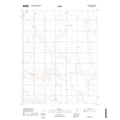 2018 Ringwood SW2018 Print · USGSMajor County at the end of the 2010s shows a landscape of enduring rural communities and agricultural grit. Researchers can trace family history through several local burial sites, including Era Cem, Concord Cem, and Ames Cem, while following the paths of Hoyle Cr and Elm Cr.
 - 2022 Map of Ringwood SW, 2022 Print
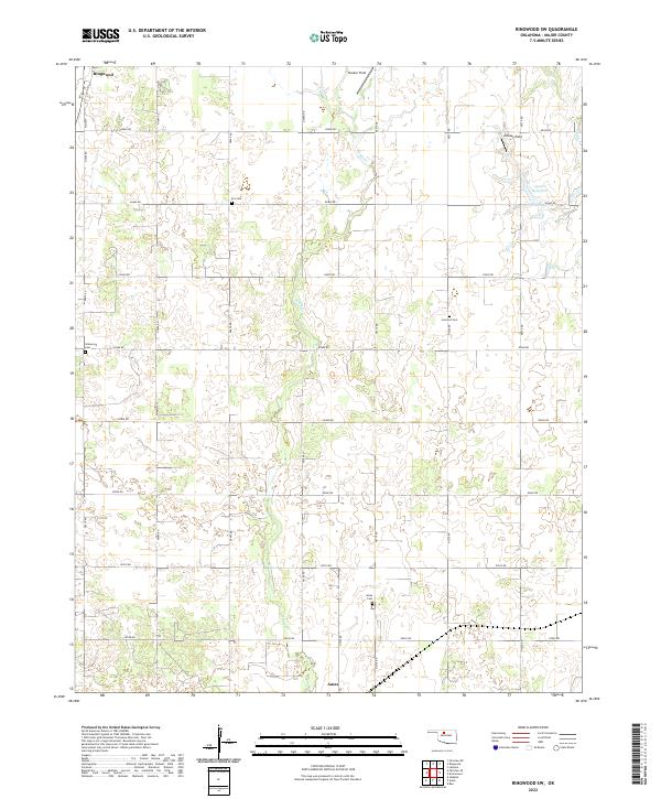 2022 Ringwood SW2022 Print · USGSMajor County's prairie landscape is captured in this modern survey, showing the agricultural and oil-producing heartland between Ringwood and Ames. Local researchers can trace family landmarks like Era Cem, Glenwood Cem, and the specialized oil activity at Decker Field.
 - 2022 Map of Ames, 2022 Print
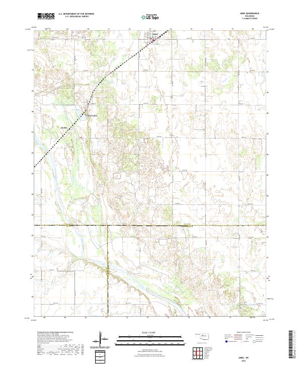 2022 Ames2022 Print · USGSMajor County at the start of the 2020s shows a landscape of steady agriculture and river-fronted settlements. Genealogists can trace property lines near Ames or locate family sites around Crystal Lakes and the Cimarron River.
End of results
Showing maps 1-18 of 18
Top cities near Ames
- Enid historical maps
- Okeene historical maps
- Lahoma historical maps
- Ringwood historical maps
- Drummond historical maps
- Meno historical maps
See more
Frequently asked questions
- What are the different types of historical maps available for Ames?
- What is the oldest map of Ames?
- Where can I purchase historical maps of Ames for my home or office?
- Where can I download high-res historical maps of Ames?
- Are there historical topographic maps available for Ames?
- Is there historical aerial imagery available for Ames?
- Where are historical maps of Ames sourced from?