Old Maps of Loyal, Oklahoma for Metal Detecting
Plan your next treasure hunt with 10 historic maps of Loyal. Find old homesites, ghost towns, trails, and gathering spots that may be lost to time — perfect for identifying promising metal detecting locations.
- Locate forgotten sites: Uncover places like long-lost settlements, abandoned rail lines, or gathering spots.
- Plan better hunts: Use map overlays combined with LiDAR or satellite views to narrow in on historically rich areas.
- Made for detectorists: Thousands of hobbyists use these maps to discover relics, coins, and hidden history.
Use these historic maps to boost your research and find new opportunities beneath the surface of Loyal.
Loyal, OK maps
(10)- 1893 Map of Loyal
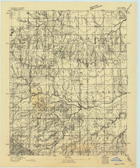 1893 Loyal1893 Print · USGSOklahoma Territory was still in its first decade of settlement when these early communities began to dot the landscape. Researchers can trace the original locations of Omega, Alpha, and Huntsville alongside the borders of the Cheyenne and Arapahoe Reservation.2 unique versions available
 - 1955 Map of Clinton, 1964 Print
 1955 Clinton1964 Print · USGSWestern Oklahoma during the mid-century transition shows a landscape of growing reservoirs and active military flight lines. Genealogists and historians can locate rural landmarks such as Mountain View Church, Berlin School, and the Riverside Indian School Reserve.3 unique versions available
 - 1957 Map of Clinton
 1957 Clinton1957 Print · USGSWestern Oklahoma in the mid-fifties is captured here as a landscape of river-valley settlements and emerging energy fields. Genealogists can trace family roots through numerous rural landmarks like the Swapping Back Indian School, Hebron Church, and the Riverside Indian School Reserve.
 - 1972 Map of Loyal, 1974 Print
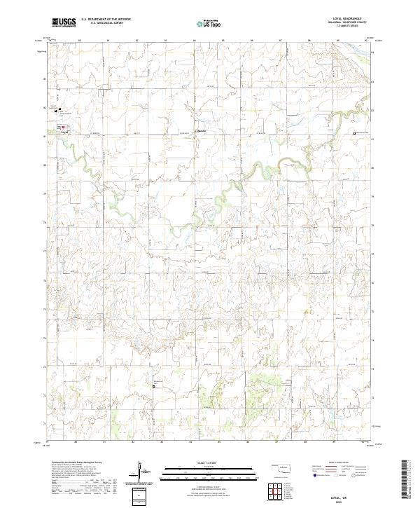
 1972 Loyal1974 Print · USGSKingfisher County during the early 1970s reveals a rural landscape transformed by energy production. Trace family history at Forest Home Cem and St Joseph Ch or locate the Gas Processing Plant near Oneida.
 - 1985 Map of Watonga
 1985 Watonga1985 Print · USGSCentral Oklahoma in the mid-eighties shows a robust network of river-valley settlements and rural rail lines. Genealogists and historians can trace the footprint of Southwestern State College, the historic Fort Reno, and family-named landmarks like Dead Women Crossing.2 unique versions available
 - 2009 Map of Loyal, 2009 Print
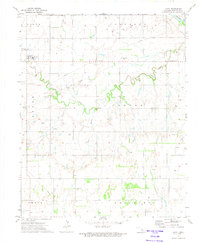
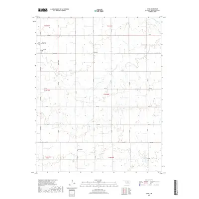
 2009 Loyal2009 Print · USGSCovers Loyal, including Oneida, Kingfisher County, and other nearby areas
 - 2012 Map of Loyal, 2012 Print
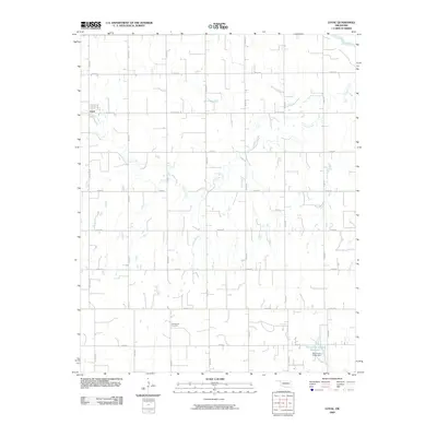
 2012 Loyal2012 Print · USGSCovers Loyal, including Oneida, Kingfisher County, and other nearby areas
 - 2016 Map of Loyal, 2016 Print
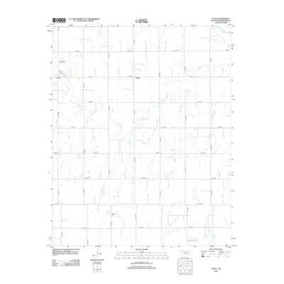
 2016 Loyal2016 Print · USGSCovers Loyal, including Oneida, Kingfisher County, and other nearby areas
 - 2018 Map of Loyal, 2018 Print
 2018 Loyal2018 Print · USGSCovers Loyal, including Oneida, Kingfisher County, and other nearby areas
 - 2022 Map of Loyal, 2022 Print
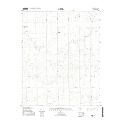
 2022 Loyal2022 Print · USGSKingfisher County's agricultural prairie is documented here in the early 2020s, centered on the settlement of Loyal. Researchers can locate several family and community burial sites, including Forest Home Cem, Greenwood Cem, and the small community at Oneida.
End of results
Showing maps 1-10 of 10
Top cities near Loyal
Frequently asked questions
- What are the different types of historical maps available for Loyal?
- What is the oldest map of Loyal?
- Where can I purchase historical maps of Loyal for my home or office?
- Where can I download high-res historical maps of Loyal?
- Are there historical topographic maps available for Loyal?
- Is there historical aerial imagery available for Loyal?
- Where are historical maps of Loyal sourced from?