Old Maps of Union, Oklahoma for Hiking & Exploration
Hike through history with these historic maps of Union. Explore old trails, ghost towns, and forgotten backroads — perfect for outdoor adventurers and local explorers.
- Rediscover forgotten places: Map out old mining camps, roads, and footpaths that no longer exist on modern maps.
- Layer with modern tools: Combine with LiDAR or satellite views to plan hikes through historical terrain.
- Made for exploration: Popular among hikers, overlanders, and local history lovers.
Use these maps to find adventure and explore the hidden past of Union.
Union, OK maps
- 1893 Map of Hennessey
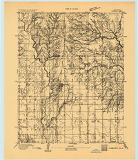 1893 Hennessey1893 Print · USGSOklahoma Territory is captured during its formative years of settlement as the iron rail connects the prairie to the wider world. Genealogists and historians can trace the early foundations of Hennessey or locate smaller, early outposts like Buffalo Springs, Paris, and Myrtle.
 - 1955 Map of Enid, 1966 Print
 1955 Enid1966 Print · USGSNorth-central Oklahoma's transition from open plains to the blackjack hills of the Osage Indian Reservation is captured in the mid-1950s. Researchers can trace the development of the Naval Reserve Oil Field, the grounds of Vance AFB, and the early footprints of Tulsa and Stillwater.4 unique versions available
 - 1956 Map of Hennessey, 1957 Print
 1956 Hennessey1957 Print · USGSHennessey and the surrounding wheat lands are captured here in the mid-fifties, centered on the busy Chicago Rock Island and Pacific rail corridor. Researchers can trace rural life through landmarks like Lyon Valley Sch (Abandoned), Bison Cem, and Union Chapel.2 unique versions available
 - 1958 Map of Enid
 1958 Enid1958 Print · USGSNorthern Oklahoma is mapped here in the late fifties, showcasing a dense network of petroleum production and historic tribal lands. Researchers can trace the legacy of the Osage Indian Reservation, early energy hubs like the Cushing Oil Field, and the Chilocco Indian Agricultural School.2 unique versions available
 - 1982 Map of Union
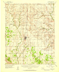
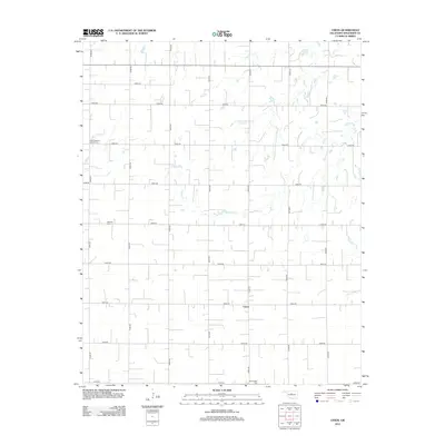
 1982 Union1982 Print · USGSOklahoma's prairie landscape in the early eighties reveals a region defined by agricultural traditions and oil extraction. Genealogists and historians can locate rural landmarks like St Josephs Cem, the settlement of Union, and the Oak Grove Ch.
 - 1990 Map of Enid
 1990 Enid1990 Print · USGSNorth-central Oklahoma's aviation and energy hubs are captured in the 1990s, from the streets of Stillwater to the runways of Vance Air Force Base. Researchers can locate active Oil and Gas Fields and trace local waterways like Skeleton Creek and Black Bear Creek.
 - 2009 Map of Union, 2009 Print
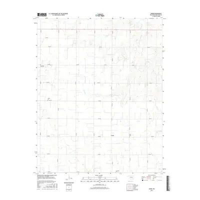
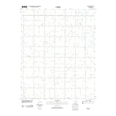 2009 Union2009 Print · USGSCovers Union, including Kingfisher County, United States, and other nearby areas
 - 2012 Map of Union, 2012 Print
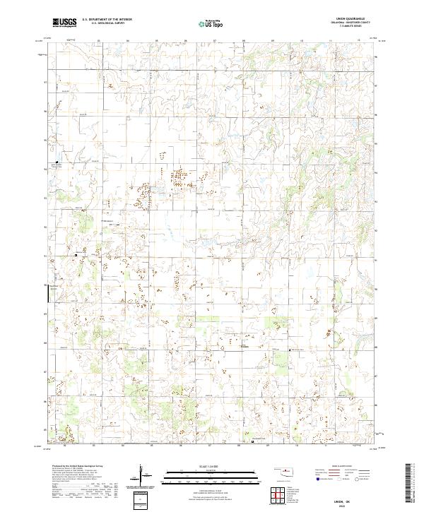
 2012 Union2012 Print · USGSCovers Union, including Kingfisher County, United States, and other nearby areas
 - 2016 Map of Union, 2016 Print
 2016 Union2016 Print · USGSCovers Union, including Kingfisher County, United States, and other nearby areas
 - 2018 Map of Union, 2018 Print
 2018 Union2018 Print · USGSCovers Union, including Kingfisher County, United States, and other nearby areas
 - 2022 Map of Union, 2022 Print
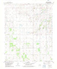
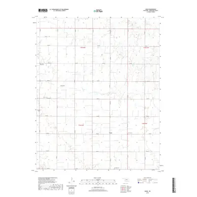
 2022 Union2022 Print · USGSThe rural expanse of Kingfisher County is captured here in the early twenty-first century, centered on the community of Union. Local historians can trace family roots through Saint Joseph's Catholic Cem or Oak Grove Cem and locate aviation sites like Haymaker Airport.
End of results
Showing maps 1-11
Top cities near Union
- Guthrie historical maps
- Kingfisher historical maps
- Hennessey historical maps
- Crescent historical maps
- Cashion historical maps
- Dover historical maps
See more
Frequently asked questions
- What are the different types of historical maps available for Union?
- What is the oldest map of Union?
- Where can I purchase historical maps of Union for my home or office?
- Where can I download high-res historical maps of Union?
- Are there historical topographic maps available for Union?
- Is there historical aerial imagery available for Union?
- Where are historical maps of Union sourced from?