Old Maps of Mountain Park, Oklahoma for Academic Research
Study the evolution of Mountain Park with 11 high-resolution historic maps. Whether you're teaching, researching, or modeling changes in land use, these maps provide essential visual documentation of urban, environmental, and geographic change.
- Analyze long-term change: Track patterns in development, transportation, and natural features.
- Ideal for environmental or urban studies: Support academic projects with primary historical map data.
- Use in the classroom or lab: Educators and researchers rely on these maps to bring historical context to life.
These maps are a powerful tool for teaching, research, and visualizing how Mountain Park has changed over the decades.
Mountain Park, OK maps
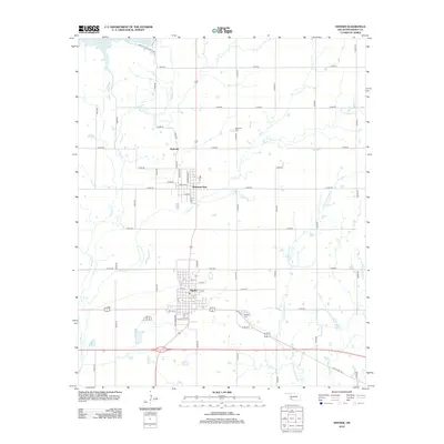
(11)- 1950 Map of Snyder, 1953 Print
 1950 Snyder1953 Print · USGSKiowa and Tillman Counties come into focus during the early fifties, showing a landscape where the granite peaks of the Wichita Mountains meet the Oklahoma prairie. Genealogists can locate numerous rural landmarks like Richland Sch, Maple Grove Ch, and the Oklahoma Cem.2 unique versions available
 - 1955 Map of Lawton, 1958 Print
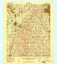
 1955 Lawton1958 Print · USGSSouthwestern Oklahoma and North Texas are shown here in the mid-fifties, dominated by the Wichita Mountains and the vital Red River watershed. Genealogists and historians can trace the foundations of Lawton alongside rural landmarks like Rainy Mountain Church and Pleasant Hill School.5 unique versions available
 - 1956 Map of Snyder, 1959 Print
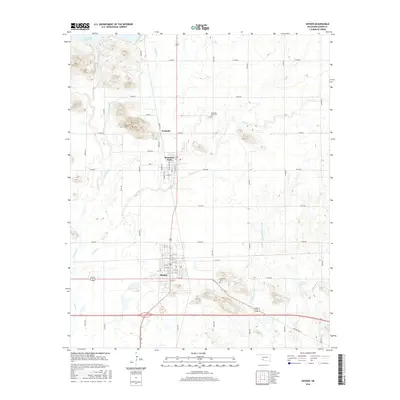
 1956 Snyder1959 Print · USGSSnyder and Mountain Park appear here during the mid-1950s as essential rail and water hubs in Kiowa County. Genealogists and researchers can locate the Snyder Cemetery, the path of the St Louis San Francisco railroad, and infrastructure like the Pumping station at Snyder Lake.2 unique versions available
 - 1956 Map of Snyder, 1960 Print
 1956 Snyder1960 Print · USGSSouthwestern Oklahoma's agricultural and mountain landscapes meet in the mid-1950s as the rail lines connect growing prairie towns. Researchers can locate family sites at Sopefield Cemetery, Oak Mission School, or the rural Pilgrim Church.
 - 1981 Map of Lawton
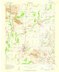
 1981 Lawton1981 Print · USGSSouthwestern Oklahoma in the early eighties shows a landscape shaped by military history and the rising peaks of the Wichitas. Researchers can trace the boundaries of the Fort Sill Military Reservation and locate early settlements like Meers, Chattanooga, and Richards Spur.
 - 1991 Map of Snyder, 1992 Print
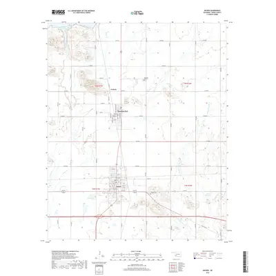
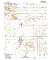 1991 Snyder1992 Print · USGSSnyder and Mountain Park appear here in the early nineties, framed by the waters of the Great Plains. Researchers can locate family landmarks like Mountain Park Cem, Southside Ch, and the small settlement of Svoboda.
 - 2010 Map of Snyder, 2010 Print
 2010 Snyder2010 Print · USGSCovers Mountain Park, including Snyder, Svoboda, and other nearby areas
 - 2012 Map of Snyder, 2012 Print
 2012 Snyder2012 Print · USGSCovers Mountain Park, including Snyder, Svoboda, and other nearby areas
 - 2016 Map of Snyder, 2016 Print
 2016 Snyder2016 Print · USGSCovers Mountain Park, including Snyder, Svoboda, and other nearby areas
 - 2018 Map of Snyder, 2018 Print
 2018 Snyder2018 Print · USGSCovers Mountain Park, including Snyder, Svoboda, and other nearby areas
 - 2022 Map of Snyder, 2022 Print
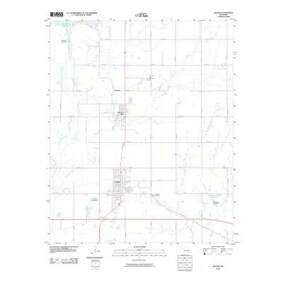
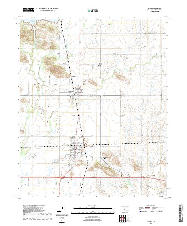 2022 Snyder2022 Print · USGSKiowa County life in the early 2020s is centered around the grids of Snyder and Mountain Park amidst a landscape shaped by the Otter Creek system. Researchers can trace local heritage at Fairlawn Cem or follow the path of Old US Hwy 62.
End of results
Showing maps 1-11 of 11
Top cities near Mountain Park
- Snyder historical maps
- Tipton historical maps
- Indiahoma historical maps
- Roosevelt historical maps
- Manitou historical maps
- Headrick historical maps
See more
Top neighborhoods of Mountain Park
Frequently asked questions
- What are the different types of historical maps available for Mountain Park?
- What is the oldest map of Mountain Park?
- Where can I purchase historical maps of Mountain Park for my home or office?
- Where can I download high-res historical maps of Mountain Park?
- Are there historical topographic maps available for Mountain Park?
- Is there historical aerial imagery available for Mountain Park?
- Where are historical maps of Mountain Park sourced from?