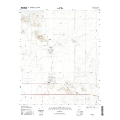
2016 Map of Snyder
USGS Topo · Published 2016About this map
Snyder sits at the southern edge of this Kiowa County landscape, where the prairie grid meets a complex network of seasonal creeks and low rises. The town’s structured street plan, including Elm St and Oak St, contrasts with the dispersed rural character of Svoboda and the neighboring community of Mountain Park to the north. These settlements are tied together by a drainage system feeding into the Tom Steed Reservoir and Otter Cr.
Find a feature on this map
25 named features on this map. Tap any name to fly to it.
Don’t see what you’re looking for? This feature index may not catch every label — zoom into the map to look around manually.
Map Details
Editions of this 2016 Snyder Map
This is the sole edition of this map. No revisions or reprints were ever made.
Other maps of this area

1949 · Cooperton
USGS Topo · 1:62,500

1950 · Snyder
USGS Topo · 1:62,500

1955 · Lawton
USGS Topo · 1:250,000

1956 · Glen Mountains
USGS Topo · 1:24,000

1956 · Cooperton
USGS Topo · 1:24,000

1956 · Odetta
USGS Topo · 1:24,000

1956 · Manitou
USGS Topo · 1:24,000

1956 · Snyder
USGS Topo · 1:24,000

1956 · Indiahoma
USGS Topo · 1:24,000

1956 · Snyder
USGS Topo · 1:62,500